STS068-204-48
| NASA Photo ID | STS068-204-48 |
| Focal Length | 250mm |
| Date taken | 1994.10.09 |
| Time taken | 17:38:22 GMT |
Resolutions offered for this image:
3904 x 3904 pixels 639 x 639 pixels 5700 x 5900 pixels 500 x 518 pixels 640 x 480 pixels 3347 x 3331 pixels
3904 x 3904 pixels 639 x 639 pixels 5700 x 5900 pixels 500 x 518 pixels 640 x 480 pixels 3347 x 3331 pixels


Cloud masks available for this image:
Spacecraft nadir point: 33.9° N, 95.0° W
Photo center point: 34.0° N, 95.0° W
Photo center point by machine learning:
Photo center point: 34.0° N, 95.0° W
Photo center point by machine learning:
Nadir to Photo Center: North
Spacecraft Altitude: 111 nautical miles (206km)
Country or Geographic Name: | USA-OKLAHOMA |
Features: | BROKEN BOW LAKE |
| Features Found Using Machine Learning: | |
Cloud Cover Percentage: | 0 (no clouds present) |
Sun Elevation Angle: | 49° |
Sun Azimuth: | 169° |
Camera: | Hasselblad |
Focal Length: | 250mm |
Camera Tilt: | 3 degrees |
Format: | 2443: Kodak Aerochrome 2443, color IR, thin base, EA-5 process thru June 1999, E-6 process afterward |
Film Exposure: | Normal |
| Additional Information | |
| Width | Height | Annotated | Cropped | Purpose | Links |
|---|---|---|---|---|---|
| 3904 pixels | 3904 pixels | No | No | Earth From Space collection | Download Image |
| 639 pixels | 639 pixels | No | No | Earth From Space collection | Download Image |
| 5700 pixels | 5900 pixels | No | No | Download Image | |
| 500 pixels | 518 pixels | No | No | Download Image | |
| 640 pixels | 480 pixels | No | No | Download Image | |
| 3347 pixels | 3331 pixels | Download Image |
Download Packaged File
Download a Google Earth KML for this Image
View photo footprint information
Download a GeoTIFF for this photo
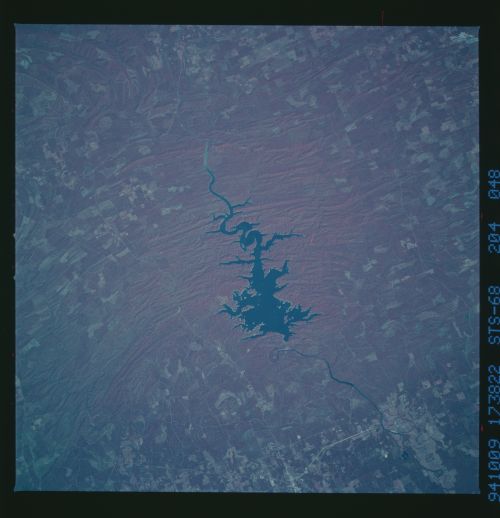
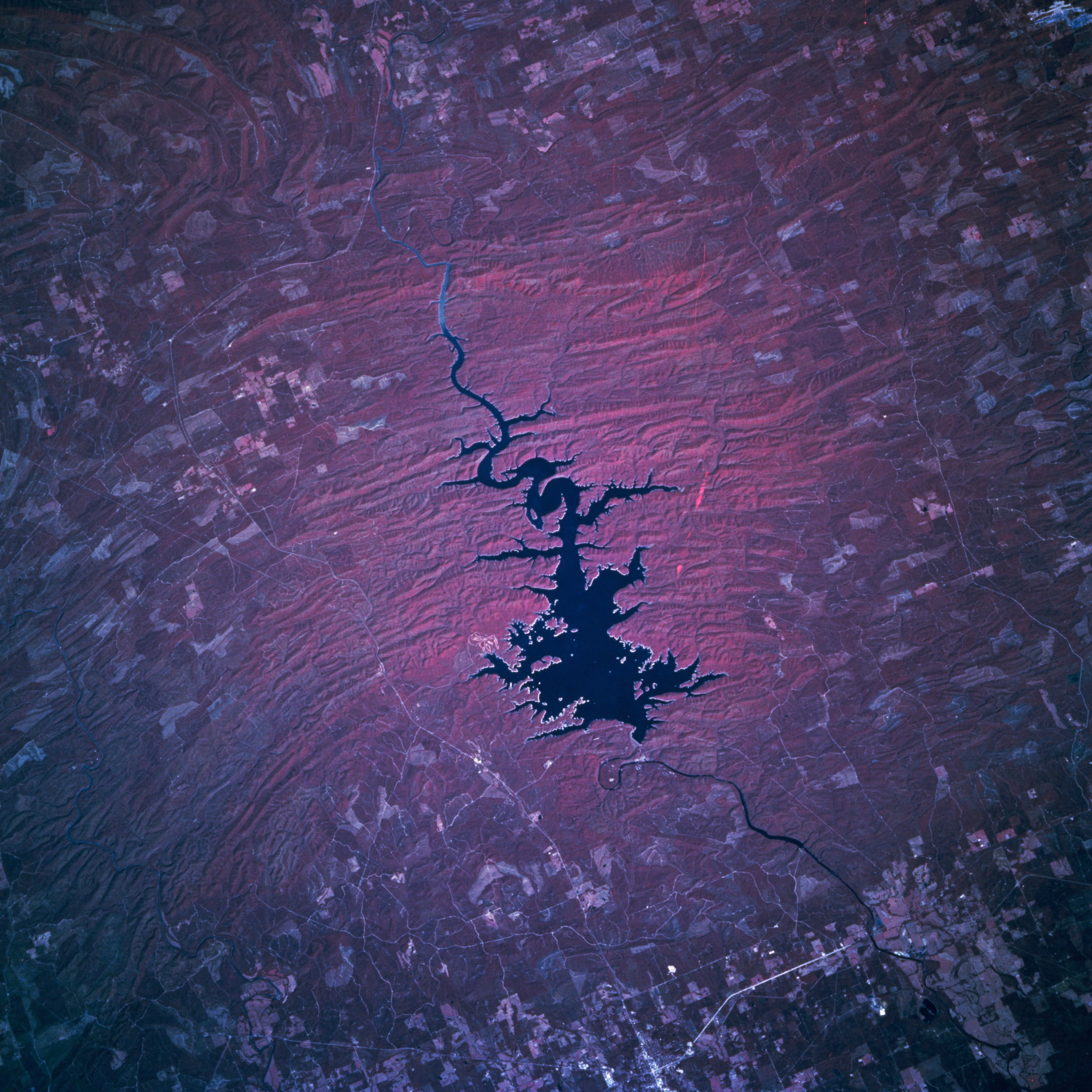
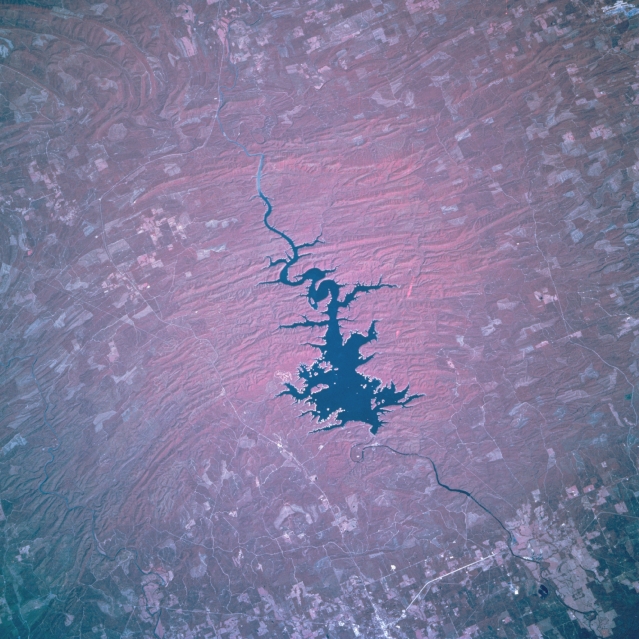
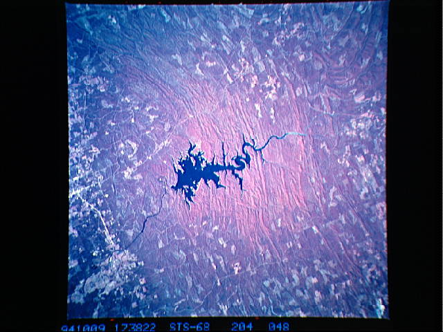
Image Caption: STS068-204-048 Broken Bow Lake, Oklahoma, U.S.A. October 1994
Broken Bow Lake, a recreational area surrounded by forests at the western end of the Ouachita Mountains, is featured in this north-looking, low-oblique, color infrared photograph. The lake is drained by the Mountain Fork River that joins the Little River south of the lake. The McCurtain County Wilderness Area covers the northeastern portion of the lake and expands into the surrounding forested areas. A portion of the small city of Broken Bow is visible south of the lake.
Broken Bow Lake, a recreational area surrounded by forests at the western end of the Ouachita Mountains, is featured in this north-looking, low-oblique, color infrared photograph. The lake is drained by the Mountain Fork River that joins the Little River south of the lake. The McCurtain County Wilderness Area covers the northeastern portion of the lake and expands into the surrounding forested areas. A portion of the small city of Broken Bow is visible south of the lake.
