STS068-202-98
| NASA Photo ID | STS068-202-98 |
| Focal Length | 250mm |
| Date taken | 1994.10.04 |
| Time taken | 17:54:24 GMT |
Resolutions offered for this image:
3875 x 3899 pixels 636 x 639 pixels 5700 x 5900 pixels 500 x 518 pixels 640 x 480 pixels
3875 x 3899 pixels 636 x 639 pixels 5700 x 5900 pixels 500 x 518 pixels 640 x 480 pixels
Cloud masks available for this image:
Spacecraft nadir point: 38.5° N, 75.2° W
Photo center point: 39.0° N, 75.0° W
Photo center point by machine learning:
Photo center point: 39.0° N, 75.0° W
Photo center point by machine learning:
Nadir to Photo Center: North
Spacecraft Altitude: 117 nautical miles (217km)
Country or Geographic Name: | USA-DELAWARE |
Features: | DELAWARE BAY |
| Features Found Using Machine Learning: | |
Cloud Cover Percentage: | 5 (1-10)% |
Sun Elevation Angle: | 45° |
Sun Azimuth: | 203° |
Camera: | Hasselblad |
Focal Length: | 250mm |
Camera Tilt: | 15 degrees |
Format: | 2443: Kodak Aerochrome 2443, color IR, thin base, EA-5 process thru June 1999, E-6 process afterward |
Film Exposure: | Normal |
| Additional Information | |
| Width | Height | Annotated | Cropped | Purpose | Links |
|---|---|---|---|---|---|
| 3875 pixels | 3899 pixels | No | No | Earth From Space collection | Download Image |
| 636 pixels | 639 pixels | No | No | Earth From Space collection | Download Image |
| 5700 pixels | 5900 pixels | No | No | Download Image | |
| 500 pixels | 518 pixels | No | No | Download Image | |
| 640 pixels | 480 pixels | No | No | Download Image |
Download Packaged File
Download a Google Earth KML for this Image
View photo footprint information
Download a GeoTIFF for this photo
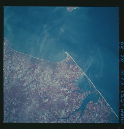
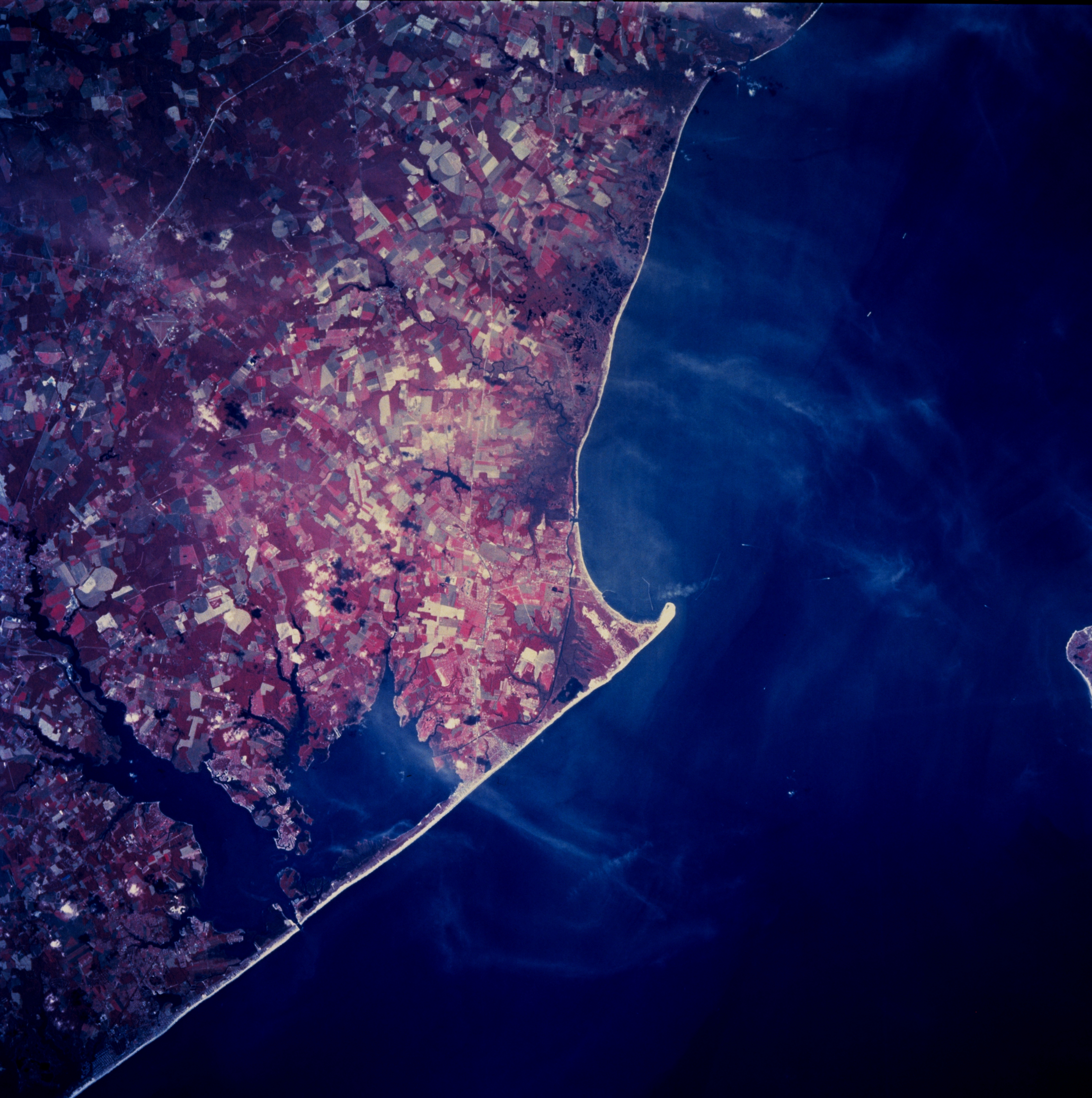
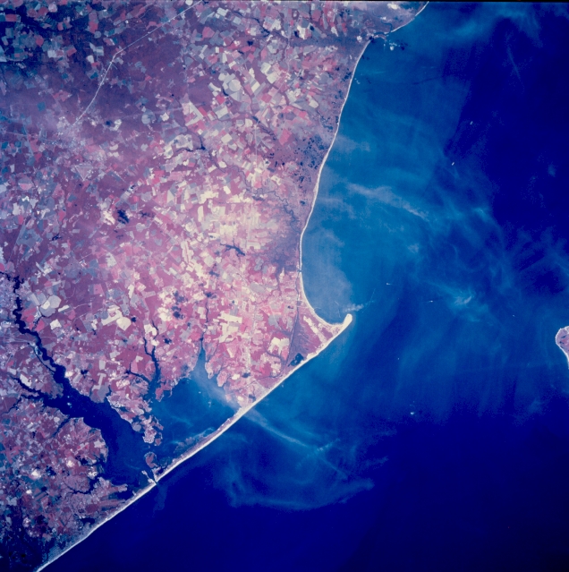
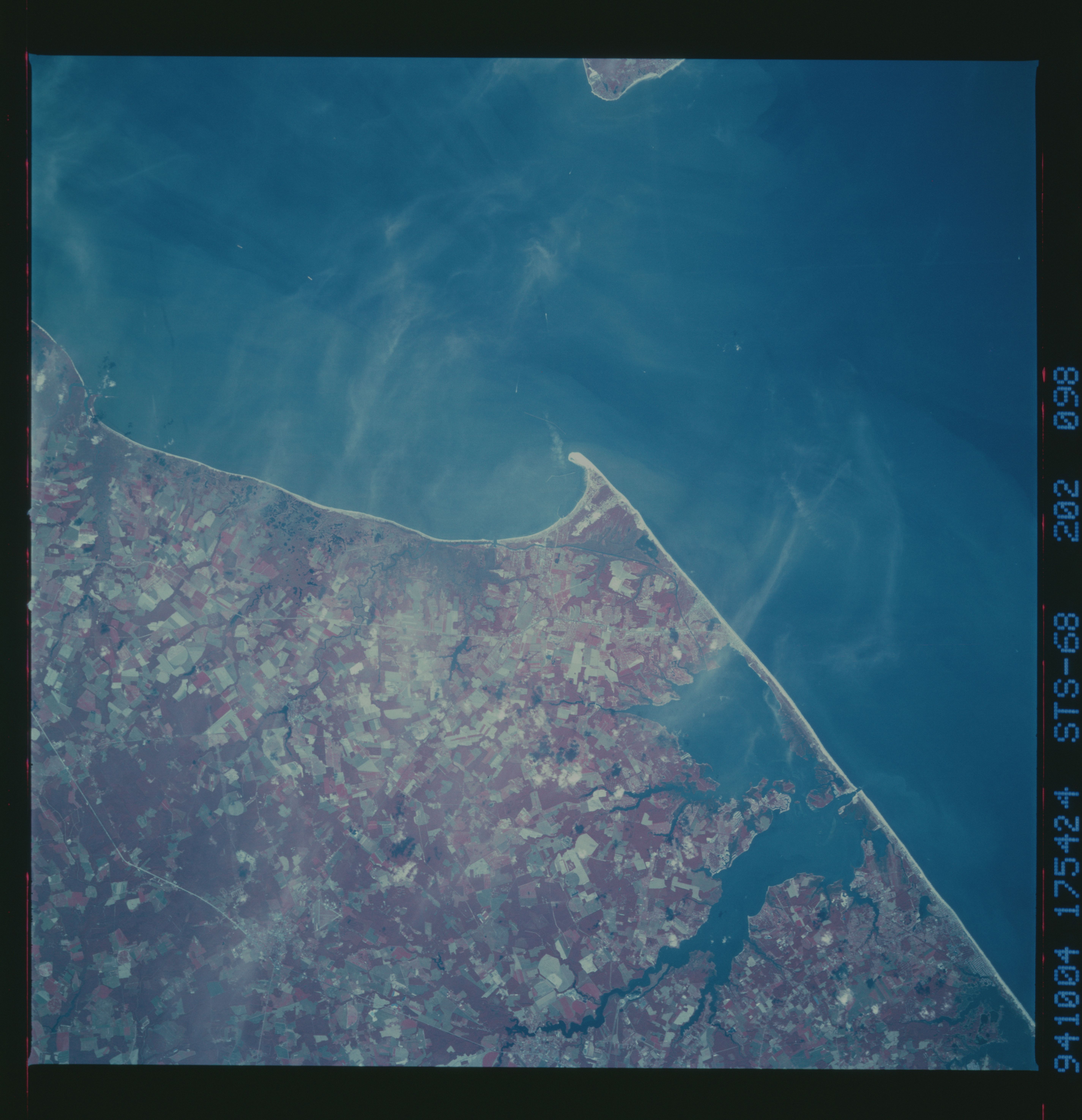
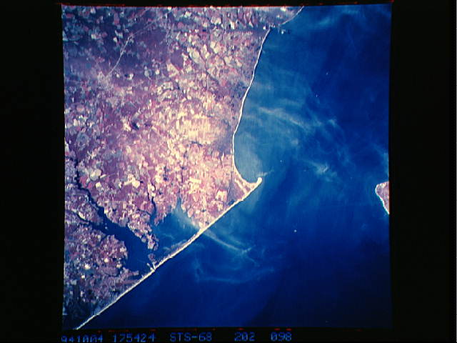
Image Caption: STS068-202-098 Southeast Coast, Delaware, U.S.A. October 1994
The small sand spit seen here near the center of this color infrared image is Cape Henlopen. This feature is located along the southwest side of the entrance to Delaware Bay (Cape May Point-NJ-is the small tip of land northeast of Cape Henlopen). Several swampy, wetland areas are visible along the Delaware coast: both on the Atlantic Ocean facing shore (Rehoboth and Indian River Bays) and along the south side of Delaware Bay immediately northwest of Cape Henlopen. The color infrared image helps to accentuate the predominately agricultural landscape (angular field patterns). The deeper reds indicate clusters of forested lands. A short section of U. S. Highway 113 (linear, light colored line) is visible near the upper left corner of the image.
The small sand spit seen here near the center of this color infrared image is Cape Henlopen. This feature is located along the southwest side of the entrance to Delaware Bay (Cape May Point-NJ-is the small tip of land northeast of Cape Henlopen). Several swampy, wetland areas are visible along the Delaware coast: both on the Atlantic Ocean facing shore (Rehoboth and Indian River Bays) and along the south side of Delaware Bay immediately northwest of Cape Henlopen. The color infrared image helps to accentuate the predominately agricultural landscape (angular field patterns). The deeper reds indicate clusters of forested lands. A short section of U. S. Highway 113 (linear, light colored line) is visible near the upper left corner of the image.
