STS068-201-68
| NASA Photo ID | STS068-201-68 |
| Focal Length | 250mm |
| Date taken | 1994.10.03 |
| Time taken | 18:11:22 GMT |
Resolutions offered for this image:
3904 x 3904 pixels 639 x 639 pixels 5700 x 5900 pixels 500 x 518 pixels 640 x 480 pixels
3904 x 3904 pixels 639 x 639 pixels 5700 x 5900 pixels 500 x 518 pixels 640 x 480 pixels

Cloud masks available for this image:
Spacecraft nadir point: 44.9° N, 82.8° W
Photo center point: 44.5° N, 84.5° W
Photo center point by machine learning:
Photo center point: 44.5° N, 84.5° W
Photo center point by machine learning:
Nadir to Photo Center: West
Spacecraft Altitude: 117 nautical miles (217km)
Country or Geographic Name: | USA-MICHIGAN |
Features: | HOUGHTON LAKE AREA |
| Features Found Using Machine Learning: | |
Cloud Cover Percentage: | 5 (1-10)% |
Sun Elevation Angle: | 40° |
Sun Azimuth: | 197° |
Camera: | Hasselblad |
Focal Length: | 250mm |
Camera Tilt: | 42 degrees |
Format: | 2443: Kodak Aerochrome 2443, color IR, thin base, EA-5 process thru June 1999, E-6 process afterward |
Film Exposure: | Normal |
| Additional Information | |
| Width | Height | Annotated | Cropped | Purpose | Links |
|---|---|---|---|---|---|
| 3904 pixels | 3904 pixels | No | No | Earth From Space collection | Download Image |
| 639 pixels | 639 pixels | No | No | Earth From Space collection | Download Image |
| 5700 pixels | 5900 pixels | No | No | Download Image | |
| 500 pixels | 518 pixels | No | No | Download Image | |
| 640 pixels | 480 pixels | No | No | Download Image |
Download Packaged File
Download a Google Earth KML for this Image
View photo footprint information
Download a GeoTIFF for this photo
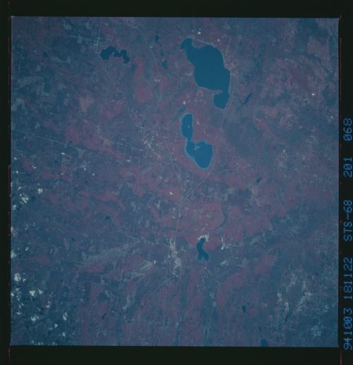
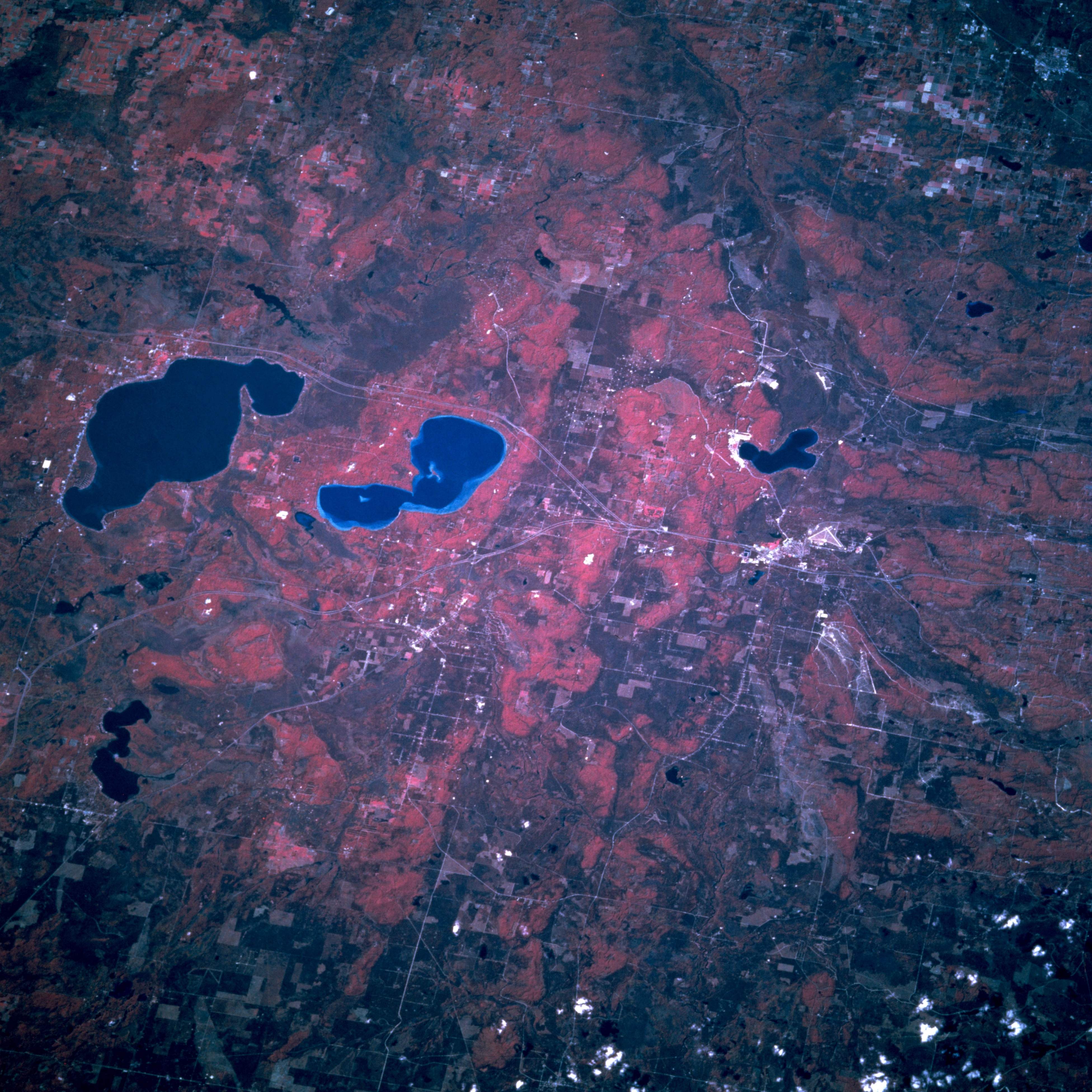
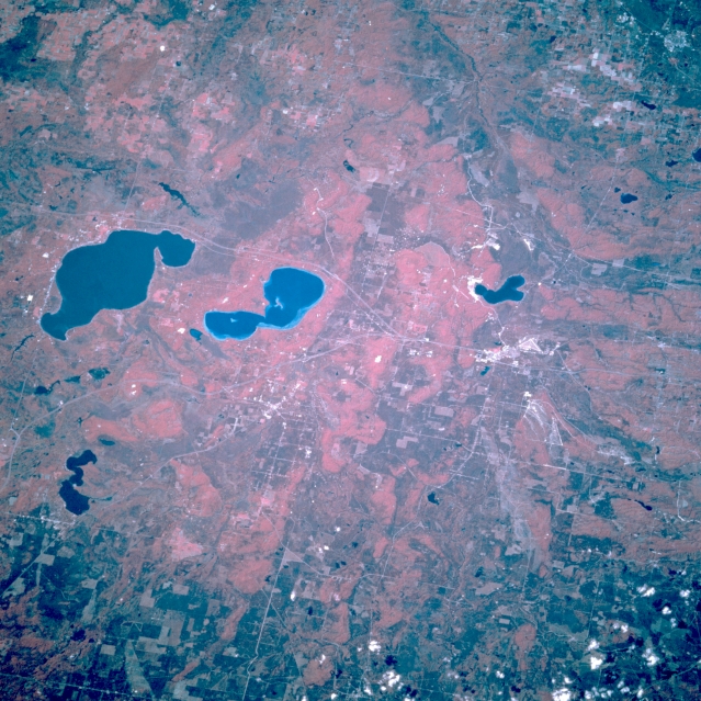
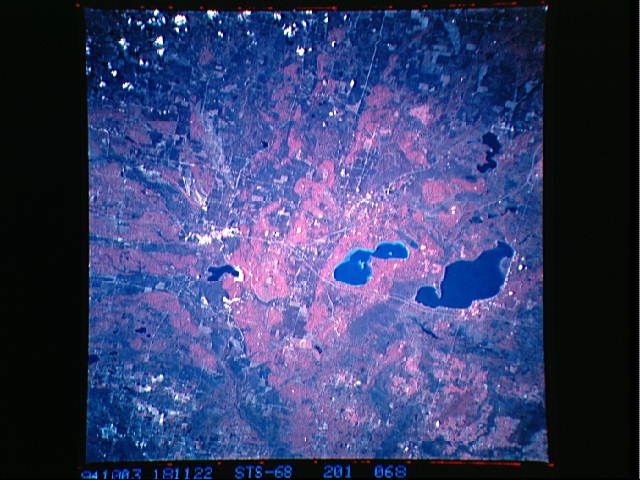
Image Caption: STS068-201-068 Higgins Lake and Houghton Lake, Michigan, U.S.A. October 1994
This west-looking, low-oblique, color infrared photograph features the forests surrounding dark blue Houghton Lake (left center) and lighter blue Higgins Lake to the north. Two smaller lakes are discernible--Lake Margrethe north-northwest of Lake Higgins near the small resort city of Grayling (right of center) and Lake Saint Helen east of Lake Houghton. The area is a year-around resort and recreational area and provides lumber and wood products manufacturing. Farmland is limited in the glacial landscape of sandy hills and moraines.
This west-looking, low-oblique, color infrared photograph features the forests surrounding dark blue Houghton Lake (left center) and lighter blue Higgins Lake to the north. Two smaller lakes are discernible--Lake Margrethe north-northwest of Lake Higgins near the small resort city of Grayling (right of center) and Lake Saint Helen east of Lake Houghton. The area is a year-around resort and recreational area and provides lumber and wood products manufacturing. Farmland is limited in the glacial landscape of sandy hills and moraines.
