STS068-167-C
| NASA Photo ID | STS068-167-C |
| Focal Length | 250mm |
| Date taken | 1994.10.09 |
| Time taken | 17:35:35 GMT |

Cloud masks available for this image:
Spacecraft nadir point: 42.3° N, 104.5° W
Photo center point: 44.0° N, 103.0° W
Photo center point by machine learning:
Photo center point: 44.0° N, 103.0° W
Photo center point by machine learning:
Nadir to Photo Center: Northeast
Spacecraft Altitude: 111 nautical miles (206km)
Country or Geographic Name: | USA-SOUTH DAKOTA |
Features: | BLACK HILLS, RAPID CITY |
| Features Found Using Machine Learning: | |
Cloud Cover Percentage: | 0 (no clouds present) |
Sun Elevation Angle: | 39° |
Sun Azimuth: | 157° |
Camera: | Linhof |
Focal Length: | 250mm |
Camera Tilt: | 51 degrees |
Format: | 5048: Kodak, natural color positive, Lumiere 100x/5048, ASA 100x, standard base |
Film Exposure: | Normal |
| Additional Information | |
| Width | Height | Annotated | Cropped | Purpose | Links |
|---|---|---|---|---|---|
| 5152 pixels | 4096 pixels | No | No | Earth From Space collection | Download Image |
| 640 pixels | 508 pixels | No | No | Earth From Space collection | Download Image |
| 640 pixels | 480 pixels | No | No | ISD 1 | Download Image |
Download Packaged File
Download a Google Earth KML for this Image
View photo footprint information
Download a GeoTIFF for this photo
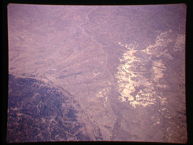
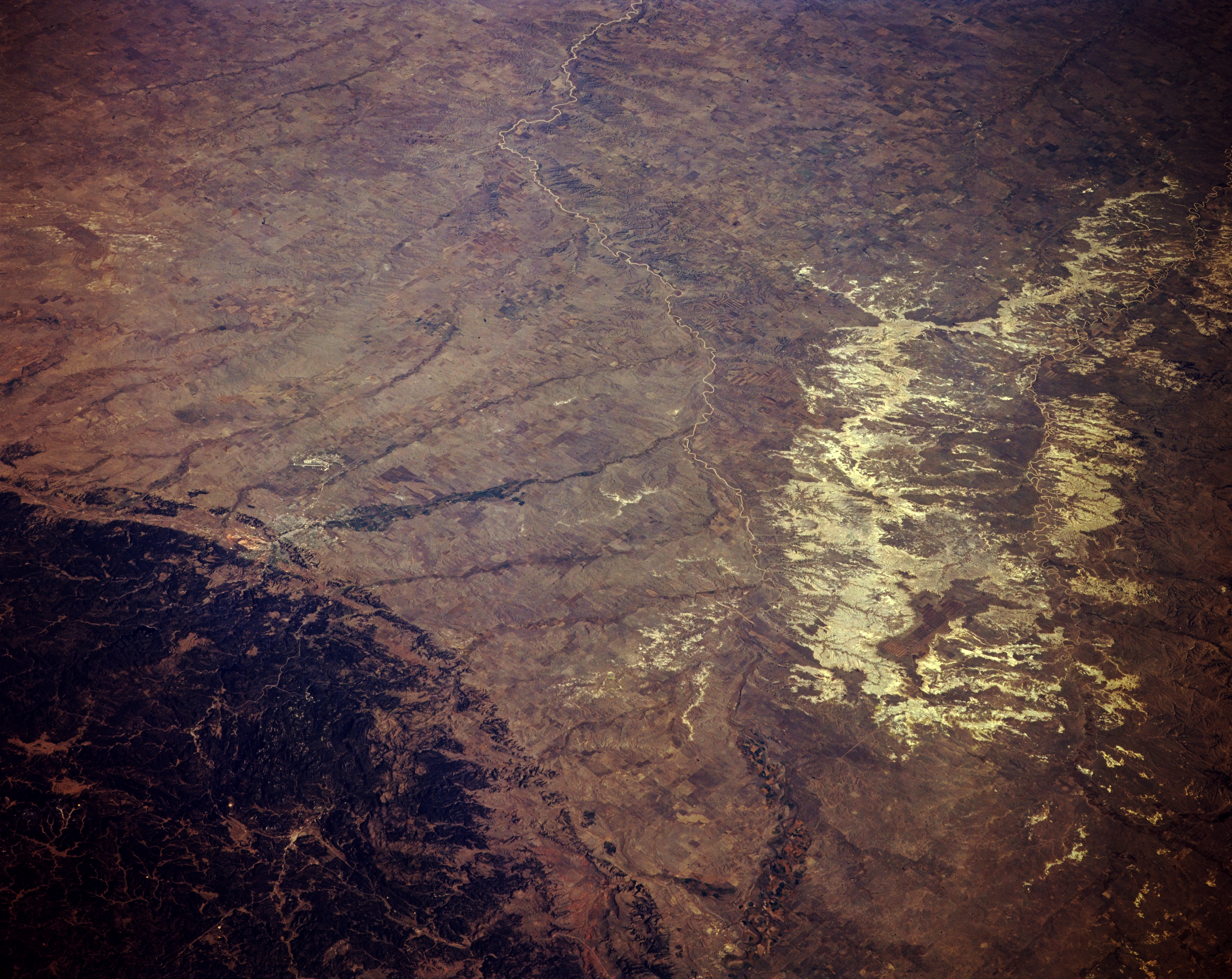
Image Caption: STS068-167-00C Badlands, Cheyenne River, and Black Hills, South Dakota, U.S.A. October 1994
Apparent in this panoramic, northeast-looking, low-oblique photograph of the badlands are the forested, rugged Black Hills and the meandering Cheyenne River. The gullied badlands, within the Pine Ridge Indian Reservation, lie east of the Cheyenne River, which rises in eastern Wyoming and has cut a valley in the soft rock of western South Dakota 300 to 700 feet (92 to 214 meters) deep and several miles wide. The Cheyenne River empties into the part of the Missouri River that forms Lake Oahe in central South Dakota (not visible in this photograph). The Black Hills, named for their heavily forested slopes that appear black from afar, are an elliptical dome dissected by streams. Barely discernible east of the Black Hills is Rapid City.
Apparent in this panoramic, northeast-looking, low-oblique photograph of the badlands are the forested, rugged Black Hills and the meandering Cheyenne River. The gullied badlands, within the Pine Ridge Indian Reservation, lie east of the Cheyenne River, which rises in eastern Wyoming and has cut a valley in the soft rock of western South Dakota 300 to 700 feet (92 to 214 meters) deep and several miles wide. The Cheyenne River empties into the part of the Missouri River that forms Lake Oahe in central South Dakota (not visible in this photograph). The Black Hills, named for their heavily forested slopes that appear black from afar, are an elliptical dome dissected by streams. Barely discernible east of the Black Hills is Rapid City.
