STS068-164-127
| NASA Photo ID | STS068-164-127 |
| Focal Length | 250mm |
| Date taken | 1994.10.02 |
| Time taken | 18:30:28 GMT |

Cloud masks available for this image:
Spacecraft nadir point: 44.4° N, 81.1° W
Photo center point: 43.5° N, 83.0° W
Photo center point by machine learning:
Photo center point: 43.5° N, 83.0° W
Photo center point by machine learning:
Nadir to Photo Center: West
Spacecraft Altitude: 118 nautical miles (219km)
Country or Geographic Name: | USA-MICHIGAN |
Features: | SAGINAW B, AGRICULTURE, SEDIMENT |
| Features Found Using Machine Learning: | |
Cloud Cover Percentage: | 5 (1-10)% |
Sun Elevation Angle: | 39° |
Sun Azimuth: | 205° |
Camera: | Linhof |
Focal Length: | 250mm |
Camera Tilt: | 47 degrees |
Format: | 5046: Kodak, natural color positive, Lumiere 100/5046, ASA 100, standard base |
Film Exposure: | Normal |
| Additional Information | |
| Width | Height | Annotated | Cropped | Purpose | Links |
|---|---|---|---|---|---|
| 5184 pixels | 4096 pixels | No | No | Earth From Space collection | Download Image |
| 640 pixels | 505 pixels | No | No | Earth From Space collection | Download Image |
| 640 pixels | 480 pixels | No | No | ISD 1 | Download Image |
Download Packaged File
Download a Google Earth KML for this Image
View photo footprint information
Download a GeoTIFF for this photo
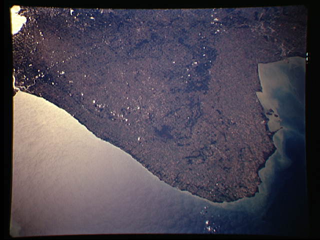
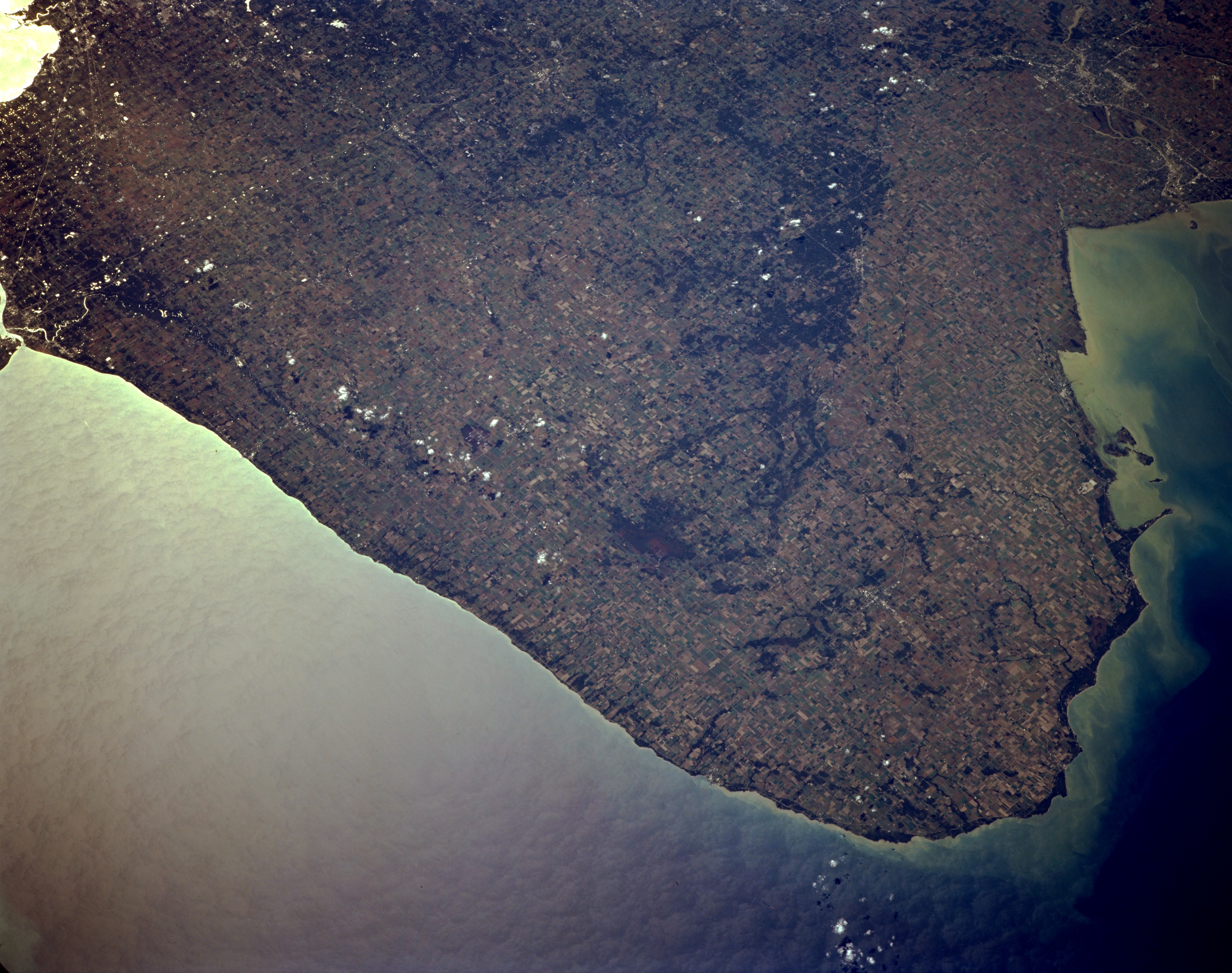
Image Caption: STS068-164-127 Point Aux Barques, Michigan, U.S.A. October 1994
With Lake Huron to its east and Saginaw Bay to its west, a peninsula of rich agricultural land terminating at Point Aux Barques (lower right) is visible in this southwest-looking, low-oblique photograph. The peninsula has coastal lowlands inland from the shores of Lake Huron and Saginaw Bay, which shows sediment from the Saginaw River. The middle peninsula is composed of gently rolling terrain and some hilly moraines with forest cover more prevalent in the hilly regions. Barely discernible are Saginaw and Bay City (upper right); the western quarter of Lake Saint Clair (upper left); and Port Huron, where Lake Huron drains into the Saint Clair River (just above left center).
With Lake Huron to its east and Saginaw Bay to its west, a peninsula of rich agricultural land terminating at Point Aux Barques (lower right) is visible in this southwest-looking, low-oblique photograph. The peninsula has coastal lowlands inland from the shores of Lake Huron and Saginaw Bay, which shows sediment from the Saginaw River. The middle peninsula is composed of gently rolling terrain and some hilly moraines with forest cover more prevalent in the hilly regions. Barely discernible are Saginaw and Bay City (upper right); the western quarter of Lake Saint Clair (upper left); and Port Huron, where Lake Huron drains into the Saint Clair River (just above left center).
