STS068-162-166
| NASA Photo ID | STS068-162-166 |
| Focal Length | 90mm |
| Date taken | 1994.10.04 |
| Time taken | 20:50:43 GMT |

Cloud masks available for this image:
Spacecraft nadir point: 42.0° N, 124.6° W
Photo center point: 43.0° N, 124.5° W
Photo center point by machine learning:
Photo center point: 43.0° N, 124.5° W
Photo center point by machine learning:
Nadir to Photo Center: North
Spacecraft Altitude: 116 nautical miles (215km)
Country or Geographic Name: | USA-OREGON |
Features: | CAPE BLANCO, COOS BAY |
| Features Found Using Machine Learning: | |
Cloud Cover Percentage: | 10 (1-10)% |
Sun Elevation Angle: | 43° |
Sun Azimuth: | 195° |
Camera: | Linhof |
Focal Length: | 90mm |
Camera Tilt: | 27 degrees |
Format: | 5046: Kodak, natural color positive, Lumiere 100/5046, ASA 100, standard base |
Film Exposure: | Normal |
| Additional Information | |
| Width | Height | Annotated | Cropped | Purpose | Links |
|---|---|---|---|---|---|
| 5152 pixels | 4065 pixels | No | No | Earth From Space collection | Download Image |
| 640 pixels | 504 pixels | No | No | Earth From Space collection | Download Image |
| 640 pixels | 480 pixels | No | No | ISD 1 | Download Image |
Download Packaged File
Download a Google Earth KML for this Image
View photo footprint information
Download a GeoTIFF for this photo
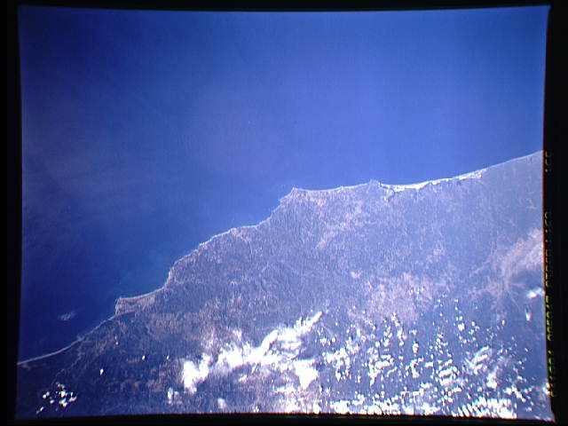
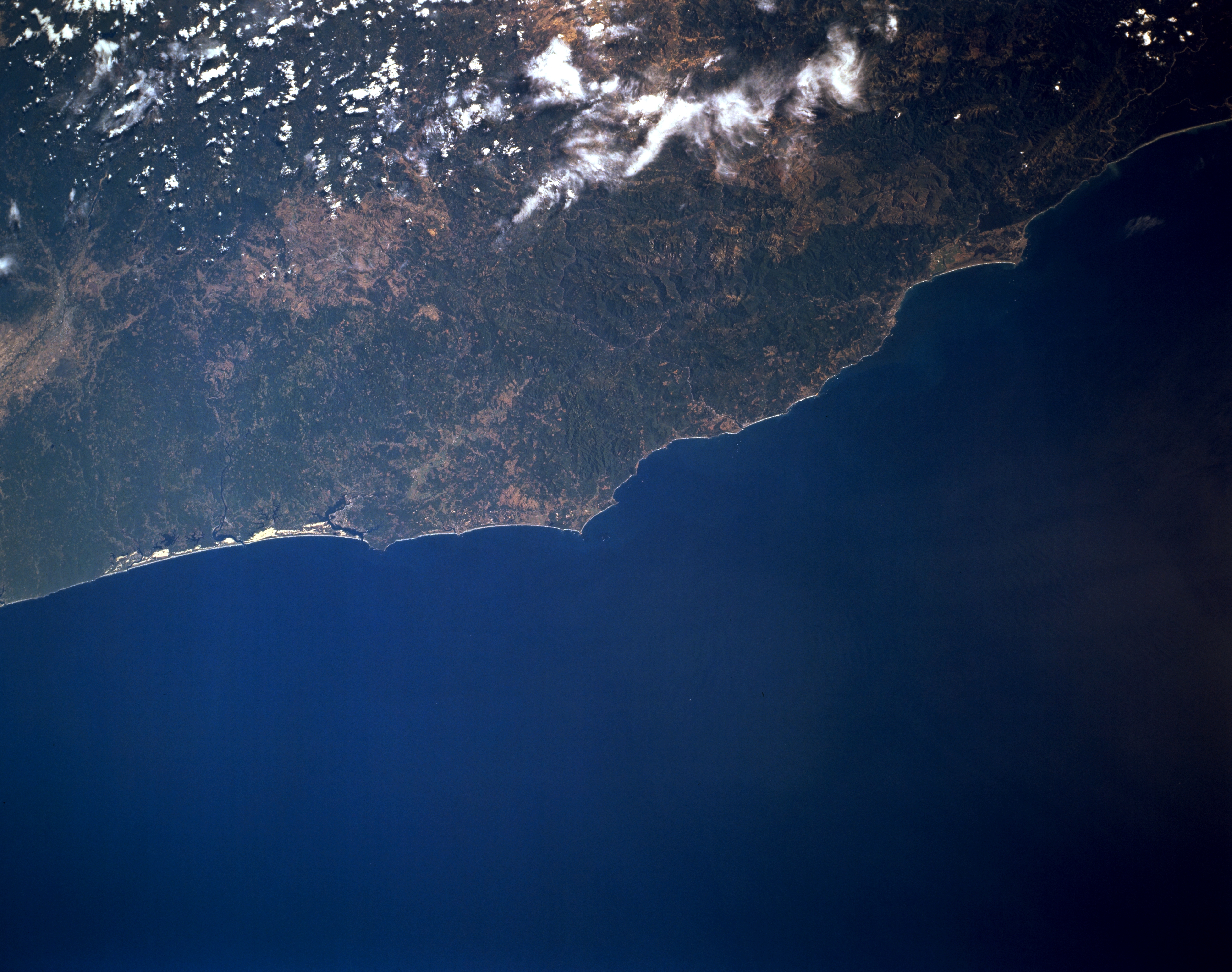
Image Caption: STS068-162-166 Southern Oregon Coast and Coast Range, Oregon, U.S.A. October 1994
This low-oblique, east-looking photograph shows the southern Oregon coast from Florence, Oregon, near the left center of the photograph, southward to Klamath, California, near the upper right. Bright white Oregon Dunes National Recreation Area borders the Pacific Ocean, and small Coos Bay is barely discernible to its right. Cape Blanco appears near the center of the photograph. Near Crescent City, California, is Point Saint George, the protrusion near the upper right of the photograph. The forested Coast Range lies parallel to the coast, and patches of clouds cover the western Cascade Range.
This low-oblique, east-looking photograph shows the southern Oregon coast from Florence, Oregon, near the left center of the photograph, southward to Klamath, California, near the upper right. Bright white Oregon Dunes National Recreation Area borders the Pacific Ocean, and small Coos Bay is barely discernible to its right. Cape Blanco appears near the center of the photograph. Near Crescent City, California, is Point Saint George, the protrusion near the upper right of the photograph. The forested Coast Range lies parallel to the coast, and patches of clouds cover the western Cascade Range.
