STS068-160-104
| NASA Photo ID | STS068-160-104 |
| Focal Length | 90mm |
| Date taken | 1994.10.08 |
| Time taken | 16:44:44 GMT |
Resolutions offered for this image:
640 x 480 pixels
640 x 480 pixels
Cloud masks available for this image:
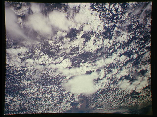
Spacecraft nadir point: 6.1° S, 45.9° W
Photo center point: 4.0° S, 44.5° W
Photo center point by machine learning:
Photo center point: 4.0° S, 44.5° W
Photo center point by machine learning:
Nadir to Photo Center: Northeast
Spacecraft Altitude: 112 nautical miles (207km)
Country or Geographic Name: | BRAZIL |
Features: | CLOUDS, SAO MARCOS BAY |
| Features Found Using Machine Learning: | |
Cloud Cover Percentage: | 90 (76-100)% |
Sun Elevation Angle: | 62° |
Sun Azimuth: | 269° |
Camera: | Linhof |
Focal Length: | 90mm |
Camera Tilt: | 53 degrees |
Format: | 5046: Kodak, natural color positive, Lumiere 100/5046, ASA 100, standard base |
Film Exposure: | Normal |
| Additional Information | |
| Width | Height | Annotated | Cropped | Purpose | Links |
|---|---|---|---|---|---|
| 640 pixels | 480 pixels | No | No | ISD 1 | Download Image |
Download Packaged File
Download a Google Earth KML for this Image
View photo footprint information
Download a GeoTIFF for this photo
Image Caption: none
