STS066-88-73

| NASA Photo ID | STS066-88-73 |
| Focal Length | 250mm |
| Date taken | 1994.11.05 |
| Time taken | 17:22:28 GMT |
Resolutions offered for this image:
3904 x 3904 pixels 639 x 639 pixels 5700 x 5900 pixels 500 x 518 pixels 640 x 480 pixels
3904 x 3904 pixels 639 x 639 pixels 5700 x 5900 pixels 500 x 518 pixels 640 x 480 pixels

Cloud masks available for this image:
Spacecraft nadir point: 30.2° N, 94.7° W
Photo center point: 30.5° N, 96.5° W
Photo center point by machine learning:
Photo center point: 30.5° N, 96.5° W
Photo center point by machine learning:
Nadir to Photo Center: West
Spacecraft Altitude: 163 nautical miles (302km)
Country or Geographic Name: | USA-TEXAS |
Features: | BRYAN, BRAZOS RIVER |
| Features Found Using Machine Learning: | |
Cloud Cover Percentage: | 0 (no clouds present) |
Sun Elevation Angle: | 43° |
Sun Azimuth: | 167° |
Camera: | Hasselblad |
Focal Length: | 250mm |
Camera Tilt: | 34 degrees |
Format: | 5046: Kodak, natural color positive, Lumiere 100/5046, ASA 100, standard base |
Film Exposure: | Normal |
| Additional Information | |
| Width | Height | Annotated | Cropped | Purpose | Links |
|---|---|---|---|---|---|
| 3904 pixels | 3904 pixels | No | No | Earth From Space collection | Download Image |
| 639 pixels | 639 pixels | No | No | Earth From Space collection | Download Image |
| 5700 pixels | 5900 pixels | No | No | Download Image | |
| 500 pixels | 518 pixels | No | No | Download Image | |
| 640 pixels | 480 pixels | No | No | Download Image |
Download Packaged File
Download a Google Earth KML for this Image
View photo footprint information
Download a GeoTIFF for this photo
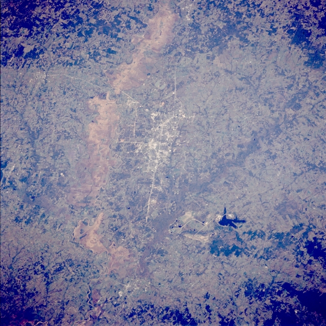
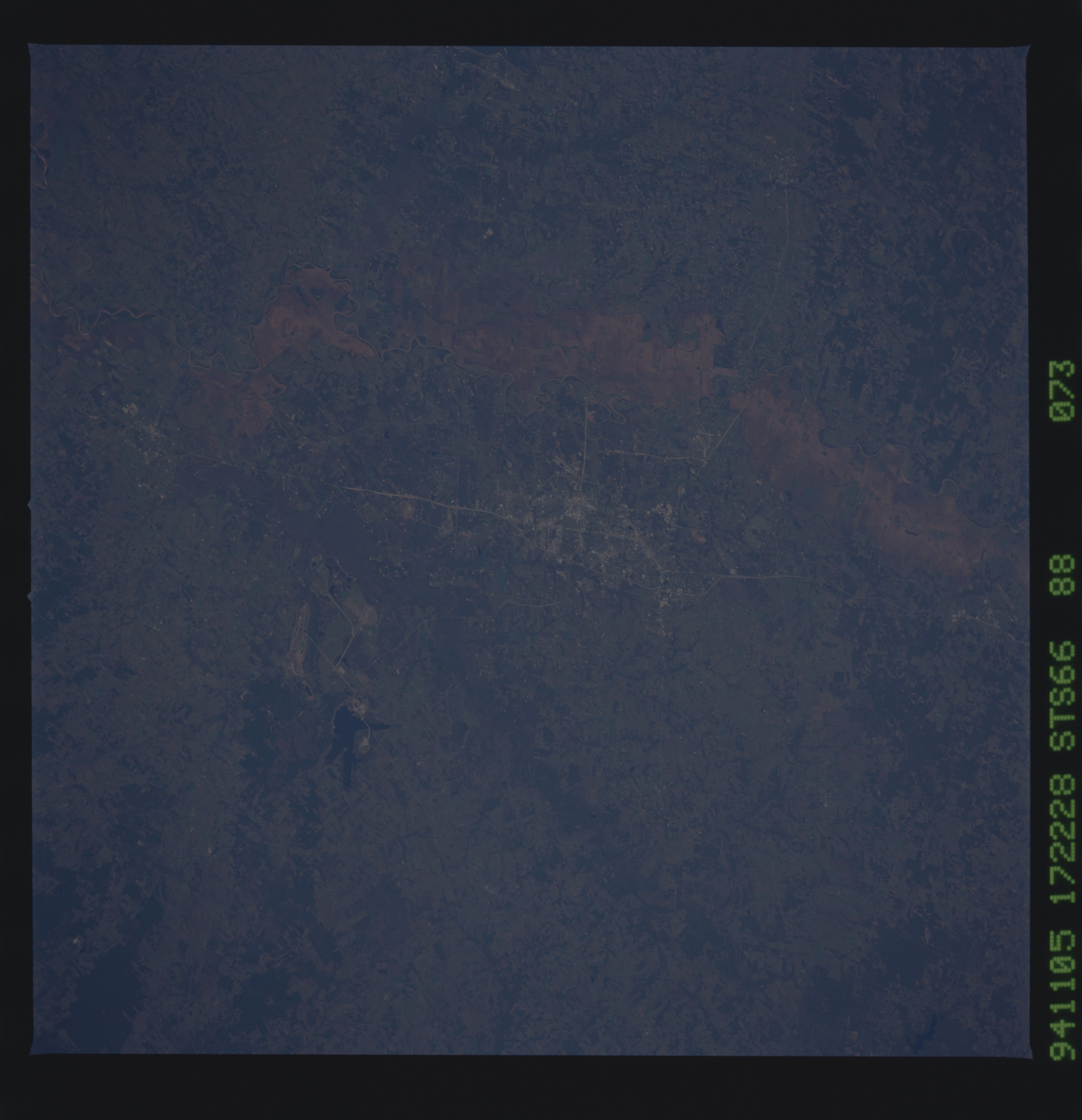
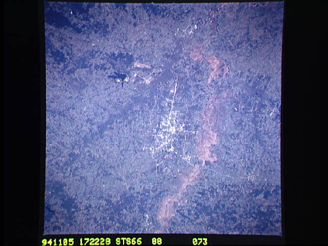
Image Caption: STS066-088-073 Bryan and College Station, Texas, U.S.A. November 1994
Discernible in this photograph are some of the grid street patterns for College Station and Bryan, which are connected by Texas Highway 6. The tan swath of land west of these two towns is the floodplain of the Brazos River; the actual stream channel can be identified in only a few places (top and bottom of the photograph). The lighter colors show grass-covered plains and rolling hills; darker hardwood woodlands, found in stream bottoms or small valleys, are scattered throughout. Gibbons Creek is the small, irregular reservoir southeast of College Station.
Discernible in this photograph are some of the grid street patterns for College Station and Bryan, which are connected by Texas Highway 6. The tan swath of land west of these two towns is the floodplain of the Brazos River; the actual stream channel can be identified in only a few places (top and bottom of the photograph). The lighter colors show grass-covered plains and rolling hills; darker hardwood woodlands, found in stream bottoms or small valleys, are scattered throughout. Gibbons Creek is the small, irregular reservoir southeast of College Station.
