STS066-154-56
| NASA Photo ID | STS066-154-56 |
| Focal Length | 250mm |
| Date taken | 1994.11.07 |
| Time taken | 16:09:00 GMT |
Cloud masks available for this image:
Spacecraft nadir point: 34.2° N, 83.3° W
Photo center point: 34.0° N, 84.0° W
Photo center point by machine learning:
Photo center point: 34.0° N, 84.0° W
Photo center point by machine learning:
Nadir to Photo Center: West
Spacecraft Altitude: 161 nautical miles (298km)
Country or Geographic Name: | USA-GEORGIA |
Features: | ATLANTA, L. SYDNEY LANIER |
| Features Found Using Machine Learning: | |
Cloud Cover Percentage: | 0 (no clouds present) |
Sun Elevation Angle: | 37° |
Sun Azimuth: | 159° |
Camera: | Linhof |
Focal Length: | 250mm |
Camera Tilt: | 15 degrees |
Format: | 5046: Kodak, natural color positive, Lumiere 100/5046, ASA 100, standard base |
Film Exposure: | Normal |
| Additional Information | |
| Width | Height | Annotated | Cropped | Purpose | Links |
|---|---|---|---|---|---|
| 4096 pixels | 5184 pixels | No | No | Earth From Space collection | Download Image |
| 505 pixels | 640 pixels | No | No | Earth From Space collection | Download Image |
| 640 pixels | 480 pixels | No | No | ISD 1 | Download Image |
Download Packaged File
Download a Google Earth KML for this Image
View photo footprint information
Download a GeoTIFF for this photo
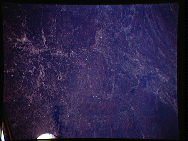
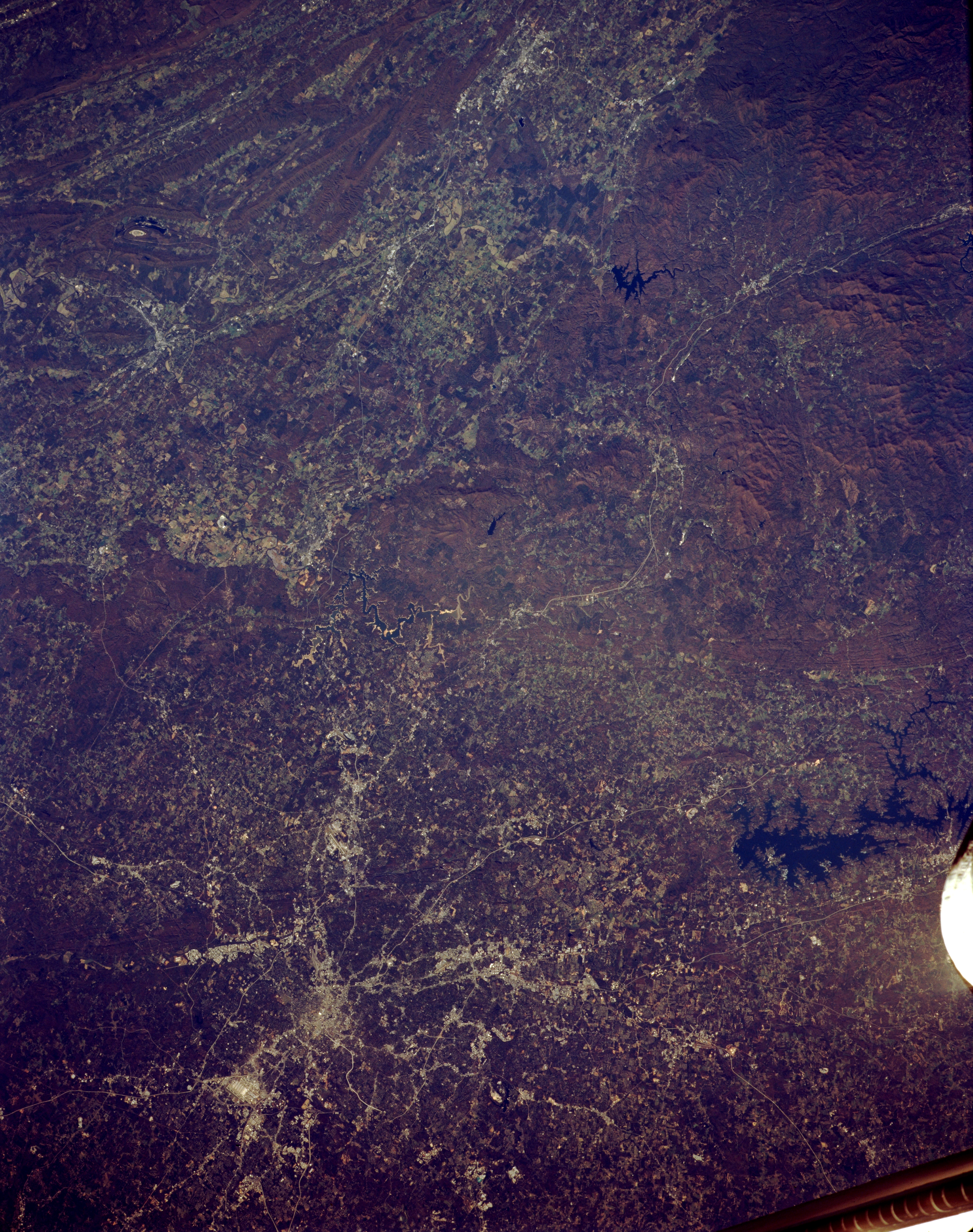
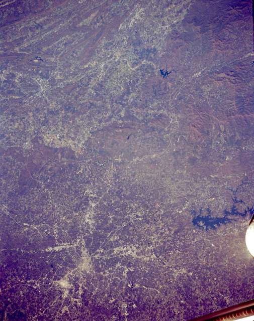
Image Caption: STS066-154-056 Atlanta, Georgia, U.S.A. November 1994
Rapidly developing Atlanta is featured in this synoptic, northwest-looking photograph, which depicts numerous transportation routes radiating from the downtown area. Visible are highly reflective Hartsfield-Atlanta International Airport south of the city and two lakes--irregular-shaped Lake Sidney Lanier to the northeast and smaller Carters Lake to the north. Immediately west of Carters Lake is a north-south-oriented valley between folded ridges (to the west) and the more massive mountains (to the east) of the Appalachian Mountains. Barely discernible north of metropolitan Atlanta is a railroad right-of-way that winds through the valleys of the Blue Ridge Mountains within the Chattahoochee National Forest.
Rapidly developing Atlanta is featured in this synoptic, northwest-looking photograph, which depicts numerous transportation routes radiating from the downtown area. Visible are highly reflective Hartsfield-Atlanta International Airport south of the city and two lakes--irregular-shaped Lake Sidney Lanier to the northeast and smaller Carters Lake to the north. Immediately west of Carters Lake is a north-south-oriented valley between folded ridges (to the west) and the more massive mountains (to the east) of the Appalachian Mountains. Barely discernible north of metropolitan Atlanta is a railroad right-of-way that winds through the valleys of the Blue Ridge Mountains within the Chattahoochee National Forest.
