STS066-152-129
| NASA Photo ID | STS066-152-129 |
| Focal Length | 90mm |
| Date taken | 1994.11.06 |
| Time taken | 17:34:42 GMT |

Cloud masks available for this image:
Spacecraft nadir point: 42.1° N, 89.7° W
Photo center point: 41.5° N, 91.5° W
Photo center point by machine learning:
Photo center point: 41.5° N, 91.5° W
Photo center point by machine learning:
Nadir to Photo Center: West
Spacecraft Altitude: 162 nautical miles (300km)
Country or Geographic Name: | USA-IOWA |
Features: | CEDAR RAPIDS, IOWA CITY |
| Features Found Using Machine Learning: | |
Cloud Cover Percentage: | 5 (1-10)% |
Sun Elevation Angle: | 32° |
Sun Azimuth: | 178° |
Camera: | Linhof |
Focal Length: | 90mm |
Camera Tilt: | 35 degrees |
Format: | 5046: Kodak, natural color positive, Lumiere 100/5046, ASA 100, standard base |
Film Exposure: | Normal |
| Additional Information | |
| Width | Height | Annotated | Cropped | Purpose | Links |
|---|---|---|---|---|---|
| 6144 pixels | 4884 pixels | No | No | Earth From Space collection | Download Image |
| 639 pixels | 508 pixels | No | No | Earth From Space collection | Download Image |
| 640 pixels | 480 pixels | No | No | ISD 1 | Download Image |
Download Packaged File
Download a Google Earth KML for this Image
View photo footprint information
Download a GeoTIFF for this photo
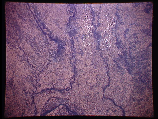
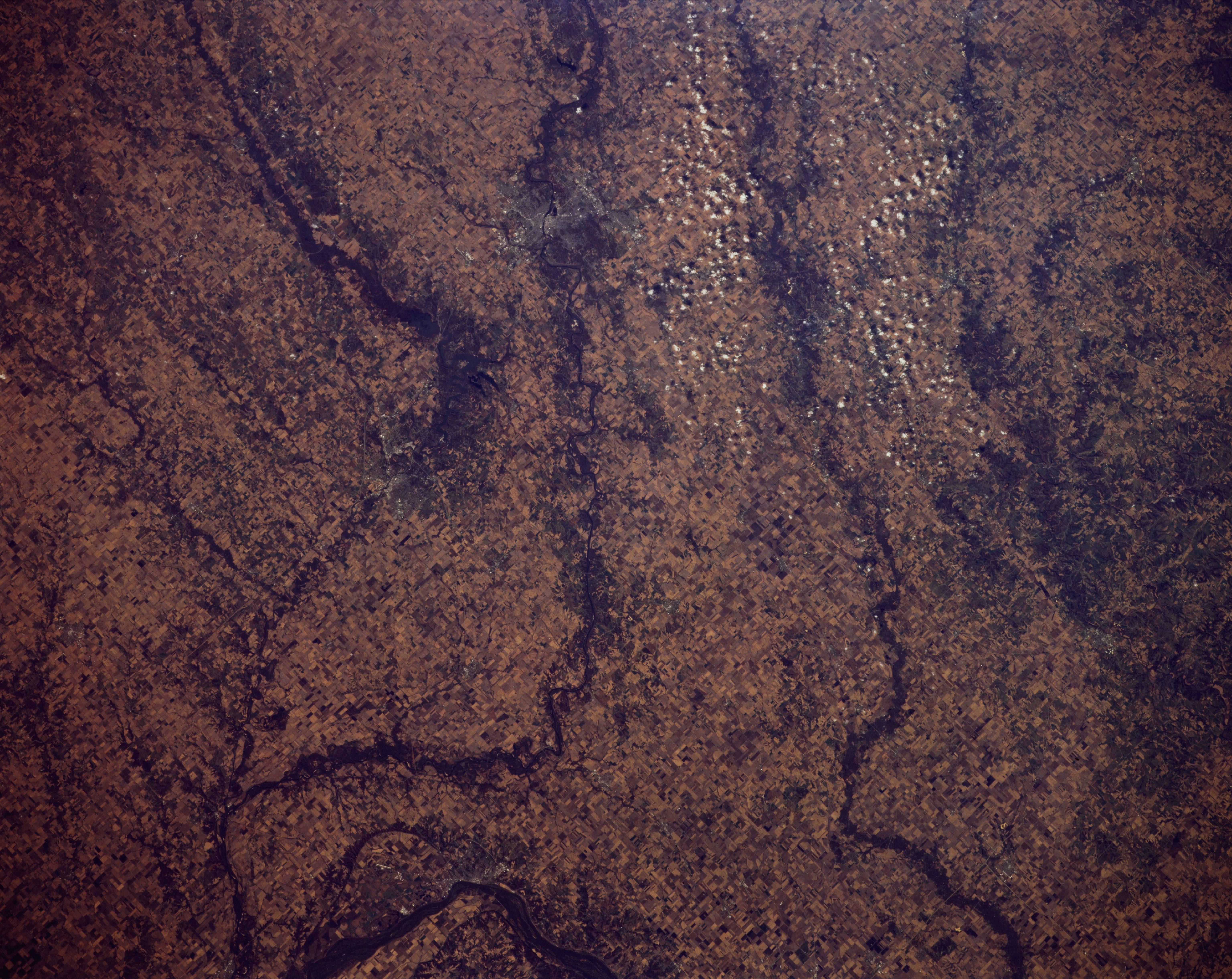
Image Caption: STS066-152-129 East-Central Iowa, U.S.A. November 1994
Gently rolling terrain, agricultural field patterns, and several rivers are apparent in this near-vertical photograph. Discernible are the Mississippi River near Muscatine (left of bottom center), just southwest of which the more southerly Iowa River joins the Cedar River. North of the Cedar River is the Wapsipinicon River.
Gently rolling terrain, agricultural field patterns, and several rivers are apparent in this near-vertical photograph. Discernible are the Mississippi River near Muscatine (left of bottom center), just southwest of which the more southerly Iowa River joins the Cedar River. North of the Cedar River is the Wapsipinicon River.
