STS066-152-128
| NASA Photo ID | STS066-152-128 |
| Focal Length | 90mm |
| Date taken | 1994.11.06 |
| Time taken | 17:34:27 GMT |
Cloud masks available for this image:
Spacecraft nadir point: 41.5° N, 90.6° W
Photo center point: 41.0° N, 91.0° W
Photo center point by machine learning:
Photo center point: 41.0° N, 91.0° W
Photo center point by machine learning:
Nadir to Photo Center: Southwest
Spacecraft Altitude: 162 nautical miles (300km)
Country or Geographic Name: | USA-ILLINOIS |
Features: | QUAD CITIES AREA |
| Features Found Using Machine Learning: | |
Cloud Cover Percentage: | 0 (no clouds present) |
Sun Elevation Angle: | 33° |
Sun Azimuth: | 177° |
Camera: | Linhof |
Focal Length: | 90mm |
Camera Tilt: | 13 degrees |
Format: | 5046: Kodak, natural color positive, Lumiere 100/5046, ASA 100, standard base |
Film Exposure: | Normal |
| Additional Information | |
| Width | Height | Annotated | Cropped | Purpose | Links |
|---|---|---|---|---|---|
| 4000 pixels | 5056 pixels | No | No | Earth From Space collection | Download Image |
| 506 pixels | 640 pixels | No | No | Earth From Space collection | Download Image |
| 640 pixels | 480 pixels | No | No | ISD 1 | Download Image |
Download Packaged File
Download a Google Earth KML for this Image
View photo footprint information
Download a GeoTIFF for this photo
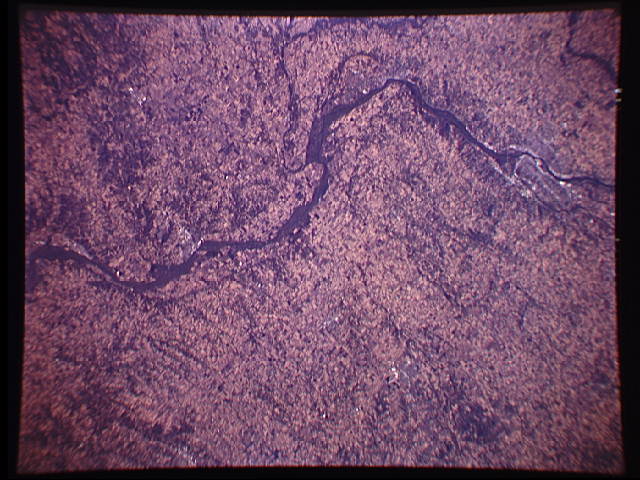
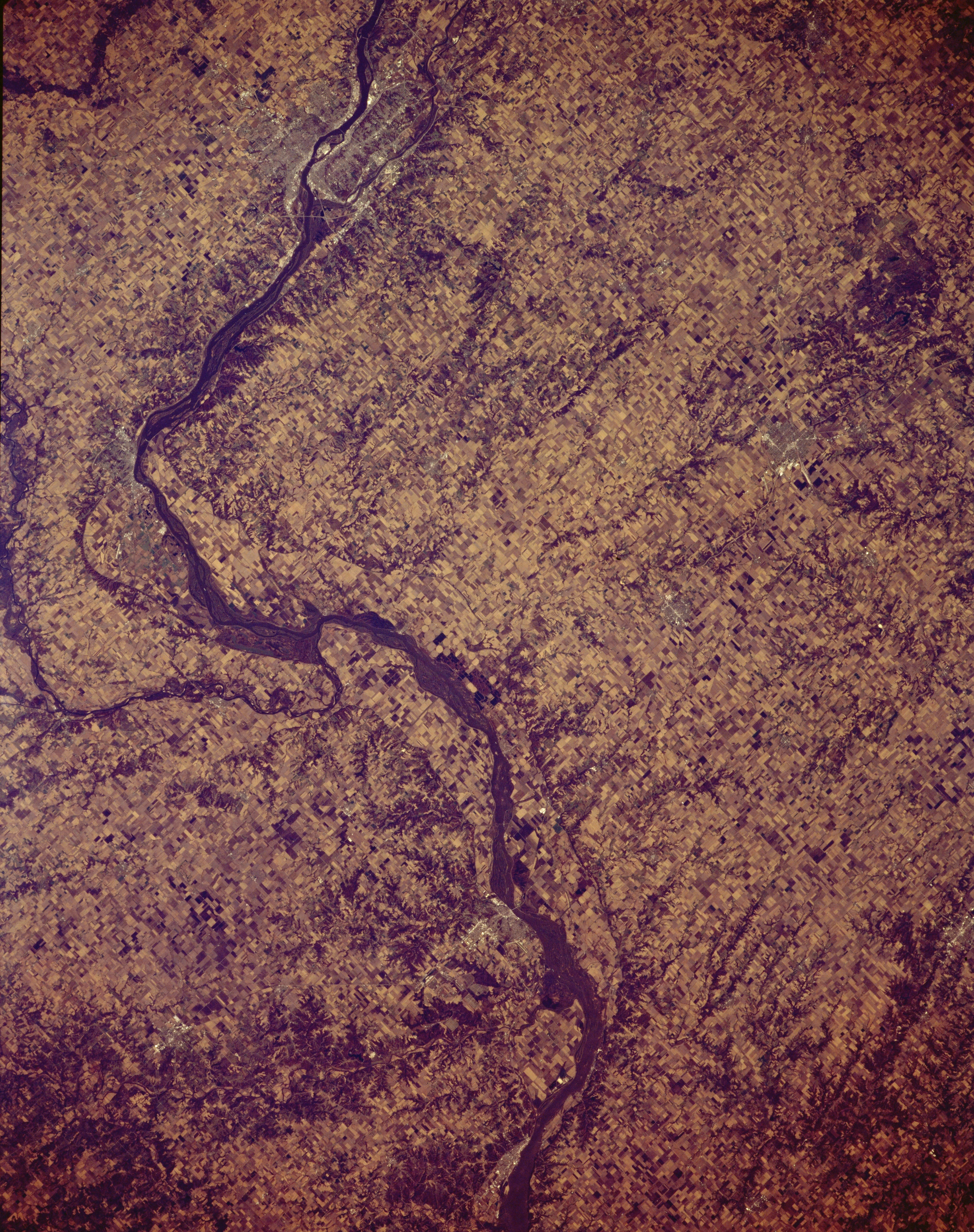
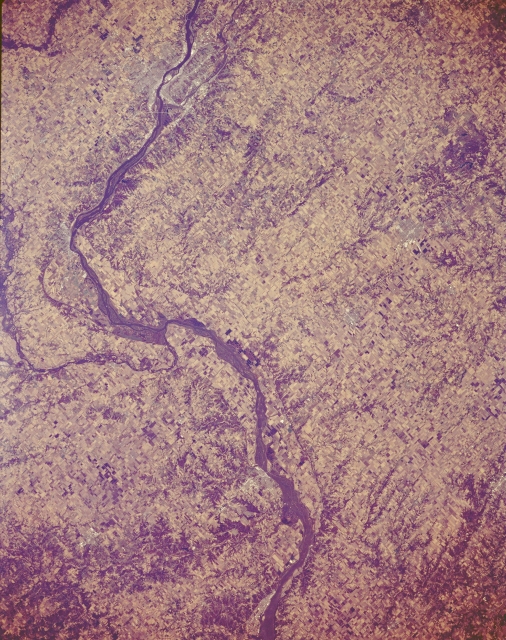
Image Caption: STS066-152-128 Mississippi River, Illinois November 1994
This panoramic northeast looking view show portions of western Illinois, southeastern Iowa, and northeastern Missouri. The Mississippi River enters the scene at the top center of the image (north) near the Quad Cities and traverses the image generally in a southerly direction exiting the scene at the bottom center to the south of Quincy, Illinois. This whole region is a rich grain and livestock area, and is part of the Great Corn Belt Region of the United States. Most of this area of the middle Mississippi River Basin was covered by an extensive mid-continental glacier, which occurred 20000 years ago. The retreating glacier created the landscape of this region that is visible today.
This panoramic northeast looking view show portions of western Illinois, southeastern Iowa, and northeastern Missouri. The Mississippi River enters the scene at the top center of the image (north) near the Quad Cities and traverses the image generally in a southerly direction exiting the scene at the bottom center to the south of Quincy, Illinois. This whole region is a rich grain and livestock area, and is part of the Great Corn Belt Region of the United States. Most of this area of the middle Mississippi River Basin was covered by an extensive mid-continental glacier, which occurred 20000 years ago. The retreating glacier created the landscape of this region that is visible today.
