STS066-121-61

| NASA Photo ID | STS066-121-61 |
| Focal Length | 100mm |
| Date taken | 1994.11.05 |
| Time taken | 20:29:31 GMT |
Resolutions offered for this image:
3899 x 3875 pixels 639 x 636 pixels 5700 x 5900 pixels 500 x 518 pixels 640 x 480 pixels
3899 x 3875 pixels 639 x 636 pixels 5700 x 5900 pixels 500 x 518 pixels 640 x 480 pixels


Cloud masks available for this image:
Spacecraft nadir point: 47.3° N, 119.9° W
Photo center point: 46.0° N, 122.0° W
Photo center point by machine learning:
Photo center point: 46.0° N, 122.0° W
Photo center point by machine learning:
Nadir to Photo Center: Southwest
Spacecraft Altitude: 163 nautical miles (302km)
Country or Geographic Name: | USA-WASHINGTON |
Features: | MT. ST. HELENS, CASCADE RA. |
| Features Found Using Machine Learning: | |
Cloud Cover Percentage: | 5 (1-10)% |
Sun Elevation Angle: | 26° |
Sun Azimuth: | 192° |
Camera: | Hasselblad |
Focal Length: | 100mm |
Camera Tilt: | 42 degrees |
Format: | 5046: Kodak, natural color positive, Lumiere 100/5046, ASA 100, standard base |
Film Exposure: | Normal |
| Additional Information | |
| Width | Height | Annotated | Cropped | Purpose | Links |
|---|---|---|---|---|---|
| 3899 pixels | 3875 pixels | No | No | Earth From Space collection | Download Image |
| 639 pixels | 636 pixels | No | No | Earth From Space collection | Download Image |
| 5700 pixels | 5900 pixels | No | No | Download Image | |
| 500 pixels | 518 pixels | No | No | Download Image | |
| 640 pixels | 480 pixels | No | No | Download Image |
Download Packaged File
Download a Google Earth KML for this Image
View photo footprint information
Download a GeoTIFF for this photo
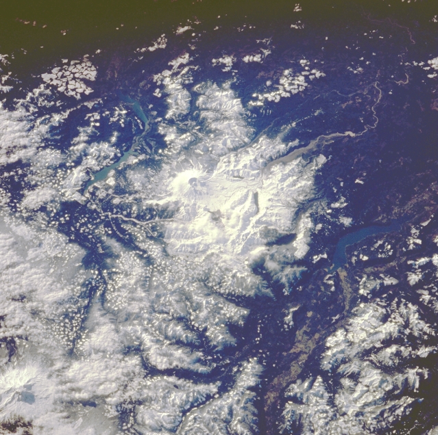
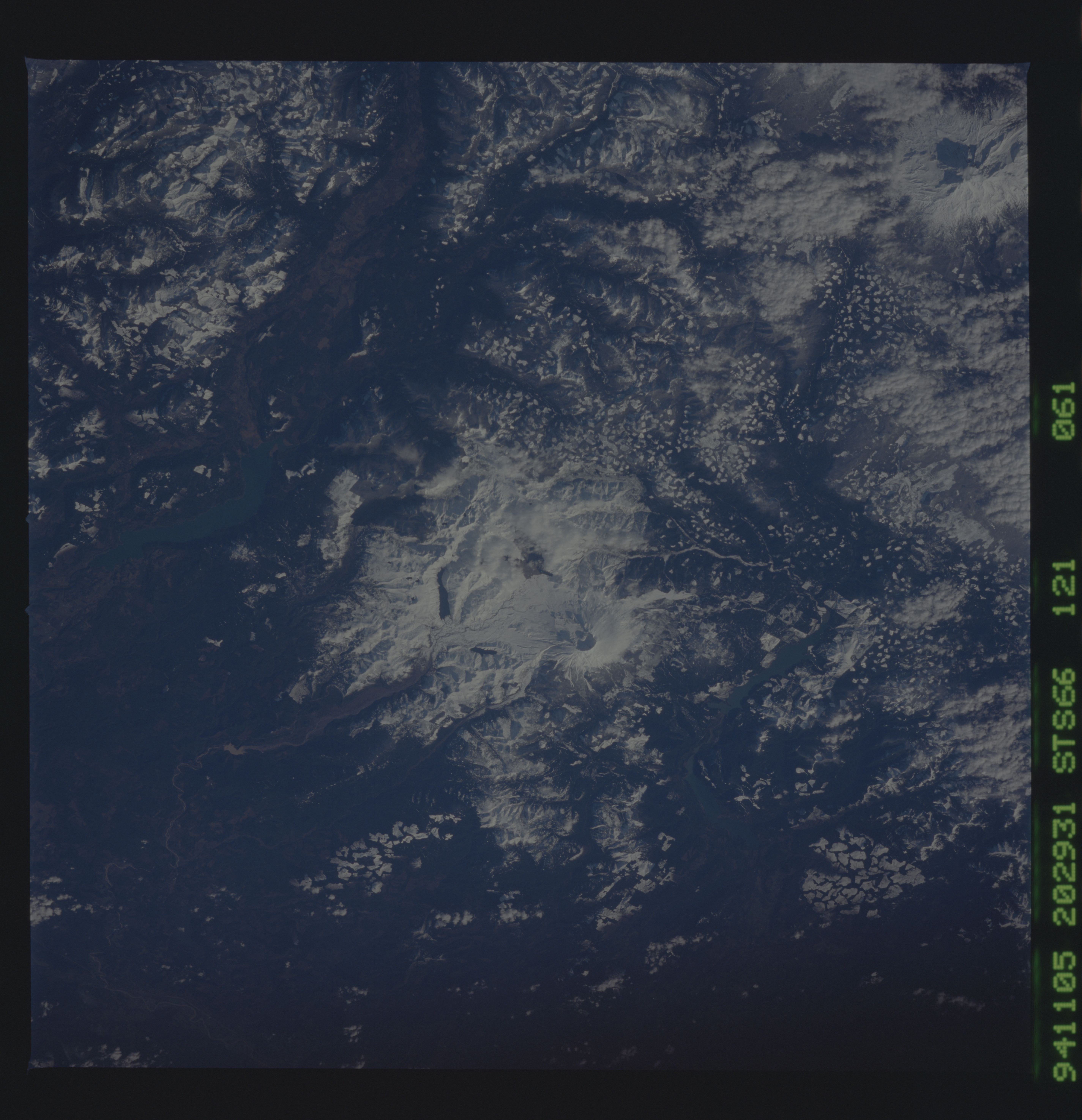
Image Caption: STS066-121-061 Mount Saint Helens, Washington, U.S.A. November 1994
This low-oblique, southwest-looking photograph features Mount Saint Helens Volcano and its blast zone that appears as a bright, snow-covered area void of forest cover. Evident within the caldera is a dome that now reaches a height of almost 1800 feet (549 meters) and does not appear to be growing at this time. The checkered pattern east and southeast of Mount Saint Helens shows areas of clearcutting by lumber companies. Mount Adams Volcano, the second highest peak within the Cascade Range, can be seen at the bottom left of the photograph. (For a description of the Mount Saint Helens eruption of May 18, 1980, see photograph STS-028-088-026.)
This low-oblique, southwest-looking photograph features Mount Saint Helens Volcano and its blast zone that appears as a bright, snow-covered area void of forest cover. Evident within the caldera is a dome that now reaches a height of almost 1800 feet (549 meters) and does not appear to be growing at this time. The checkered pattern east and southeast of Mount Saint Helens shows areas of clearcutting by lumber companies. Mount Adams Volcano, the second highest peak within the Cascade Range, can be seen at the bottom left of the photograph. (For a description of the Mount Saint Helens eruption of May 18, 1980, see photograph STS-028-088-026.)
