STS066-113-33
| NASA Photo ID | STS066-113-33 |
| Focal Length | 250mm |
| Date taken | 1994.11.12 |
| Time taken | 09:11:48 GMT |
Cloud masks available for this image:
Spacecraft nadir point: 40.5° N, 1.9° E
Photo center point: 45.0° N, 7.0° E
Photo center point by machine learning:
Photo center point: 45.0° N, 7.0° E
Photo center point by machine learning:
Nadir to Photo Center: Northeast
Spacecraft Altitude: 156 nautical miles (289km)
Camera: | Hasselblad |
Focal Length: | 250mm |
Camera Tilt: | Low Oblique |
Format: | 5046: Kodak, natural color positive, Lumiere 100/5046, ASA 100, standard base |
Film Exposure: | Under Exposed |
| Additional Information | |
| Width | Height | Annotated | Cropped | Purpose | Links |
|---|---|---|---|---|---|
| 5700 pixels | 5900 pixels | No | No | Download Image | |
| 500 pixels | 518 pixels | No | No | Download Image | |
| 640 pixels | 480 pixels | No | No | Download Image |
Download Packaged File
Download a Google Earth KML for this Image
View photo footprint information
Download a GeoTIFF for this photo
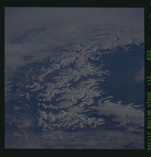
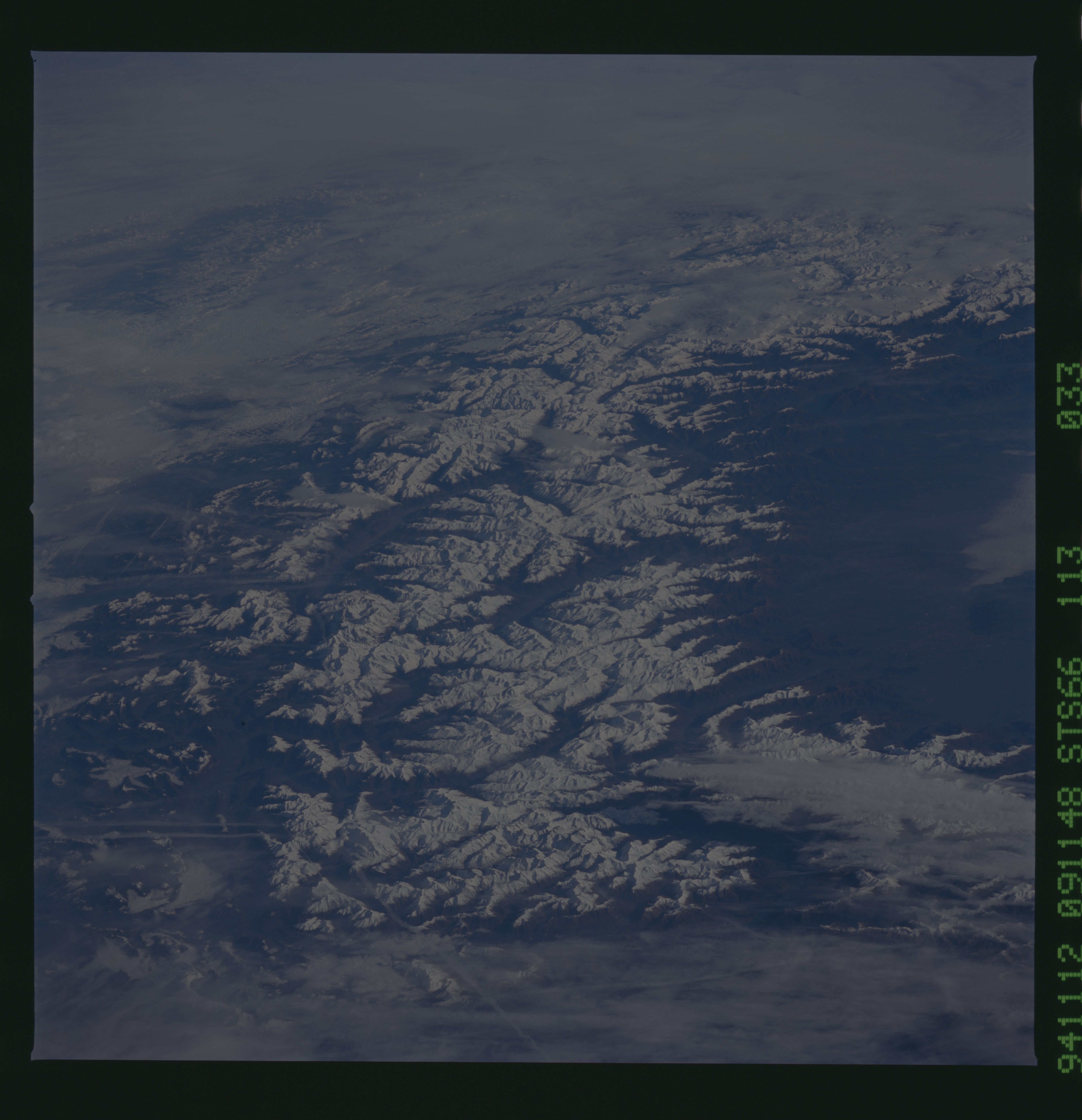
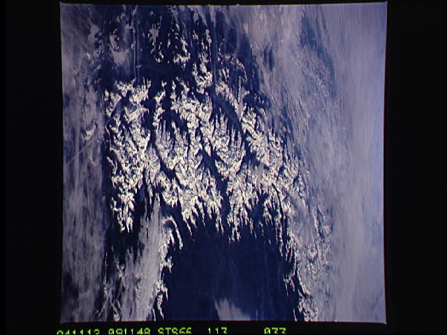
Image Caption: An oblique view looking northeast along the Alps Mountain System of south central Europe. This system forms a wide, curving arc along the borders of northern Italy and adjacent regions of southeast France, Switzerland, and southern West Germany. This view taken by the STS-66 crew in November, 1994, and shows the permanently snowcapped peaks of the Swiss and Pennine Alps. The Rhone River Valley in Switzerland can be seen as curved inverted "L" near the center of the photograph. To the right and below the Rhone River Valley are the Pennine Alps located in northern Italy. The numerous contrails indicate the heavy air traffic in this region of Europe.
