STS066-107-10
| NASA Photo ID | STS066-107-10 |
| Focal Length | 250mm |
| Date taken | 1994.11.05 |
| Time taken | 06:51:56 GMT |
Cloud masks available for this image:
Spacecraft nadir point: 39.4° N, 75.4° E
Photo center point: 39.5° N, 74.5° E
Photo center point by machine learning:
Photo center point: 39.5° N, 74.5° E
Photo center point by machine learning:
Nadir to Photo Center: West
Spacecraft Altitude: 164 nautical miles (304km)
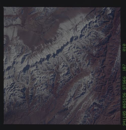
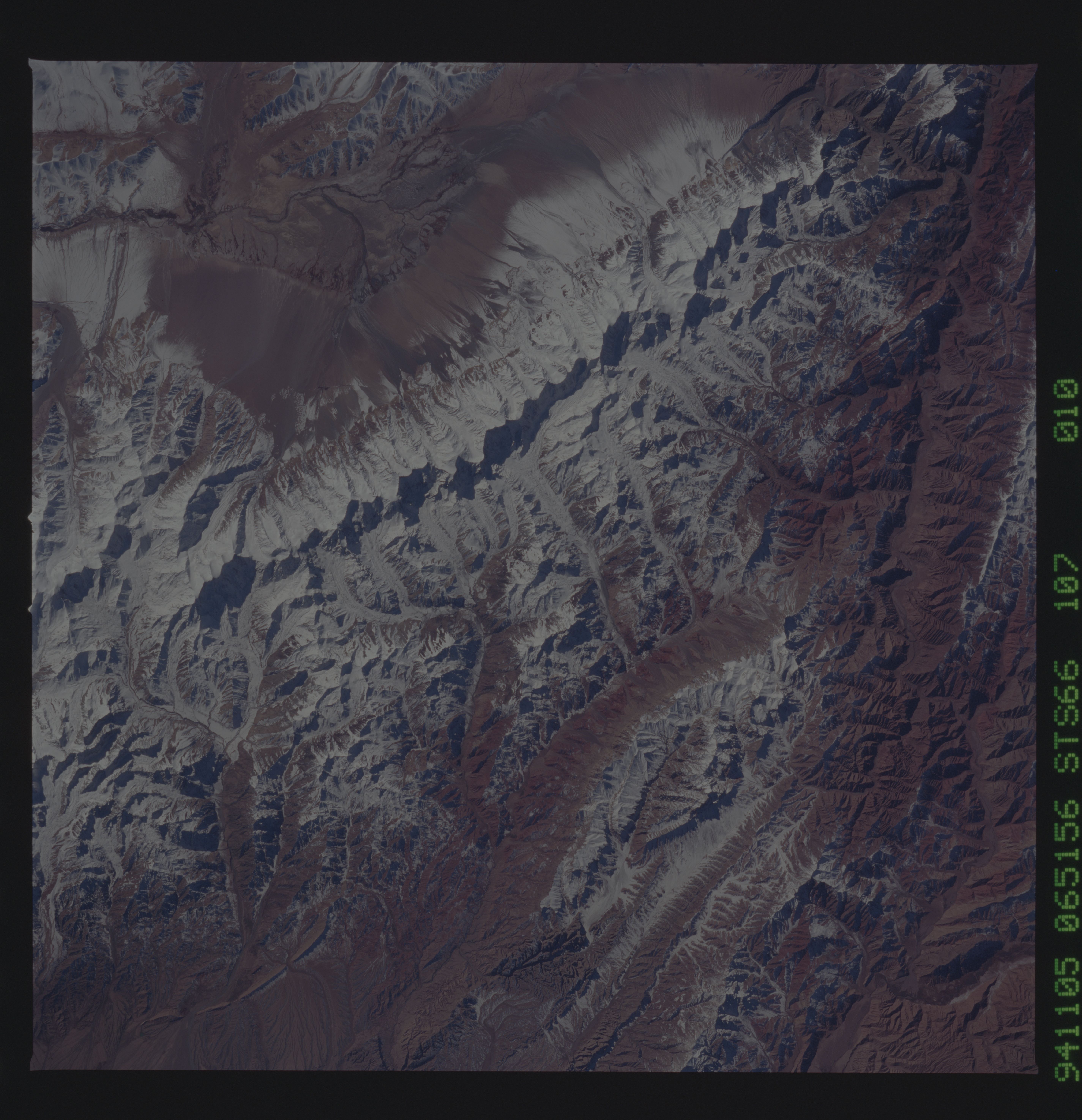
Country or Geographic Name: | CHINA |
Features: | MOUNTAIN RIDGE, DRAINAGE |
| Features Found Using Machine Learning: | |
Cloud Cover Percentage: | 0 (no clouds present) |
Sun Elevation Angle: | 35° |
Sun Azimuth: | 183° |
Camera: | Hasselblad |
Focal Length: | 250mm |
Camera Tilt: | 18 degrees |
Format: | 5046: Kodak, natural color positive, Lumiere 100/5046, ASA 100, standard base |
Film Exposure: | Normal |
| Additional Information | |
| Width | Height | Annotated | Cropped | Purpose | Links |
|---|---|---|---|---|---|
| 5700 pixels | 5900 pixels | No | No | Download Image | |
| 500 pixels | 518 pixels | No | No | Download Image | |
| 640 pixels | 480 pixels | No | No | Download Image |
Download Packaged File
Download a Google Earth KML for this Image
View photo footprint information
Download a GeoTIFF for this photo
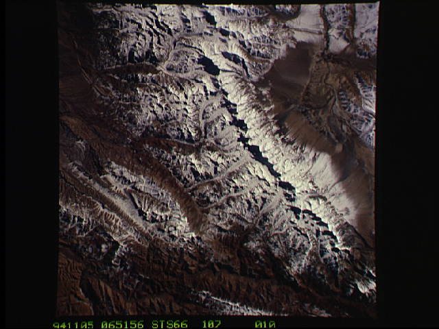
Image Caption: The northwest-southeast trending, snow-covered, linear mountain range is the King Ata Tag Mountain, located in extreme western most China. Highest peaks are just over 20,100 feet above sea level. The town or village of Muji is located in the largest river valley that is south of this range of mountains. This area includes part of the country of Tajikistan. The center point of the photo is approximately 39.30 degrees north and 74.30 degrees easth.
