STS065-84-14
| NASA Photo ID | STS065-84-14 |
| Focal Length | 250mm |
| Date taken | 1994.07.18 |
| Time taken | 08:55:01 GMT |
Cloud masks available for this image:
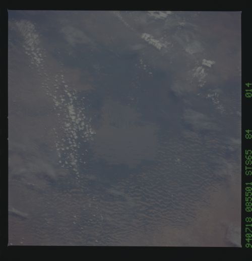
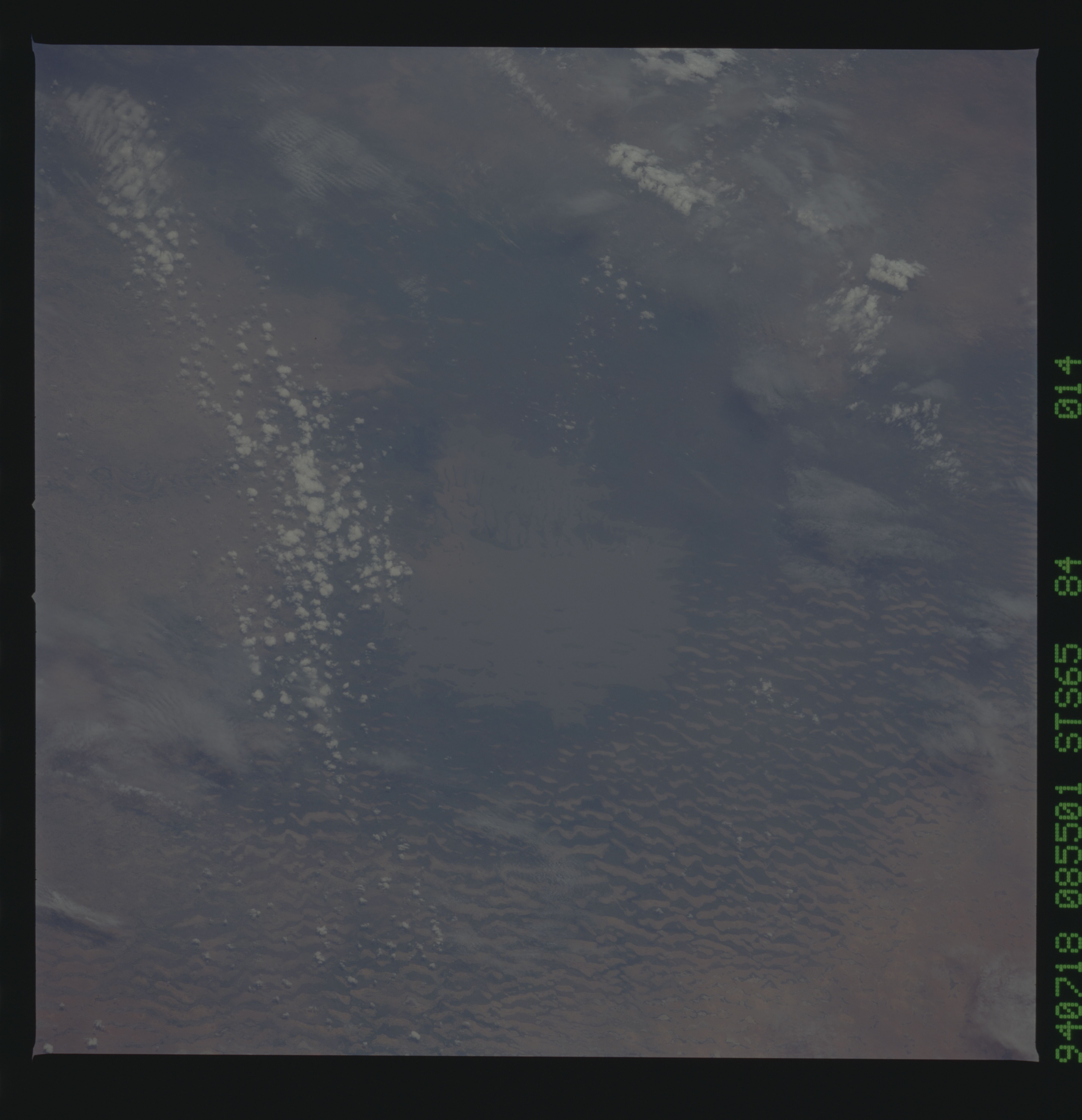
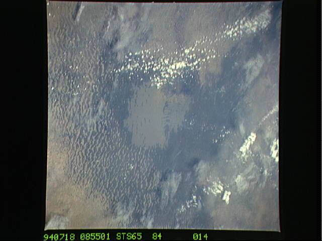
Spacecraft nadir point: 14.2° N, 18.1° E
Photo center point: 12.5° N, 19.5° E
Photo center point by machine learning:
Photo center point: 12.5° N, 19.5° E
Photo center point by machine learning:
Nadir to Photo Center: Southeast
Spacecraft Altitude: 160 nautical miles (296km)
Country or Geographic Name: | CHAD |
Features: | GUERA MASSIF |
| Features Found Using Machine Learning: | |
Cloud Cover Percentage: | 10 (1-10)% |
Sun Elevation Angle: | 61° |
Sun Azimuth: | 72° |
Camera: | Hasselblad |
Focal Length: | 250mm |
Camera Tilt: | 39 degrees |
Format: | 5048: Kodak, natural color positive, Lumiere 100x/5048, ASA 100x, standard base |
Film Exposure: | Normal |
| Additional Information | |
| Width | Height | Annotated | Cropped | Purpose | Links |
|---|---|---|---|---|---|
| 5700 pixels | 5900 pixels | No | No | Download Image | |
| 500 pixels | 518 pixels | No | No | Download Image | |
| 640 pixels | 480 pixels | No | No | Download Image |
Download Packaged File
Download a Google Earth KML for this Image
View photo footprint information
Download a GeoTIFF for this photo
Image Caption: STS-65 Earth observation taken aboard Columbia, Orbiter Vehicle (OV) 102, shows Lake Chad, Africa. This is another long term ecological monitoring site for NASA scientists. Lake Chad was first photographed from space in 1965. A 25-year length-of-record data set exists for this environmentally important area. A number of these scenes have been digitized, rectified, classified and results show that the lake area has been shrinking and only 15% to 20% of the surface water is visible on space images. NASA's objective in monitoring this lake is to document the intra- and interannual areal changes of the largest standing water body in the Sahelian biome of North Africa. These areal changes are an indicator of the presence or absence of drought across the arguably overpopulated, overgrazed, and over biological carrying capacity limits nations of the Sahel.
