STS065-81-7
| NASA Photo ID | STS065-81-7 |
| Focal Length | 250mm |
| Date taken | 1994.07.17 |
| Time taken | 04:30:46 GMT |
Cloud masks available for this image:
Spacecraft nadir point: 7.7° S, 136.1° E
Photo center point: 11.5° S, 131.0° E
Photo center point by machine learning:
Photo center point: 11.5° S, 131.0° E
Photo center point by machine learning:
Nadir to Photo Center: Southwest
Spacecraft Altitude: 162 nautical miles (300km)
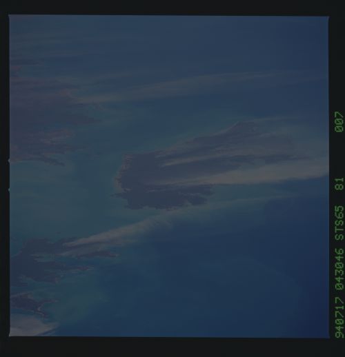
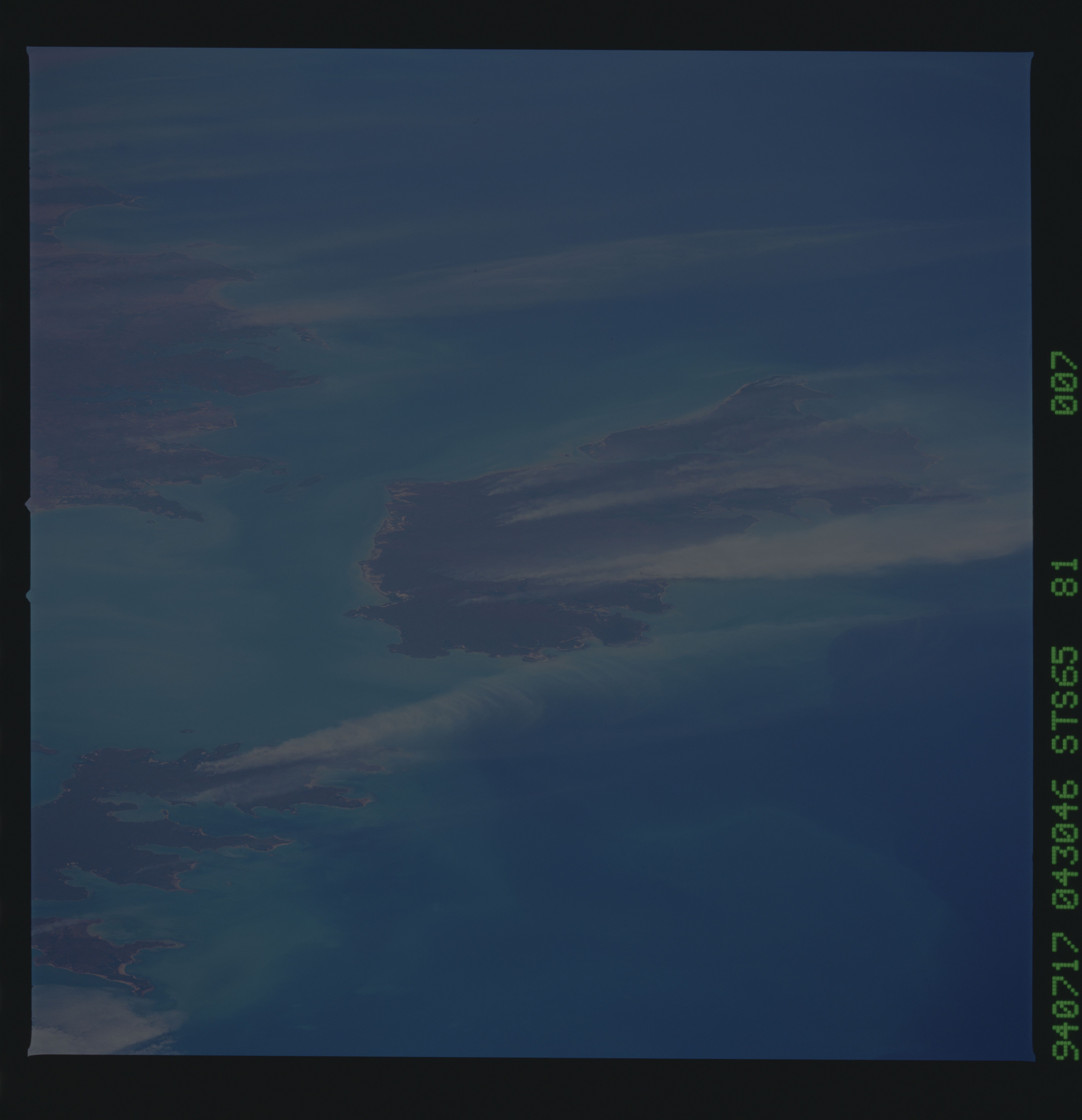
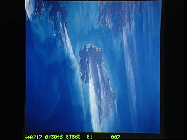
Country or Geographic Name: | AUSTRALIA-NT |
Features: | MELVILLE I., SMOKE PLUMES |
| Features Found Using Machine Learning: | |
Cloud Cover Percentage: | 5 (1-10)% |
Sun Elevation Angle: | 54° |
Sun Azimuth: | 323° |
Camera: | Hasselblad |
Focal Length: | 250mm |
Camera Tilt: | Low Oblique |
Format: | 5048: Kodak, natural color positive, Lumiere 100x/5048, ASA 100x, standard base |
Film Exposure: | Normal |
| Additional Information | |
| Width | Height | Annotated | Cropped | Purpose | Links |
|---|---|---|---|---|---|
| 5700 pixels | 5900 pixels | No | No | Download Image | |
| 500 pixels | 518 pixels | No | No | Download Image | |
| 640 pixels | 480 pixels | No | No | Download Image |
Download Packaged File
Download a Google Earth KML for this Image
View photo footprint information
Download a GeoTIFF for this photo
Image Caption: STS-65 Earth observation taken aboard Columbia, Orbiter Vehicle (OV) 102, shows late winter burning in northern Australia and the extreme northern coastal area that includes the Cobourg Peninsula, as well as Melville and Bathurst Islands. These fires were probably set intentionally to renew pasture under open canopy woodland. The very dark lowland areas on Melville Island represent mangrove woodland. In contrast to some other tropical regions (for example Madagascar and Indonesia), no soil erosion (sediment plumes) is visible in this photograph.
