STS065-100-11
| NASA Photo ID | STS065-100-11 |
| Focal Length | 250mm |
| Date taken | 1994.07.__ |
| Time taken | GMT |
Cloud masks available for this image:
Spacecraft nadir point:
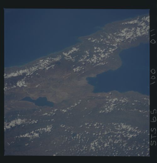
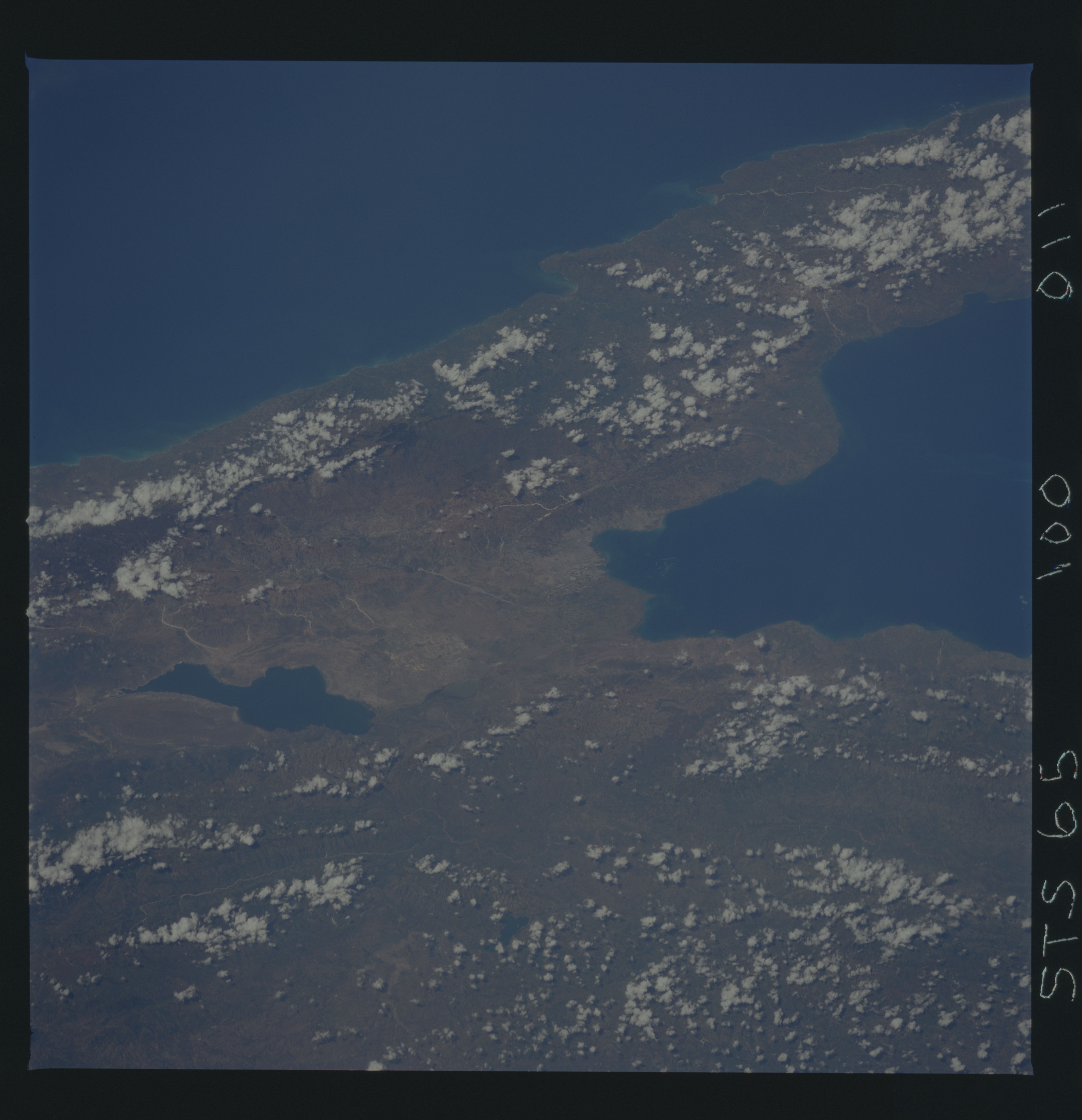
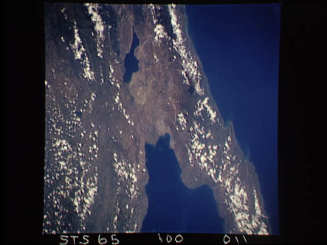
Photo center point: 18.5° N, 72.0° W
Photo center point by machine learning:
Photo center point: 18.5° N, 72.0° W
Photo center point by machine learning:
Nadir to Photo Center:
Spacecraft Altitude: nautical miles (0km)
Country or Geographic Name: | HAITI |
Features: | PORT-AU-PRINCE |
| Features Found Using Machine Learning: | |
Cloud Cover Percentage: | 15 (11-25)% |
Sun Elevation Angle: | ° |
Sun Azimuth: | ° |
Camera: | Hasselblad |
Focal Length: | 250mm |
Camera Tilt: | Low Oblique |
Format: | 5048: Kodak, natural color positive, Lumiere 100x/5048, ASA 100x, standard base |
Film Exposure: | Normal |
| Additional Information | |
| Width | Height | Annotated | Cropped | Purpose | Links |
|---|---|---|---|---|---|
| 5700 pixels | 5900 pixels | No | No | Download Image | |
| 500 pixels | 518 pixels | No | No | Download Image | |
| 640 pixels | 480 pixels | No | No | Download Image |
Download Packaged File
Download a Google Earth KML for this Image
View photo footprint information
Download a GeoTIFF for this photo
Image Caption: STS-65 Earth observation taken aboard Columbia, Orbiter Vehicle (OV) 102, is of Port-Au-Prince, Haiti. This view, centered at approximately 18.5 degrees north and 72.5 degrees west, shows the location of the city of Port-Au-Prince. It is located at the head of Port-Au-Prince Bay in a valley. The Eastern edge of Saumatre Lake, visible in the photograph, forms the boundary with the Dominican Republic. The Haitian Republic occupies the western portion of the Island of Hispaniola.
