STS064-89-47
| NASA Photo ID | STS064-89-47 |
| Focal Length | 250mm |
| Date taken | 1994.09.14 |
| Time taken | 22:03:54 GMT |
Resolutions offered for this image:
3904 x 3904 pixels 639 x 639 pixels 5700 x 5900 pixels 500 x 518 pixels 640 x 480 pixels
3904 x 3904 pixels 639 x 639 pixels 5700 x 5900 pixels 500 x 518 pixels 640 x 480 pixels
Cloud masks available for this image:
Spacecraft nadir point: 35.6° N, 96.0° W
Photo center point: 36.0° N, 96.0° W
Photo center point by machine learning:
Photo center point: 36.0° N, 96.0° W
Photo center point by machine learning:
Nadir to Photo Center: North
Spacecraft Altitude: 140 nautical miles (259km)
Country or Geographic Name: | USA-OKLAHOMA |
Features: | TULSA, SAPULPA, ARKANSAS R |
| Features Found Using Machine Learning: | |
Cloud Cover Percentage: | 5 (1-10)% |
Sun Elevation Angle: | 29° |
Sun Azimuth: | 252° |
Camera: | Hasselblad |
Focal Length: | 250mm |
Camera Tilt: | 10 degrees |
Format: | 5046: Kodak, natural color positive, Lumiere 100/5046, ASA 100, standard base |
Film Exposure: | Normal |
| Additional Information | |
| Width | Height | Annotated | Cropped | Purpose | Links |
|---|---|---|---|---|---|
| 3904 pixels | 3904 pixels | No | No | Earth From Space collection | Download Image |
| 639 pixels | 639 pixels | No | No | Earth From Space collection | Download Image |
| 5700 pixels | 5900 pixels | No | No | Download Image | |
| 500 pixels | 518 pixels | No | No | Download Image | |
| 640 pixels | 480 pixels | No | No | Download Image |
Download Packaged File
Download a Google Earth KML for this Image
View photo footprint information
Download a GeoTIFF for this photo
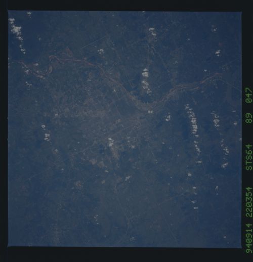
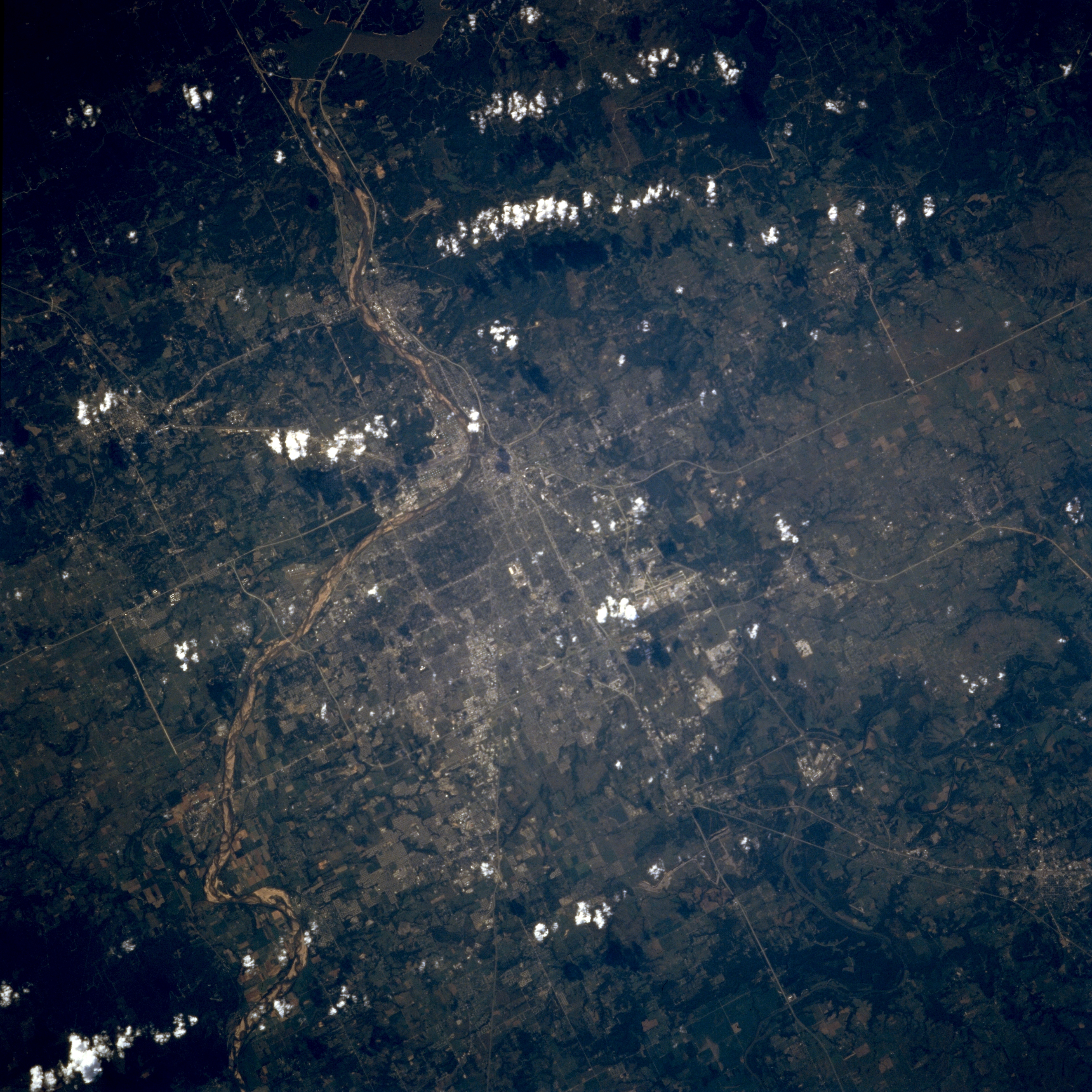
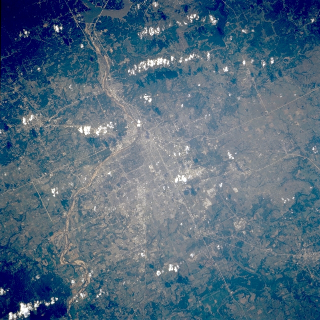
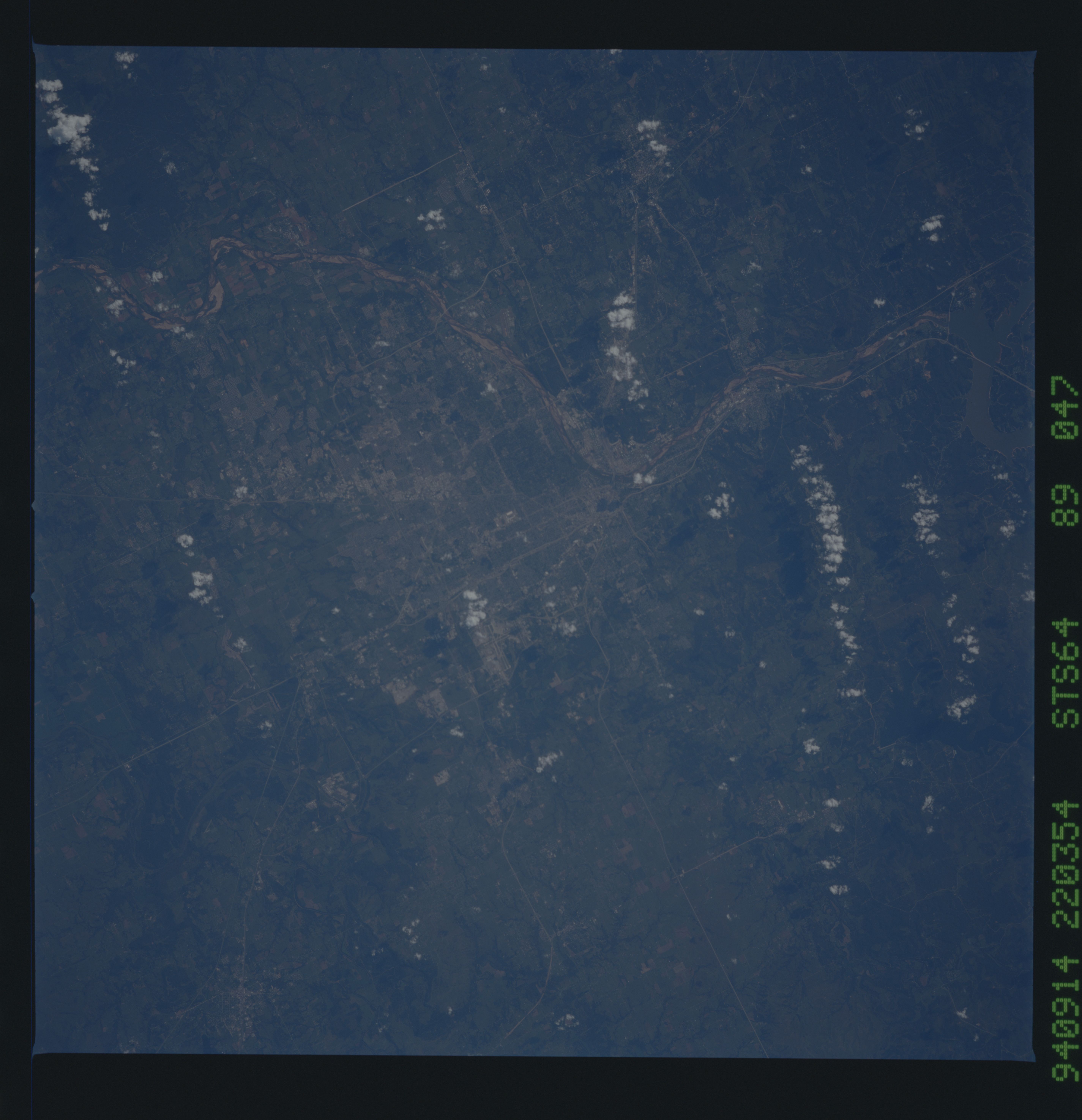
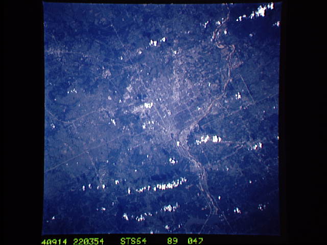
Image Caption: STS064-089-047 Tulsa and Arkansas River, Oklahoma, U.S.A. September 1994
Visible in this west-northwest-looking, low-oblique photograph is Tulsa, settled in 1832 as part of a Creek Indian village and now Oklahoma's second largest city. Located mostly north of the southeast-flowing Arkansas River, Tulsa is a major financial, commercial, and transportation center of a major oil producing region. Other products include aircraft and aircraft components, electronic components, oil-field equipment, machinery, cement, glass, canned goods, gas and oil wells, oil refineries, and coal mines. With the opening of the McClellan-Kerr Waterway in 1971, a 440-mile (708-kilometer) system linking Tulsa with the Mississippi River and the Gulf of Mexico, Tulsa became an inland port.
Visible in this west-northwest-looking, low-oblique photograph is Tulsa, settled in 1832 as part of a Creek Indian village and now Oklahoma's second largest city. Located mostly north of the southeast-flowing Arkansas River, Tulsa is a major financial, commercial, and transportation center of a major oil producing region. Other products include aircraft and aircraft components, electronic components, oil-field equipment, machinery, cement, glass, canned goods, gas and oil wells, oil refineries, and coal mines. With the opening of the McClellan-Kerr Waterway in 1971, a 440-mile (708-kilometer) system linking Tulsa with the Mississippi River and the Gulf of Mexico, Tulsa became an inland port.
