STS064-216-86
| NASA Photo ID | STS064-216-86 |
| Focal Length | 250mm |
| Date taken | 1994.09.18 |
| Time taken | 19:52:49 GMT |
Resolutions offered for this image:
4032 x 4000 pixels 640 x 634 pixels 5700 x 5900 pixels 500 x 518 pixels 640 x 480 pixels
4032 x 4000 pixels 640 x 634 pixels 5700 x 5900 pixels 500 x 518 pixels 640 x 480 pixels


Cloud masks available for this image:
Spacecraft nadir point: 30.6° N, 90.7° W
Photo center point: 30.5° N, 91.0° W
Photo center point by machine learning:
Photo center point: 30.5° N, 91.0° W
Photo center point by machine learning:
Nadir to Photo Center: West
Spacecraft Altitude: 129 nautical miles (239km)
Country or Geographic Name: | USA-LOUISIANA |
Features: | BATON ROUGE, MISS. RIVER |
| Features Found Using Machine Learning: | |
Cloud Cover Percentage: | 10 (1-10)% |
Sun Elevation Angle: | 50° |
Sun Azimuth: | 229° |
Camera: | Hasselblad |
Focal Length: | 250mm |
Camera Tilt: | 8 degrees |
Format: | 5048: Kodak, natural color positive, Lumiere 100x/5048, ASA 100x, standard base |
Film Exposure: | Normal |
| Additional Information | |
| Width | Height | Annotated | Cropped | Purpose | Links |
|---|---|---|---|---|---|
| 4032 pixels | 4000 pixels | No | No | Earth From Space collection | Download Image |
| 640 pixels | 634 pixels | No | No | Earth From Space collection | Download Image |
| 5700 pixels | 5900 pixels | No | No | Download Image | |
| 500 pixels | 518 pixels | No | No | Download Image | |
| 640 pixels | 480 pixels | No | No | Download Image |
Download Packaged File
Download a Google Earth KML for this Image
View photo footprint information
Download a GeoTIFF for this photo
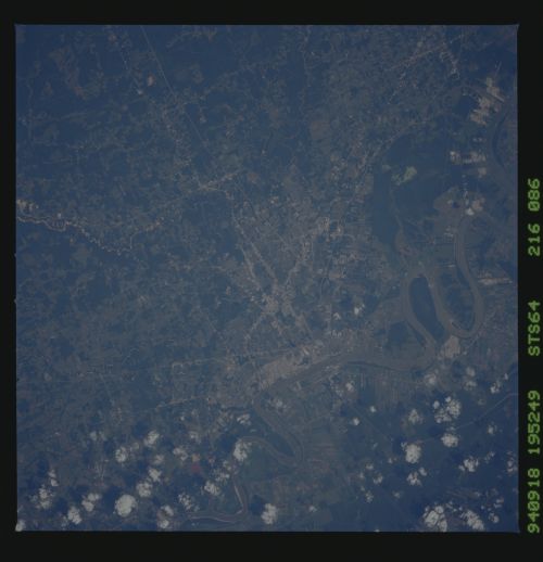
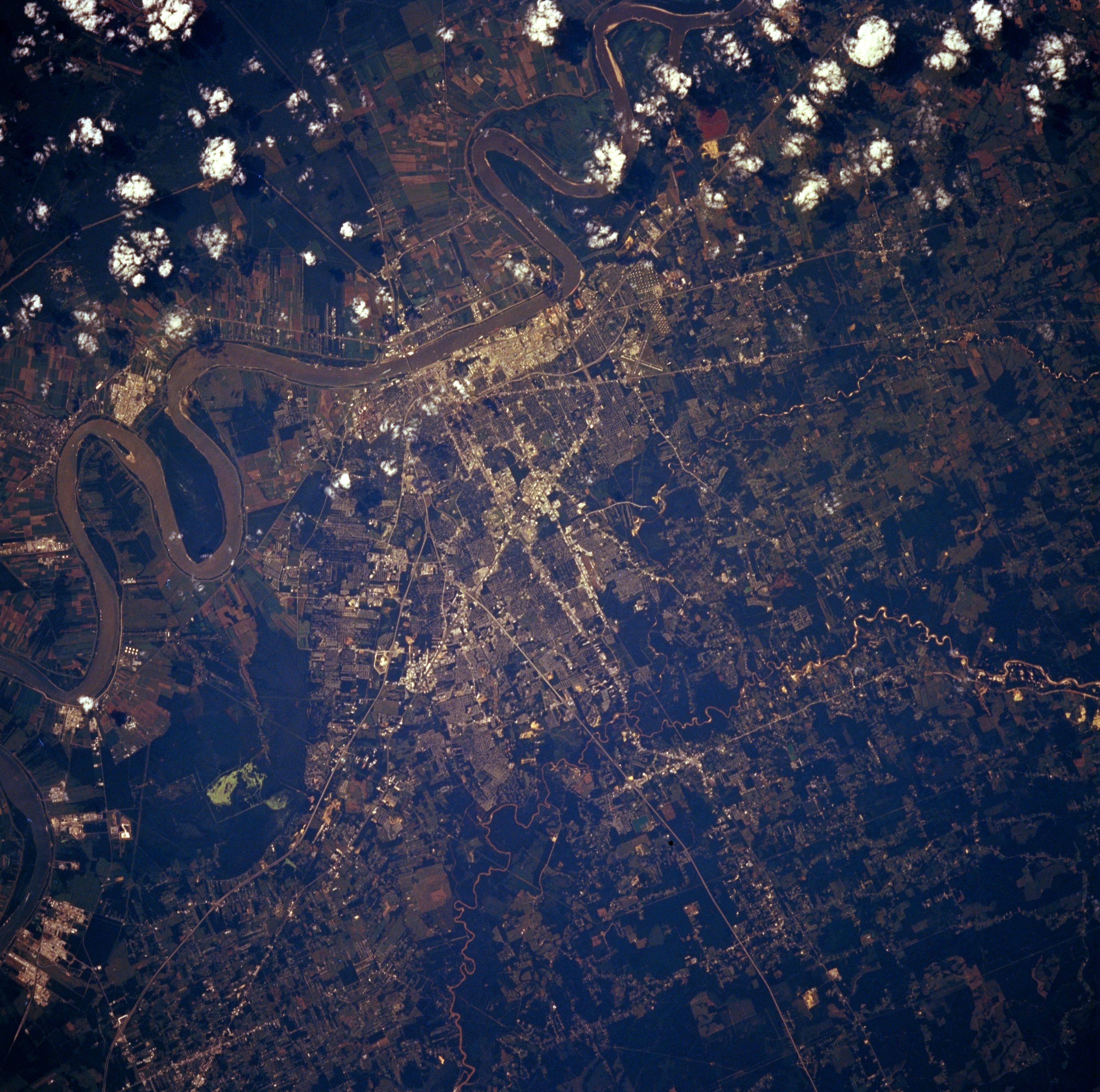
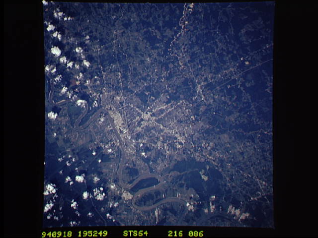
Image Caption: STS064-216-086 Baton Rouge, Louisiana, U.S.A. September 1994
Baton Rouge, the capital of Louisiana, is situated on the eastern bank of the Mississippi River (near center of photograph). Discernible are many streets and highways throughout the metropolitan area and Interstate Highway 10, which connects Baton Rouge and Slidell. The highly reflective surfaces along the Mississippi River are petroleum processing facilities. Narrow "long lots" radiating from the Mississippi River illustrate French influence regarding the ownership of riverfront property. The smaller Amite River is visible east of Baton Rouge. Darker, uniform areas are dense stands of vegetation, primarily forests.
Baton Rouge, the capital of Louisiana, is situated on the eastern bank of the Mississippi River (near center of photograph). Discernible are many streets and highways throughout the metropolitan area and Interstate Highway 10, which connects Baton Rouge and Slidell. The highly reflective surfaces along the Mississippi River are petroleum processing facilities. Narrow "long lots" radiating from the Mississippi River illustrate French influence regarding the ownership of riverfront property. The smaller Amite River is visible east of Baton Rouge. Darker, uniform areas are dense stands of vegetation, primarily forests.
