STS062-98-71

| NASA Photo ID | STS062-98-71 |
| Focal Length | 100mm |
| Date taken | 1994.03.06 |
| Time taken | 14:15:47 GMT |
Resolutions offered for this image:
3904 x 3904 pixels 639 x 639 pixels 5700 x 5900 pixels 500 x 518 pixels 640 x 480 pixels
3904 x 3904 pixels 639 x 639 pixels 5700 x 5900 pixels 500 x 518 pixels 640 x 480 pixels
Cloud masks available for this image:
Spacecraft nadir point: 36.2° N, 78.5° W
Photo center point: 36.0° N, 79.0° W
Photo center point by machine learning:
Photo center point: 36.0° N, 79.0° W
Photo center point by machine learning:
Nadir to Photo Center: West
Spacecraft Altitude: 161 nautical miles (298km)
Country or Geographic Name: | USA-NORTH CAROLINA |
Features: | DURHAM, RALEIGH, AGRICULTURE |
| Features Found Using Machine Learning: | |
Cloud Cover Percentage: | 0 (no clouds present) |
Sun Elevation Angle: | 29° |
Sun Azimuth: | 123° |
Camera: | Hasselblad |
Focal Length: | 100mm |
Camera Tilt: | 11 degrees |
Format: | 5048: Kodak, natural color positive, Lumiere 100x/5048, ASA 100x, standard base |
Film Exposure: | Normal |
| Additional Information | |
| Width | Height | Annotated | Cropped | Purpose | Links |
|---|---|---|---|---|---|
| 3904 pixels | 3904 pixels | No | No | Earth From Space collection | Download Image |
| 639 pixels | 639 pixels | No | No | Earth From Space collection | Download Image |
| 5700 pixels | 5900 pixels | No | No | Download Image | |
| 500 pixels | 518 pixels | No | No | Download Image | |
| 640 pixels | 480 pixels | No | No | Download Image |
Download Packaged File
Download a Google Earth KML for this Image
View photo footprint information
Download a GeoTIFF for this photo
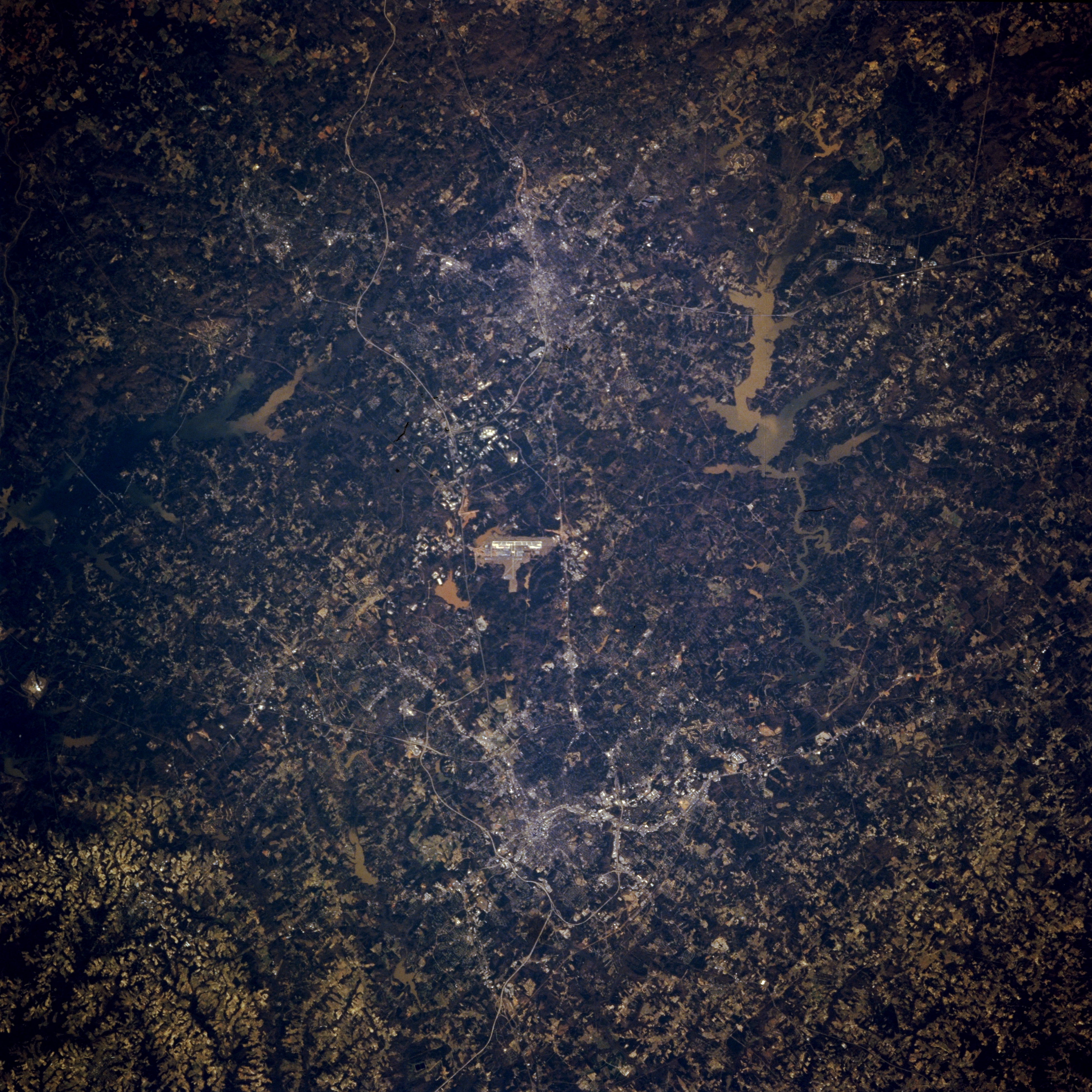
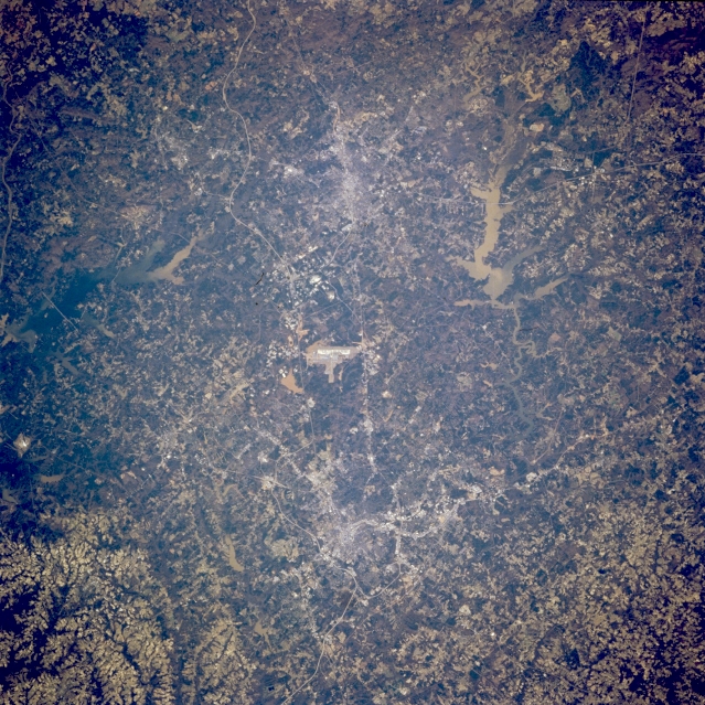
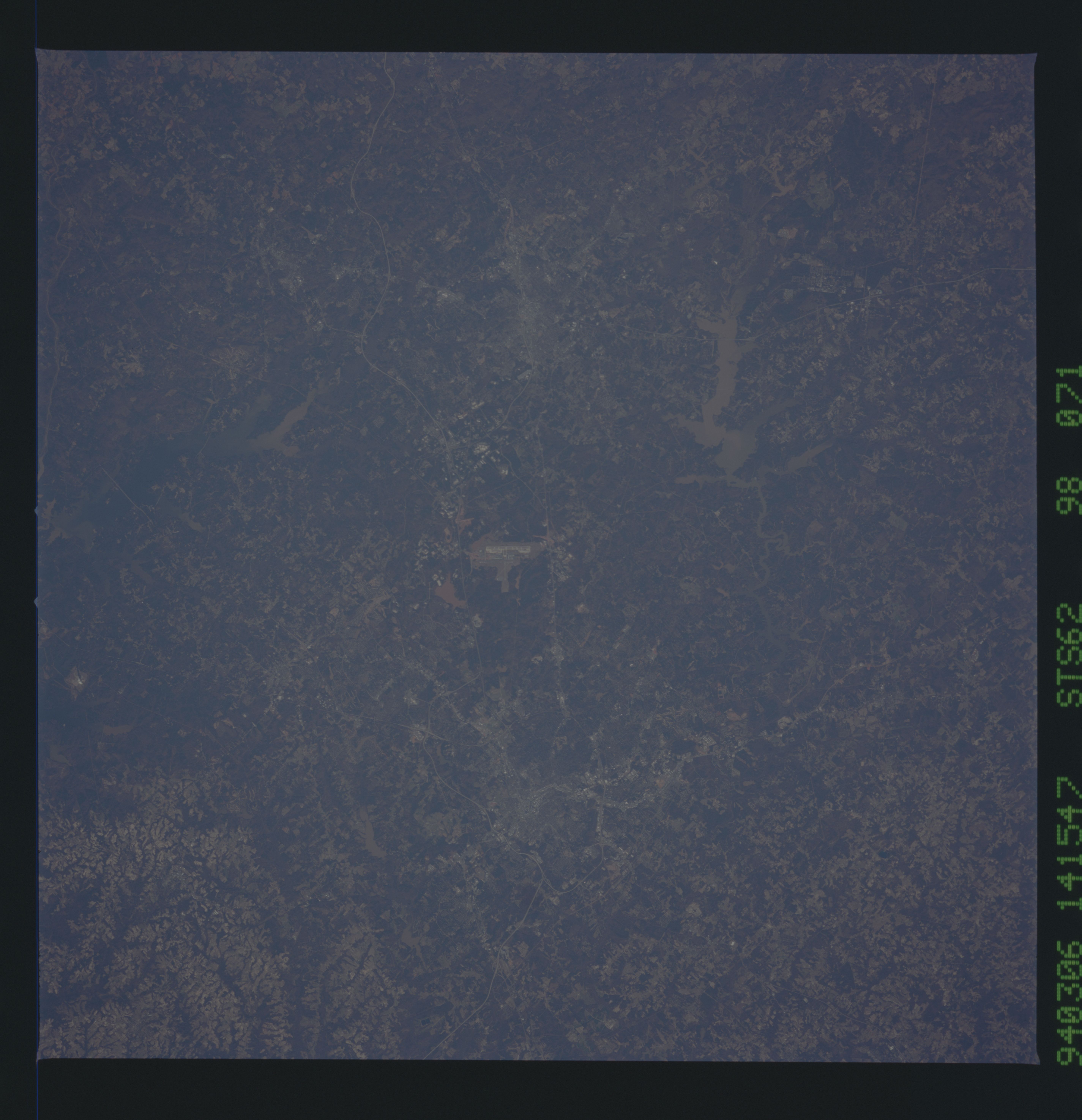
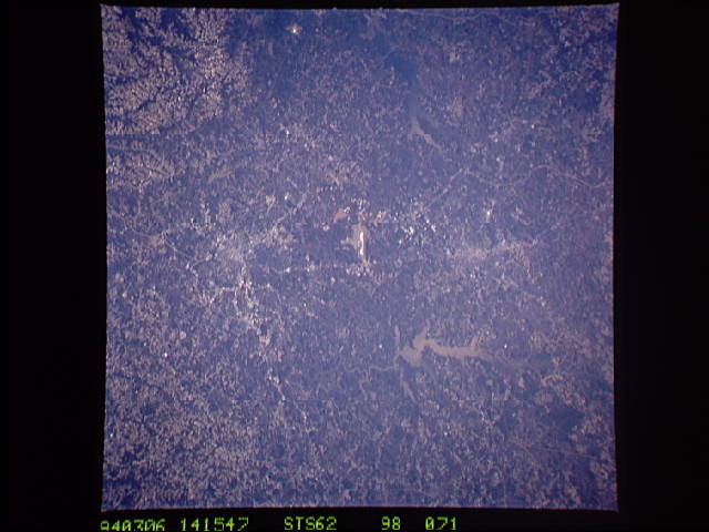
Image Caption: STS062-098-071 Raleigh-Durham Area, North Carolina, U.S.A. March 1994
Although the general quality of this image lacks definition in terms of discriminating some individual features, the metropolitan area of Raleigh (bottom center) and Durham (top center) can be discerned by their concentrated, highly reflective downtown areas. The straight linear feature connecting Raleigh and Durham is U. S. Highway 70. The winding thin line south-southwest of Durham is Interstate Highway 40. The Raleigh-Durham International Airport can be identified as the bright, linear feature, located midway between these cities (center of picture). The light colored, muddy looking lake northeast of Durham is Falls Lake Reservoir and the darker colored reservoir south of Durham is B. Everett Jordan Lake. The mottled looking terrain throughout this image shows a mixture of agriculture (lighter tones) and forested lands (darker area).
Although the general quality of this image lacks definition in terms of discriminating some individual features, the metropolitan area of Raleigh (bottom center) and Durham (top center) can be discerned by their concentrated, highly reflective downtown areas. The straight linear feature connecting Raleigh and Durham is U. S. Highway 70. The winding thin line south-southwest of Durham is Interstate Highway 40. The Raleigh-Durham International Airport can be identified as the bright, linear feature, located midway between these cities (center of picture). The light colored, muddy looking lake northeast of Durham is Falls Lake Reservoir and the darker colored reservoir south of Durham is B. Everett Jordan Lake. The mottled looking terrain throughout this image shows a mixture of agriculture (lighter tones) and forested lands (darker area).
