STS062-98-163

| NASA Photo ID | STS062-98-163 |
| Focal Length | 250mm |
| Date taken | 1994.03.12 |
| Time taken | 16:33:42 GMT |
Resolutions offered for this image:
3904 x 3904 pixels 639 x 639 pixels 5700 x 5900 pixels 500 x 518 pixels 640 x 480 pixels
3904 x 3904 pixels 639 x 639 pixels 5700 x 5900 pixels 500 x 518 pixels 640 x 480 pixels

Cloud masks available for this image:
Spacecraft nadir point: 37.8° N, 115.5° W
Photo center point: 37.5° N, 117.5° W
Photo center point by machine learning:
Photo center point: 37.5° N, 117.5° W
Photo center point by machine learning:
Nadir to Photo Center: West
Spacecraft Altitude: 160 nautical miles (296km)
Country or Geographic Name: | USA-CALIFORNIA |
Features: | TONOAPAH TEST RANGE |
| Features Found Using Machine Learning: | |
Cloud Cover Percentage: | 5 (1-10)% |
Sun Elevation Angle: | 29° |
Sun Azimuth: | 120° |
Camera: | Hasselblad |
Focal Length: | 250mm |
Camera Tilt: | 37 degrees |
Format: | 5048: Kodak, natural color positive, Lumiere 100x/5048, ASA 100x, standard base |
Film Exposure: | Normal |
| Additional Information | |
| Width | Height | Annotated | Cropped | Purpose | Links |
|---|---|---|---|---|---|
| 3904 pixels | 3904 pixels | No | No | Earth From Space collection | Download Image |
| 639 pixels | 639 pixels | No | No | Earth From Space collection | Download Image |
| 5700 pixels | 5900 pixels | No | No | Download Image | |
| 500 pixels | 518 pixels | No | No | Download Image | |
| 640 pixels | 480 pixels | No | No | Download Image |
Download Packaged File
Download a Google Earth KML for this Image
View photo footprint information
Download a GeoTIFF for this photo
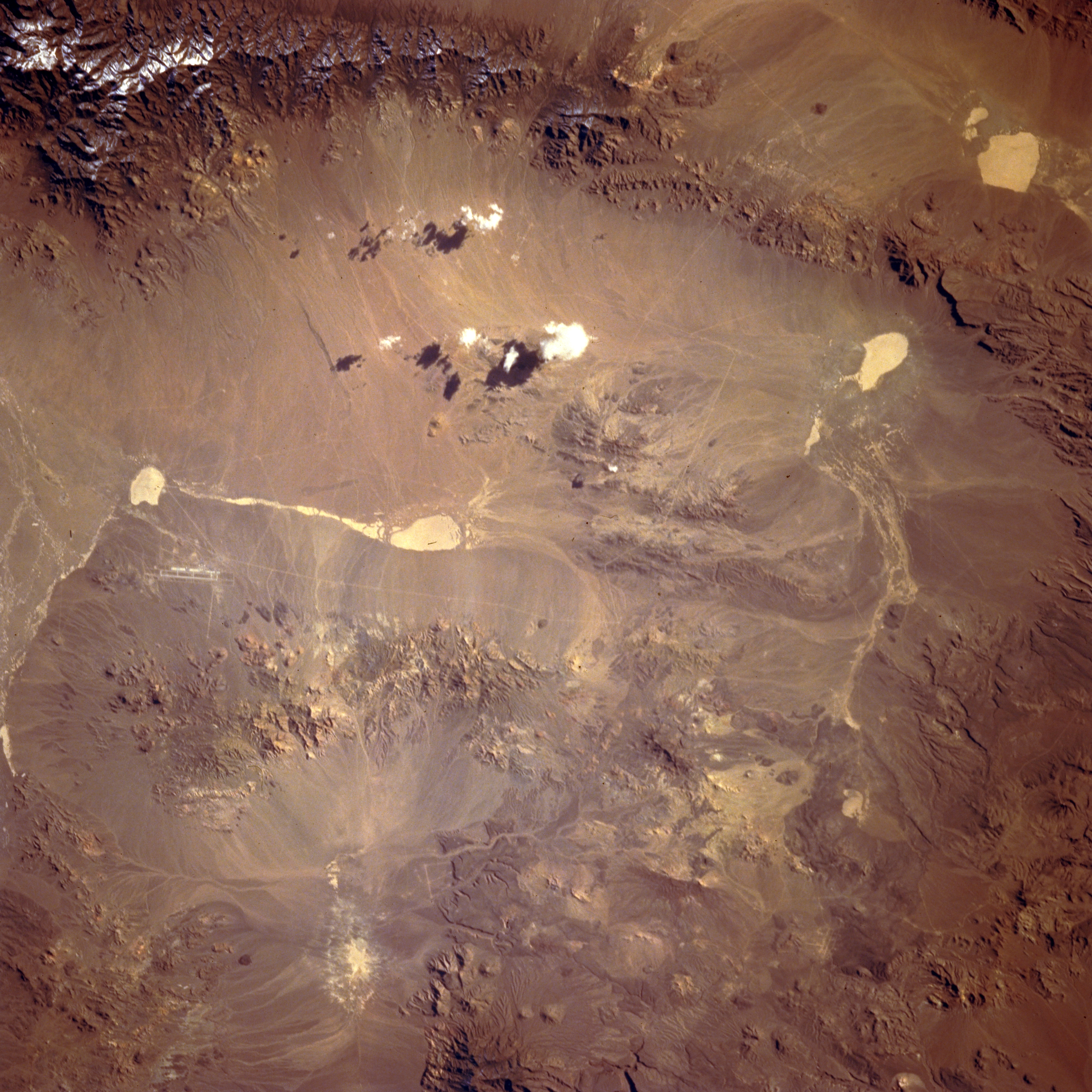
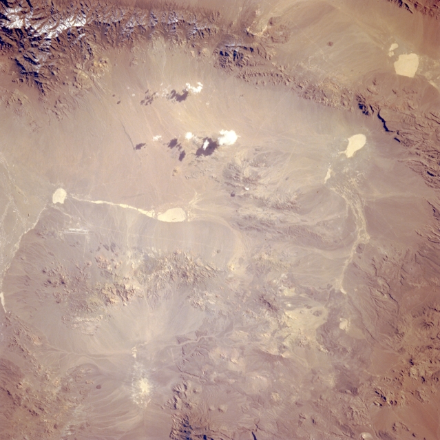
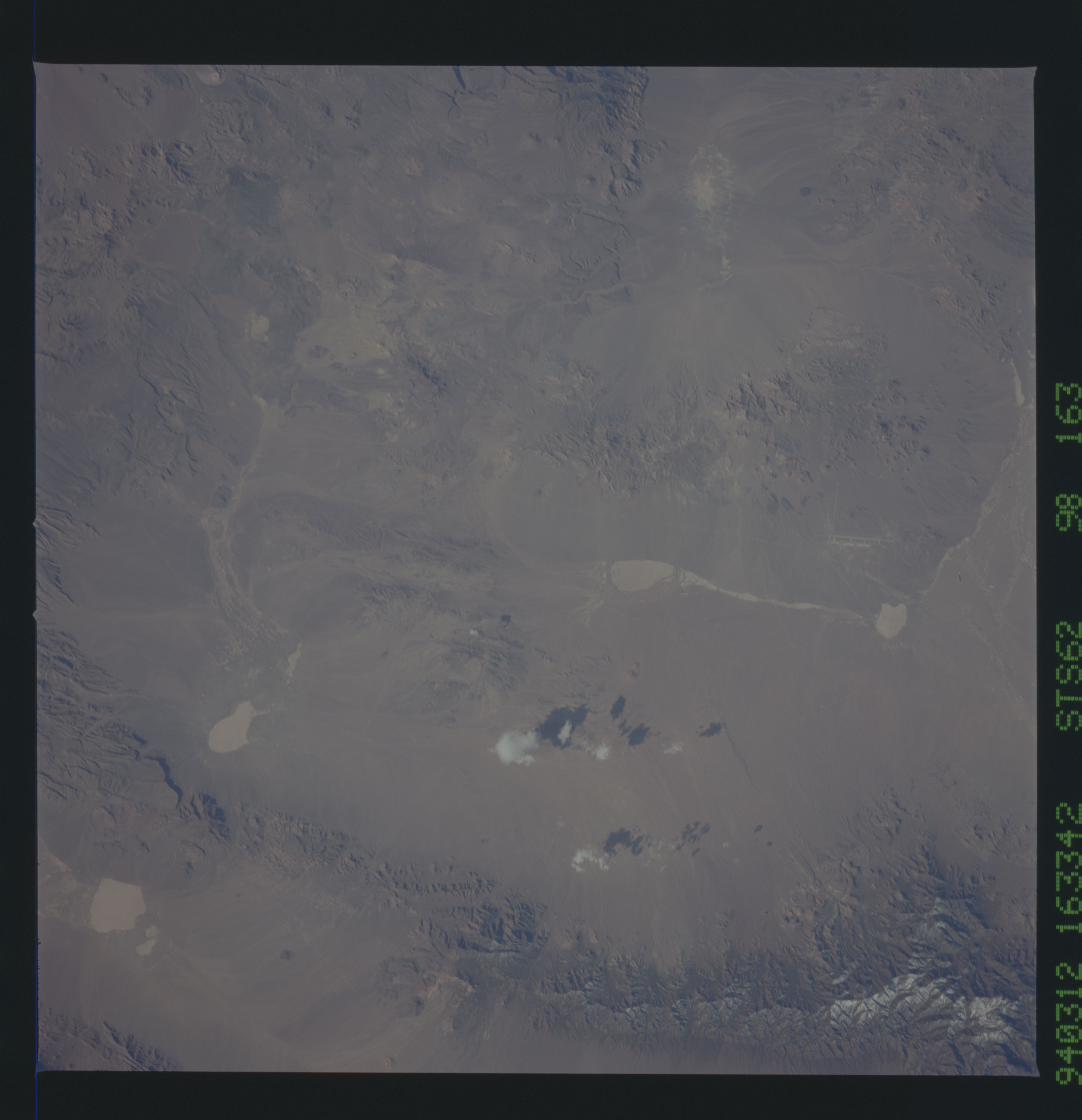
Image Caption: STS062-098-163 Tonopah Test Range, Nevada, U.S.A. March 1994
The only recognizable manmade feature in this desert landscape is the highly reflective, narrow runway of the Tonopah Test Range, visible on the left side of the photograph. Apparent also are five highly reflective, dry lakebeds. A few isolated patches of cumulus clouds and their shadows are visible along the eastern side of the valley, and the snow-covered, higher elevations of the Cactus Range appear at the top of the photograph. The remainder of the landscape consists of eroded, low mountains and hills.
The only recognizable manmade feature in this desert landscape is the highly reflective, narrow runway of the Tonopah Test Range, visible on the left side of the photograph. Apparent also are five highly reflective, dry lakebeds. A few isolated patches of cumulus clouds and their shadows are visible along the eastern side of the valley, and the snow-covered, higher elevations of the Cactus Range appear at the top of the photograph. The remainder of the landscape consists of eroded, low mountains and hills.
