STS062-98-159
| NASA Photo ID | STS062-98-159 |
| Focal Length | 250mm |
| Date taken | 1994.03.12 |
| Time taken | 16:33:03 GMT |
Resolutions offered for this image:
3904 x 3904 pixels 639 x 639 pixels 5700 x 5900 pixels 500 x 518 pixels 640 x 480 pixels
3904 x 3904 pixels 639 x 639 pixels 5700 x 5900 pixels 500 x 518 pixels 640 x 480 pixels

Cloud masks available for this image:
Spacecraft nadir point: 38.3° N, 118.5° W
Photo center point: 37.5° N, 120.0° W
Photo center point by machine learning:
Photo center point: 37.5° N, 120.0° W
Photo center point by machine learning:
Nadir to Photo Center: Southwest
Spacecraft Altitude: 160 nautical miles (296km)
Country or Geographic Name: | USA-CALIFORNIA |
Features: | RES., AGRICULTURE, VALLEY |
| Features Found Using Machine Learning: | |
Cloud Cover Percentage: | 5 (1-10)% |
Sun Elevation Angle: | 26° |
Sun Azimuth: | 118° |
Camera: | Hasselblad |
Focal Length: | 250mm |
Camera Tilt: | 33 degrees |
Format: | 5048: Kodak, natural color positive, Lumiere 100x/5048, ASA 100x, standard base |
Film Exposure: | Normal |
| Additional Information | |
| Width | Height | Annotated | Cropped | Purpose | Links |
|---|---|---|---|---|---|
| 3904 pixels | 3904 pixels | No | No | Earth From Space collection | Download Image |
| 639 pixels | 639 pixels | No | No | Earth From Space collection | Download Image |
| 5700 pixels | 5900 pixels | No | No | Download Image | |
| 500 pixels | 518 pixels | No | No | Download Image | |
| 640 pixels | 480 pixels | No | No | Download Image |
Download Packaged File
Download a Google Earth KML for this Image
View photo footprint information
Download a GeoTIFF for this photo
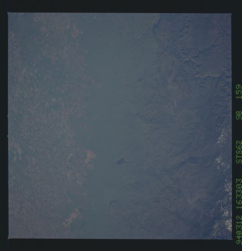
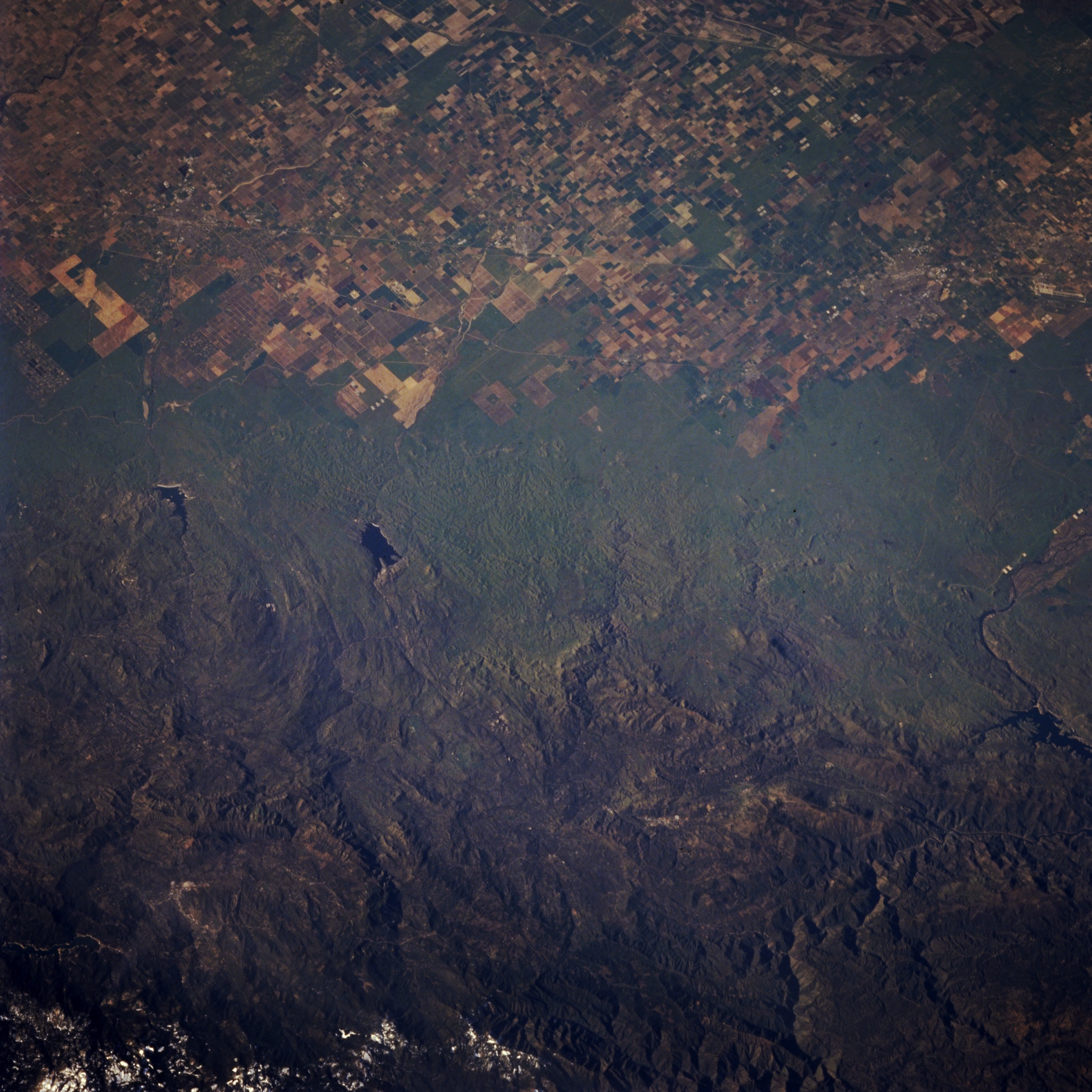
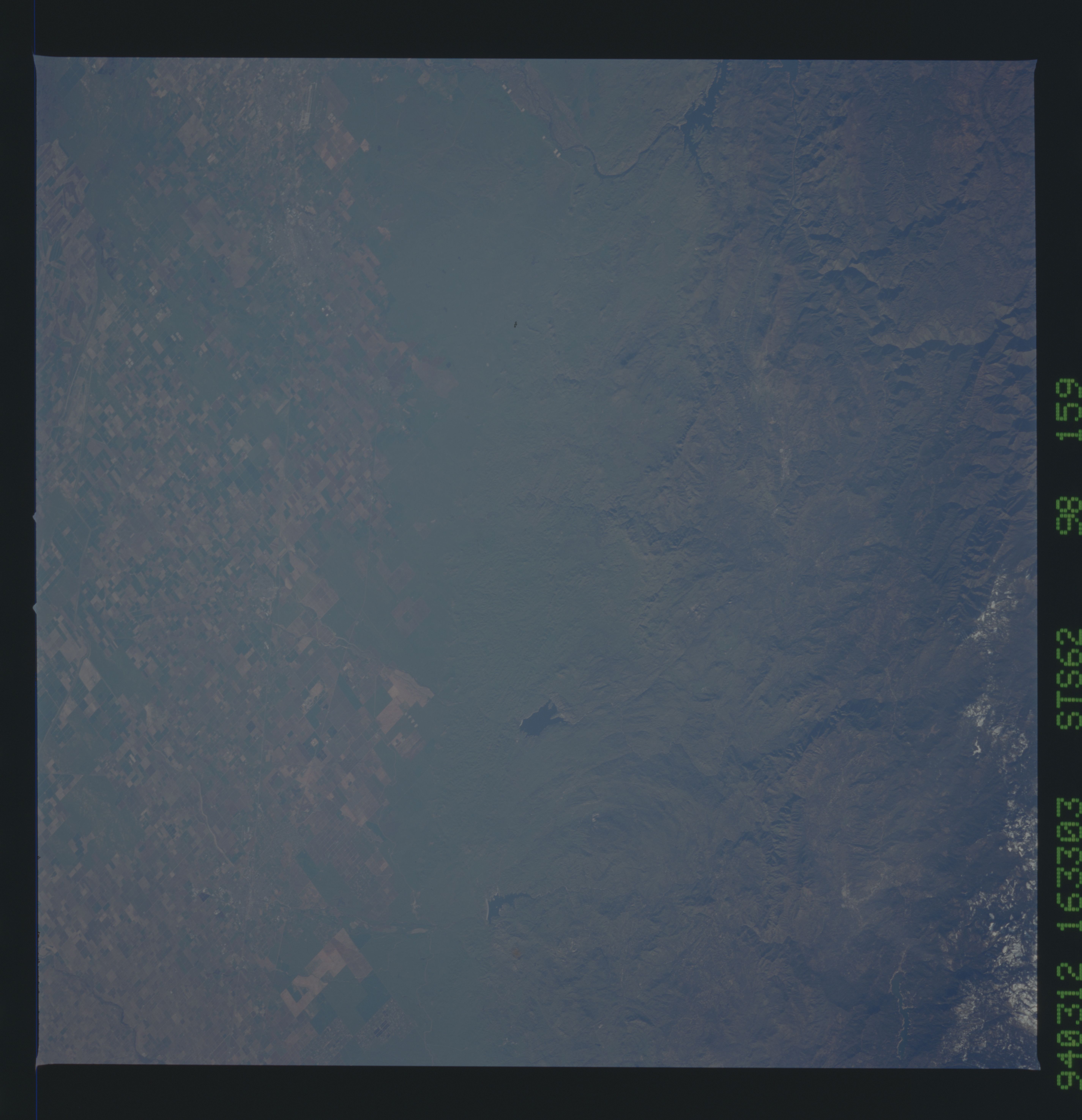
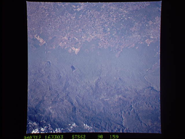
Image Caption: STS062-098-159 San Joaquin Valley, Millerton Lake, and Pine Flat Lake, California, U.S.A. March 1994
This low-oblique, east-looking photograph captures the rugged Sierra Nevada Mountains and Sierra National Forest. Visible are the lighter green grass and scrub cover of the lower altitude alluvial fan and the patterned fields of the agriculturally rich, north-south-trending San Joaquin Valley across the center and bottom third of the photograph, respectively. Pine Flat Lake is discernible south of the dark blue waters of Millerton Lake, a California State Recreation Area. A small portion of Lake McClure and the Merced River is visible near the left center of the photograph.
This low-oblique, east-looking photograph captures the rugged Sierra Nevada Mountains and Sierra National Forest. Visible are the lighter green grass and scrub cover of the lower altitude alluvial fan and the patterned fields of the agriculturally rich, north-south-trending San Joaquin Valley across the center and bottom third of the photograph, respectively. Pine Flat Lake is discernible south of the dark blue waters of Millerton Lake, a California State Recreation Area. A small portion of Lake McClure and the Merced River is visible near the left center of the photograph.
