STS062-94-96
| NASA Photo ID | STS062-94-96 |
| Focal Length | 250mm |
| Date taken | 1994.03.17 |
| Time taken | 14:44:32 GMT |
Resolutions offered for this image:
3863 x 3904 pixels 633 x 639 pixels 5700 x 5900 pixels 500 x 518 pixels 640 x 480 pixels
3863 x 3904 pixels 633 x 639 pixels 5700 x 5900 pixels 500 x 518 pixels 640 x 480 pixels


Cloud masks available for this image:
Spacecraft nadir point: 28.2° N, 94.8° W
Photo center point: 29.5° N, 95.0° W
Photo center point by machine learning:
Photo center point: 29.5° N, 95.0° W
Photo center point by machine learning:
Nadir to Photo Center: North
Spacecraft Altitude: 109 nautical miles (202km)
Country or Geographic Name: | USA-TEXAS |
Features: | GALVESTON BAY |
| Features Found Using Machine Learning: | |
Cloud Cover Percentage: | 0 (no clouds present) |
Sun Elevation Angle: | 29° |
Sun Azimuth: | 109° |
Camera: | Hasselblad |
Focal Length: | 250mm |
Camera Tilt: | 36 degrees |
Format: | 5046: Kodak, natural color positive, Lumiere 100/5046, ASA 100, standard base |
Film Exposure: | Normal |
| Additional Information | |
| Width | Height | Annotated | Cropped | Purpose | Links |
|---|---|---|---|---|---|
| 3863 pixels | 3904 pixels | No | No | Earth From Space collection | Download Image |
| 633 pixels | 639 pixels | No | No | Earth From Space collection | Download Image |
| 5700 pixels | 5900 pixels | No | No | Download Image | |
| 500 pixels | 518 pixels | No | No | Download Image | |
| 640 pixels | 480 pixels | No | No | Download Image |
Download Packaged File
Download a Google Earth KML for this Image
View photo footprint information
Download a GeoTIFF for this photo
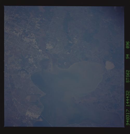
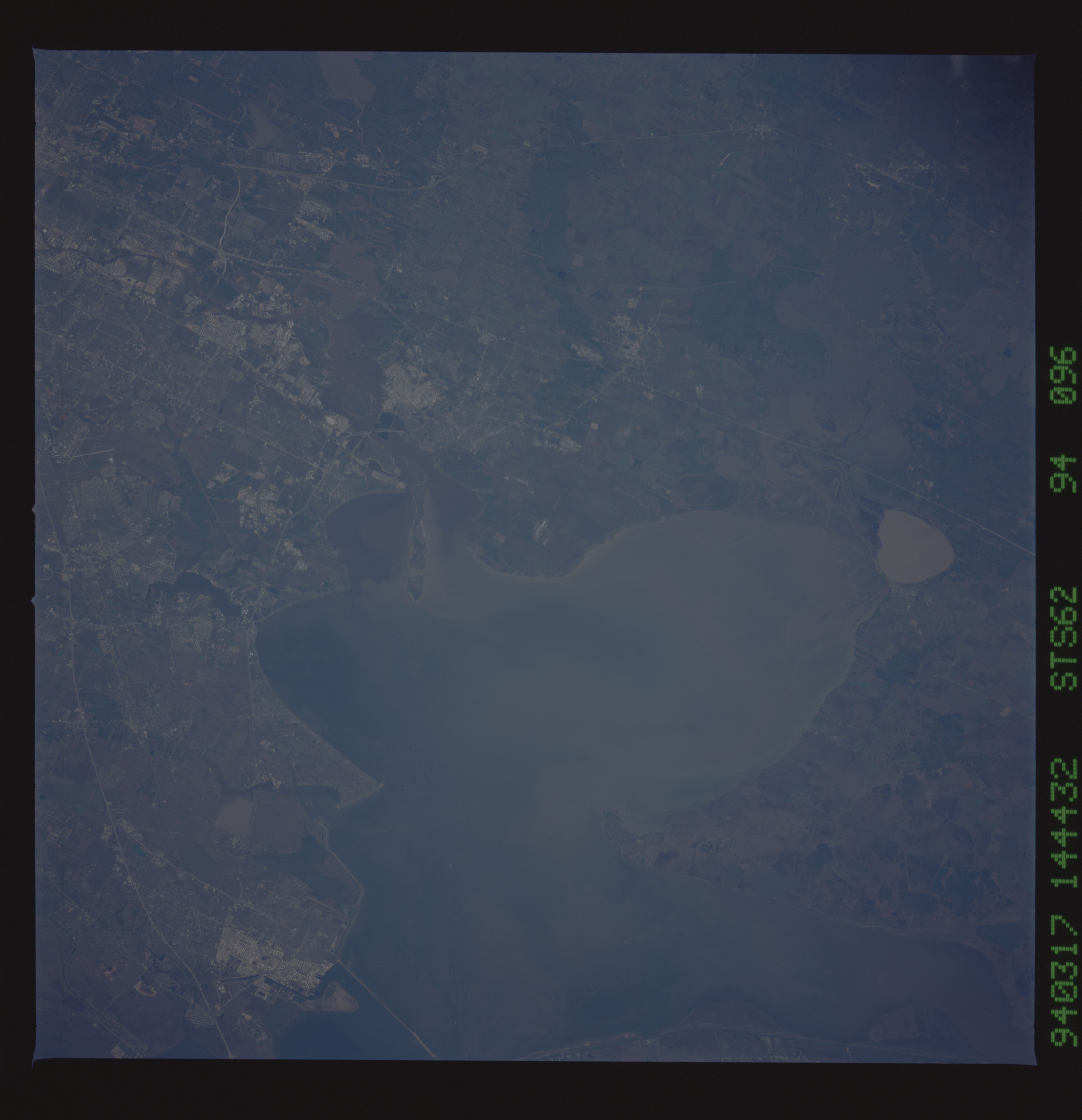
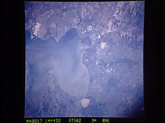
Image Caption: STS062-094-096 Galveston Bay, Texas, U.S.A. March 1994
Interstate Highway 10 exits the urban and industrial areas east of Houston and crosses two floodplains--one created by the San Jacinto River and a wider, swampy one that contains numerous lakes associated with the Trinity River. The northeast extension of Galveston Bay is Trinity Bay, which is really a bay within a bay; complex sediment patterns are discernible in both. Brown, oval Lake Anahuac is just south of Interstate Highway 10. Brighter reflective features show concentrations of petrochemical industries along the Houston Ship Channel and Texas City.
Interstate Highway 10 exits the urban and industrial areas east of Houston and crosses two floodplains--one created by the San Jacinto River and a wider, swampy one that contains numerous lakes associated with the Trinity River. The northeast extension of Galveston Bay is Trinity Bay, which is really a bay within a bay; complex sediment patterns are discernible in both. Brown, oval Lake Anahuac is just south of Interstate Highway 10. Brighter reflective features show concentrations of petrochemical industries along the Houston Ship Channel and Texas City.
