STS062-91-19
| NASA Photo ID | STS062-91-19 |
| Focal Length | 100mm |
| Date taken | 1994.03.06 |
| Time taken | 15:49:23 GMT |
Resolutions offered for this image:
3904 x 3904 pixels 639 x 639 pixels 5700 x 5900 pixels 500 x 518 pixels 640 x 480 pixels
3904 x 3904 pixels 639 x 639 pixels 5700 x 5900 pixels 500 x 518 pixels 640 x 480 pixels
Cloud masks available for this image:
Spacecraft nadir point: 38.7° N, 86.8° W
Photo center point: 37.0° N, 88.5° W
Photo center point by machine learning:
Photo center point: 37.0° N, 88.5° W
Photo center point by machine learning:
Nadir to Photo Center: Southwest
Spacecraft Altitude: 161 nautical miles (298km)
Camera: | Hasselblad |
Focal Length: | 100mm |
Camera Tilt: | 42 degrees |
Format: | 5046: Kodak, natural color positive, Lumiere 100/5046, ASA 100, standard base |
Film Exposure: | Normal |
| Additional Information | |
| Width | Height | Annotated | Cropped | Purpose | Links |
|---|---|---|---|---|---|
| 3904 pixels | 3904 pixels | No | No | Earth From Space collection | Download Image |
| 639 pixels | 639 pixels | No | No | Earth From Space collection | Download Image |
| 5700 pixels | 5900 pixels | No | No | Download Image | |
| 500 pixels | 518 pixels | No | No | Download Image | |
| 640 pixels | 480 pixels | No | No | Download Image |
Download Packaged File
Download a Google Earth KML for this Image
View photo footprint information
Download a GeoTIFF for this photo
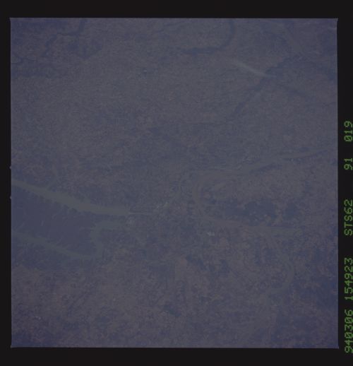
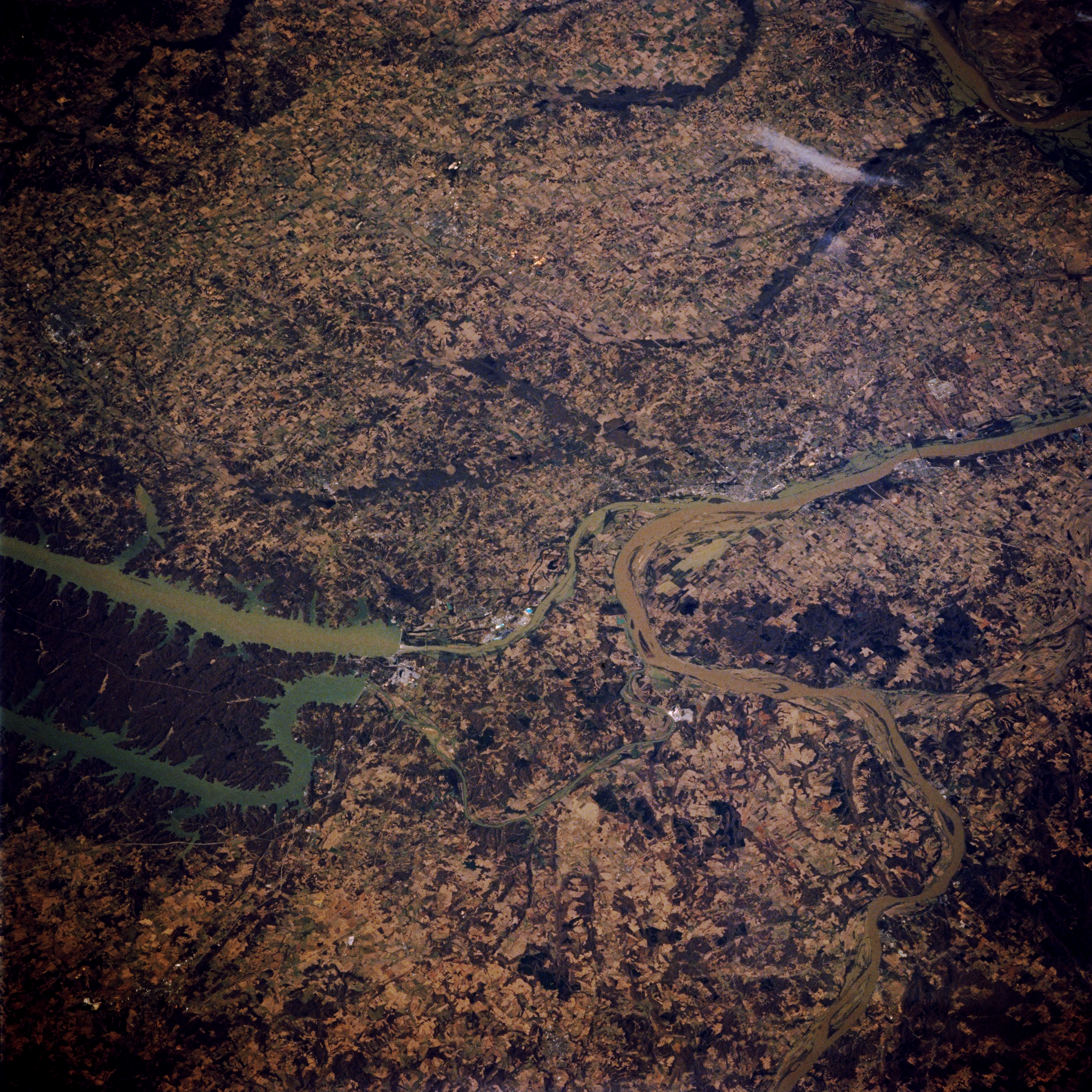
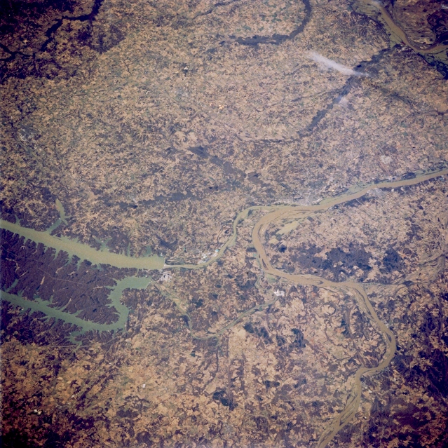
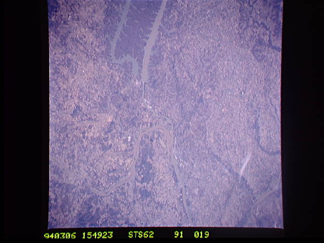
Image Caption: STS062-091-019 Kentucky Lake and Lake Barkley, Kentucky, U.S.A. March 1994
The Tennessee River flows northward through westernmost Kentucky Lake and empties into the Ohio River just east of Paducah, Kentucky. The Cumberland River flows northward through Lake Barkley and enters the Ohio River farther east. The plain west of the lakes gradually develops into rolling hills similar to the landscape east of the lakes. The main channel of the sediment-laden Ohio River winds westward to flow into the Mississippi River just south of Cairo, Illinois.
The Tennessee River flows northward through westernmost Kentucky Lake and empties into the Ohio River just east of Paducah, Kentucky. The Cumberland River flows northward through Lake Barkley and enters the Ohio River farther east. The plain west of the lakes gradually develops into rolling hills similar to the landscape east of the lakes. The main channel of the sediment-laden Ohio River winds westward to flow into the Mississippi River just south of Cairo, Illinois.
