STS062-87-130

| NASA Photo ID | STS062-87-130 |
| Focal Length | 40mm |
| Date taken | 1994.03.__ |
| Time taken | GMT |
Resolutions offered for this image:
3904 x 3881 pixels 639 x 636 pixels 5700 x 5900 pixels 500 x 518 pixels 640 x 480 pixels
3904 x 3881 pixels 639 x 636 pixels 5700 x 5900 pixels 500 x 518 pixels 640 x 480 pixels
Cloud masks available for this image:
Spacecraft nadir point:
Photo center point: 33.0° N, 106.0° W
Photo center point by machine learning:
Photo center point: 33.0° N, 106.0° W
Photo center point by machine learning:
Nadir to Photo Center:
Spacecraft Altitude: nautical miles (0km)
Country or Geographic Name: | USA-NEW MEXICO |
Features: | WHITE SANDS, ANDRES MTS. |
| Features Found Using Machine Learning: | |
Cloud Cover Percentage: | 5 (1-10)% |
Sun Elevation Angle: | ° |
Sun Azimuth: | ° |
Camera: | Hasselblad |
Focal Length: | 40mm |
Camera Tilt: | Low Oblique |
Format: | 5046: Kodak, natural color positive, Lumiere 100/5046, ASA 100, standard base |
Film Exposure: | Normal |
| Additional Information | |
| Width | Height | Annotated | Cropped | Purpose | Links |
|---|---|---|---|---|---|
| 3904 pixels | 3881 pixels | No | No | Earth From Space collection | Download Image |
| 639 pixels | 636 pixels | No | No | Earth From Space collection | Download Image |
| 5700 pixels | 5900 pixels | No | No | Download Image | |
| 500 pixels | 518 pixels | No | No | Download Image | |
| 640 pixels | 480 pixels | No | No | Download Image |
Download Packaged File
Download a Google Earth KML for this Image
View photo footprint information
Download a GeoTIFF for this photo
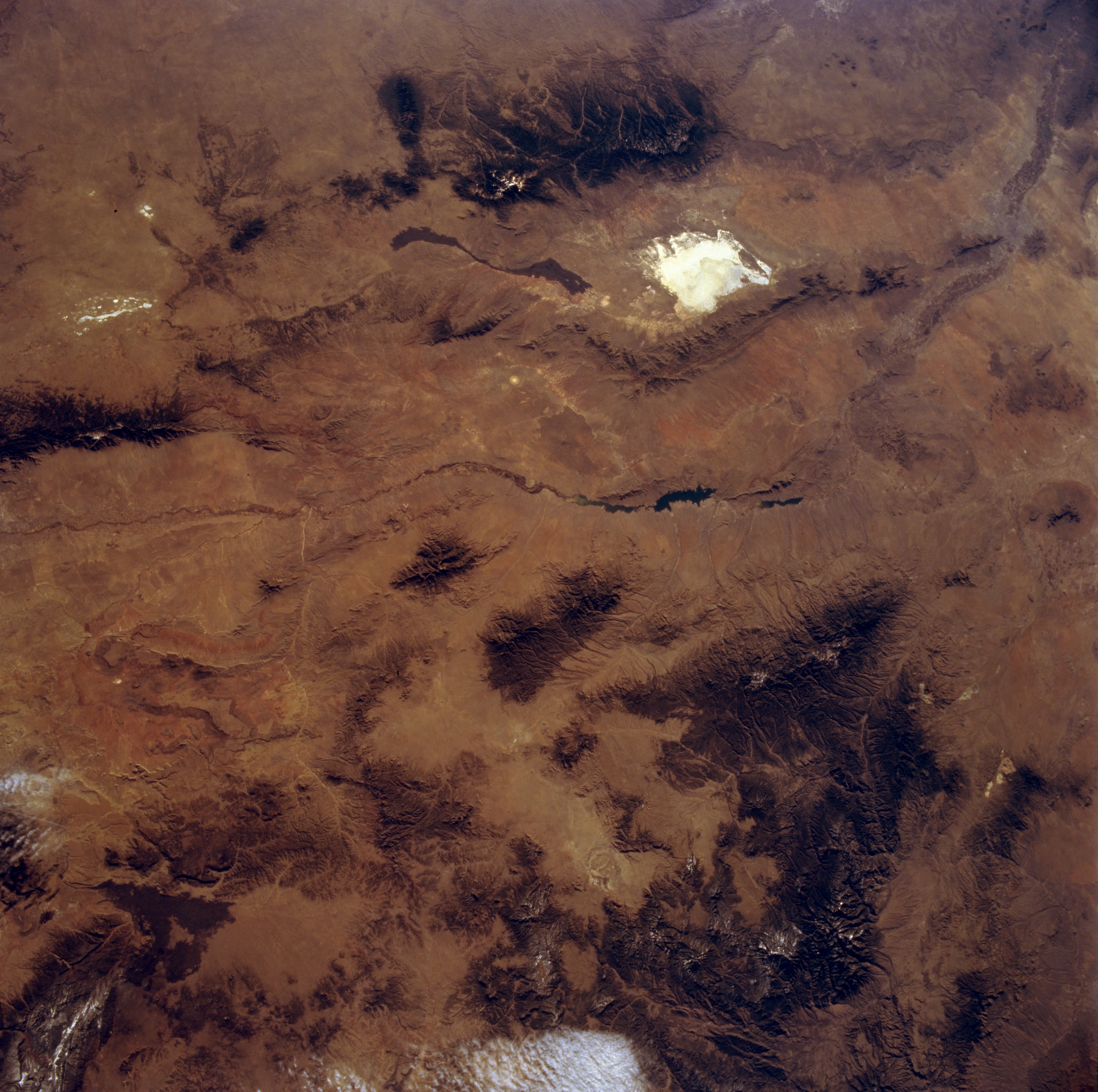
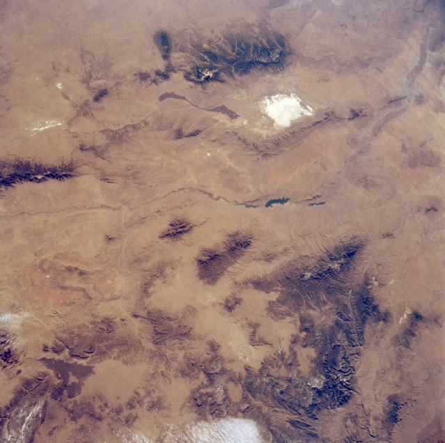
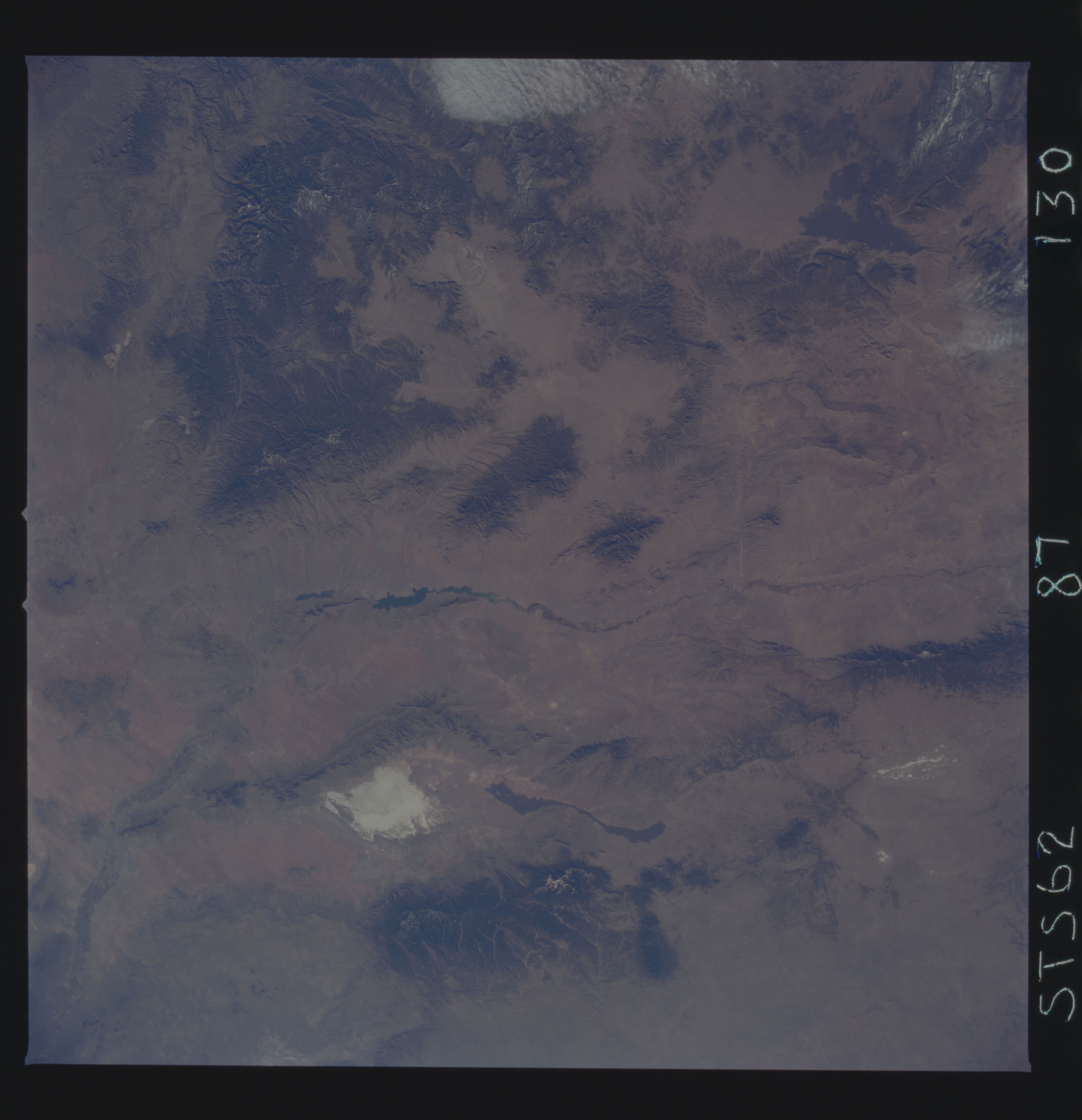
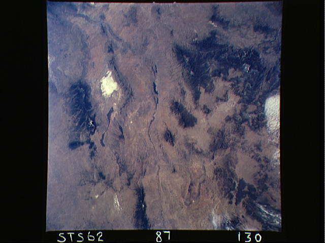
Image Caption: STS062-087-130 Southwest New Mexico, New Mexico U.S.A. March 1994
This panoramic east-looking photograph of southwest New Mexico portrays the heavily forested cluster of eastern mountains (Sierra Blanca, Sacramento, and Capitan) and Gila National Forest (including the Gallo, Mogollon, and Tularosa Mountains and the Black Range) to the west. Various shades of brown indicate sparsely vegetated valleys in the mountainous region. Visible between these mountain ranges are the narrow, linear Rio Grande and its rift valley extending north-south with large, dark Elephant Butte Reservoir in its course; the San Andres Mountains to its east; the highly reflective White Sands gypsum desert; and the ribbon-shaped, dark lava flow. Visible north of White Sands are the dry lakes of Laguna del Perro, and to their west is the southern end of the forested Manzano Mountains. To the west, clouds and snowcapped mountain peaks are discernible.
This panoramic east-looking photograph of southwest New Mexico portrays the heavily forested cluster of eastern mountains (Sierra Blanca, Sacramento, and Capitan) and Gila National Forest (including the Gallo, Mogollon, and Tularosa Mountains and the Black Range) to the west. Various shades of brown indicate sparsely vegetated valleys in the mountainous region. Visible between these mountain ranges are the narrow, linear Rio Grande and its rift valley extending north-south with large, dark Elephant Butte Reservoir in its course; the San Andres Mountains to its east; the highly reflective White Sands gypsum desert; and the ribbon-shaped, dark lava flow. Visible north of White Sands are the dry lakes of Laguna del Perro, and to their west is the southern end of the forested Manzano Mountains. To the west, clouds and snowcapped mountain peaks are discernible.
