STS062-81-78
| NASA Photo ID | STS062-81-78 |
| Focal Length | 250mm |
| Date taken | 1994.03.05 |
| Time taken | 14:06:21 GMT |
Resolutions offered for this image:
3904 x 3887 pixels 639 x 637 pixels 5700 x 5900 pixels 500 x 518 pixels 640 x 480 pixels
3904 x 3887 pixels 639 x 637 pixels 5700 x 5900 pixels 500 x 518 pixels 640 x 480 pixels
Cloud masks available for this image:
Spacecraft nadir point: 32.3° N, 81.4° W
Photo center point: 30.5° N, 82.0° W
Photo center point by machine learning:
Photo center point: 30.5° N, 82.0° W
Photo center point by machine learning:
Nadir to Photo Center: South
Spacecraft Altitude: 161 nautical miles (298km)
Country or Geographic Name: | USA-FLORIDA |
Features: | JACKSONVILLE, ST. JOHN R. |
| Features Found Using Machine Learning: | |
Cloud Cover Percentage: | 5 (1-10)% |
Sun Elevation Angle: | 27° |
Sun Azimuth: | 117° |
Camera: | Hasselblad |
Focal Length: | 250mm |
Camera Tilt: | 35 degrees |
Format: | 5046: Kodak, natural color positive, Lumiere 100/5046, ASA 100, standard base |
Film Exposure: | Normal |
| Additional Information | |
| Width | Height | Annotated | Cropped | Purpose | Links |
|---|---|---|---|---|---|
| 3904 pixels | 3887 pixels | No | No | Earth From Space collection | Download Image |
| 639 pixels | 637 pixels | No | No | Earth From Space collection | Download Image |
| 5700 pixels | 5900 pixels | No | No | Download Image | |
| 500 pixels | 518 pixels | No | No | Download Image | |
| 640 pixels | 480 pixels | No | No | Download Image |
Download Packaged File
Download a Google Earth KML for this Image
View photo footprint information
Download a GeoTIFF for this photo
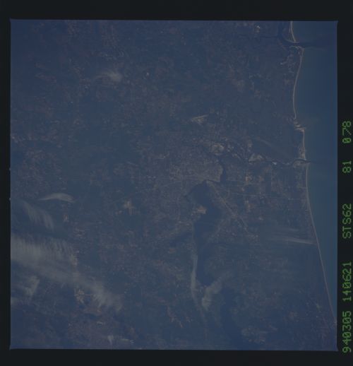
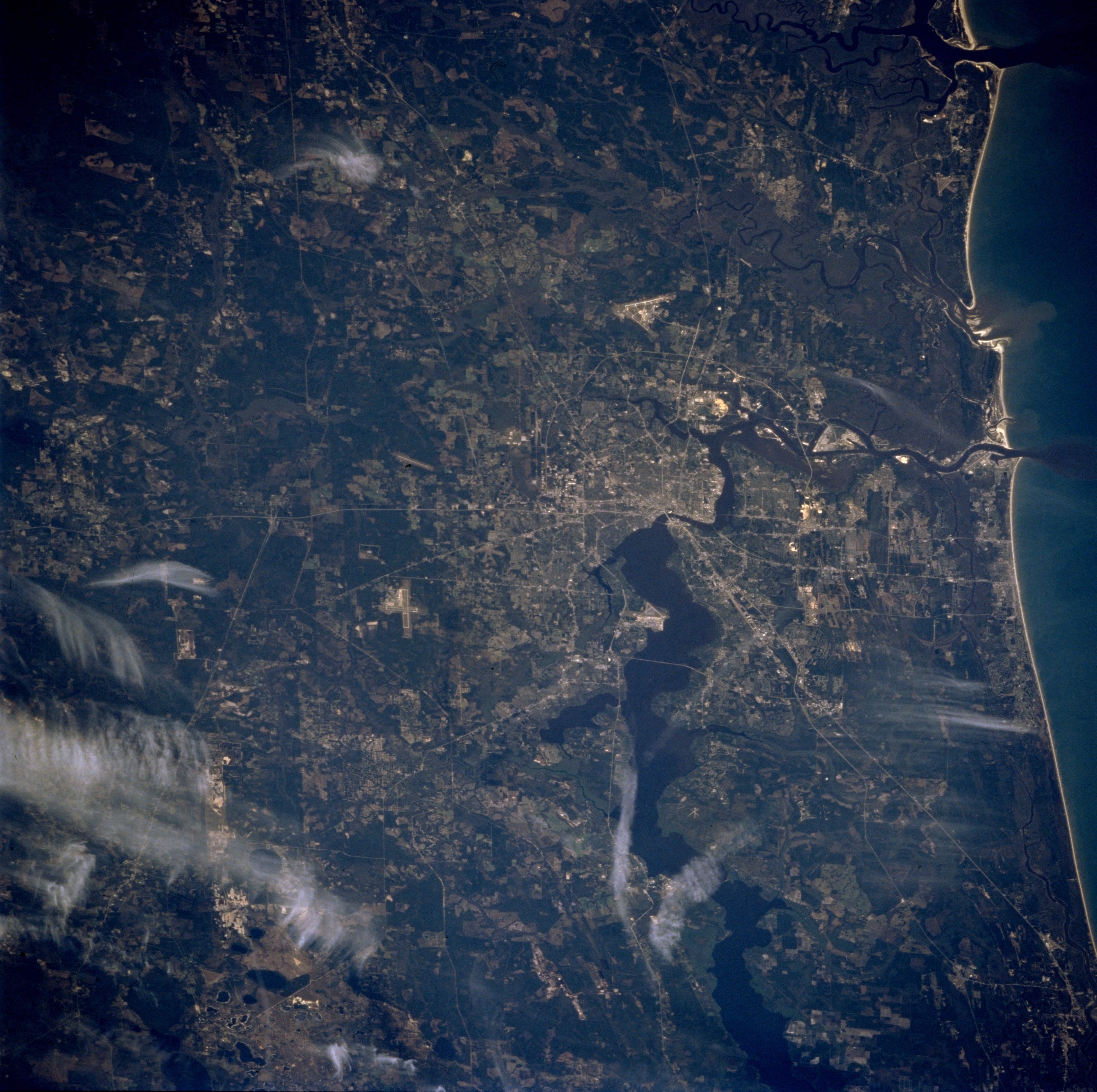
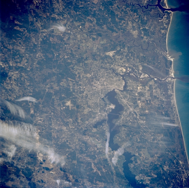
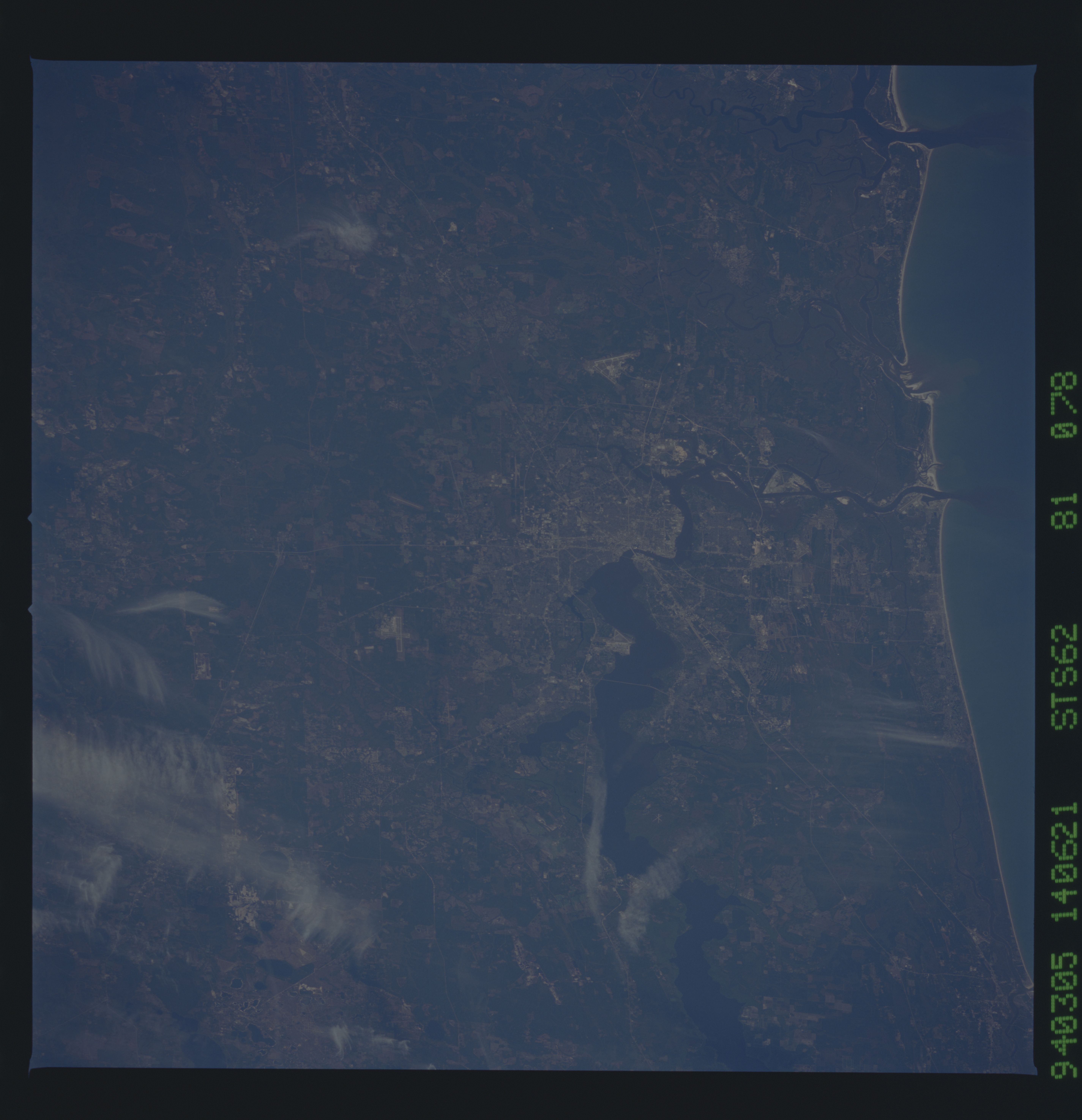
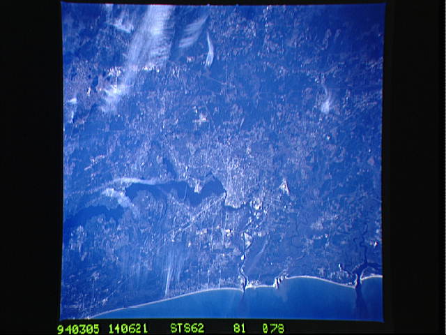
Image Caption: STS062-081-078 Jacksonville, Florida, U.S.A. March 1994
Numerous light, linear ground transportation links (several highways and some railroad rights-of-way) converge on Jacksonville, northeast Florida's largest city. Broad, dark Saint Johns River flows north to Jacksonville, narrows along the southern edge of downtown, and eventually flows eastward to the Atlantic Ocean. Saint Marys River, which originates in the Okefenokee Swamp of southeastern Georgia (dark area in upper left corner) and forms the state boundary for northeast Florida and southeast Georgia, traverses the low-lying, relatively flat terrain north and northwest of Jacksonville. Darker areas show concentrations of wooded, swampy landscapes. Several white cloud patterns are apparent.
Numerous light, linear ground transportation links (several highways and some railroad rights-of-way) converge on Jacksonville, northeast Florida's largest city. Broad, dark Saint Johns River flows north to Jacksonville, narrows along the southern edge of downtown, and eventually flows eastward to the Atlantic Ocean. Saint Marys River, which originates in the Okefenokee Swamp of southeastern Georgia (dark area in upper left corner) and forms the state boundary for northeast Florida and southeast Georgia, traverses the low-lying, relatively flat terrain north and northwest of Jacksonville. Darker areas show concentrations of wooded, swampy landscapes. Several white cloud patterns are apparent.
