STS062-151-40

| NASA Photo ID | STS062-151-40 |
| Focal Length | 90mm |
| Date taken | 1994.03.05 |
| Time taken | 15:38:50 GMT |
Cloud masks available for this image:
Spacecraft nadir point: 35.3° N, 95.7° W
Photo center point: 35.5° N, 96.5° W
Photo center point by machine learning:
Photo center point: 35.5° N, 96.5° W
Photo center point by machine learning:
Nadir to Photo Center: West
Spacecraft Altitude: 161 nautical miles (298km)
Camera: | Linhof |
Focal Length: | 90mm |
Camera Tilt: | 17 degrees |
Format: | 5048: Kodak, natural color positive, Lumiere 100x/5048, ASA 100x, standard base |
Film Exposure: | Normal |
| Additional Information | |
| Width | Height | Annotated | Cropped | Purpose | Links |
|---|---|---|---|---|---|
| 4064 pixels | 5152 pixels | No | No | Earth From Space collection | Download Image |
| 504 pixels | 640 pixels | No | No | Earth From Space collection | Download Image |
| 640 pixels | 480 pixels | No | No | ISD 1 | Download Image |
Download Packaged File
Download a Google Earth KML for this Image
View photo footprint information
Download a GeoTIFF for this photo
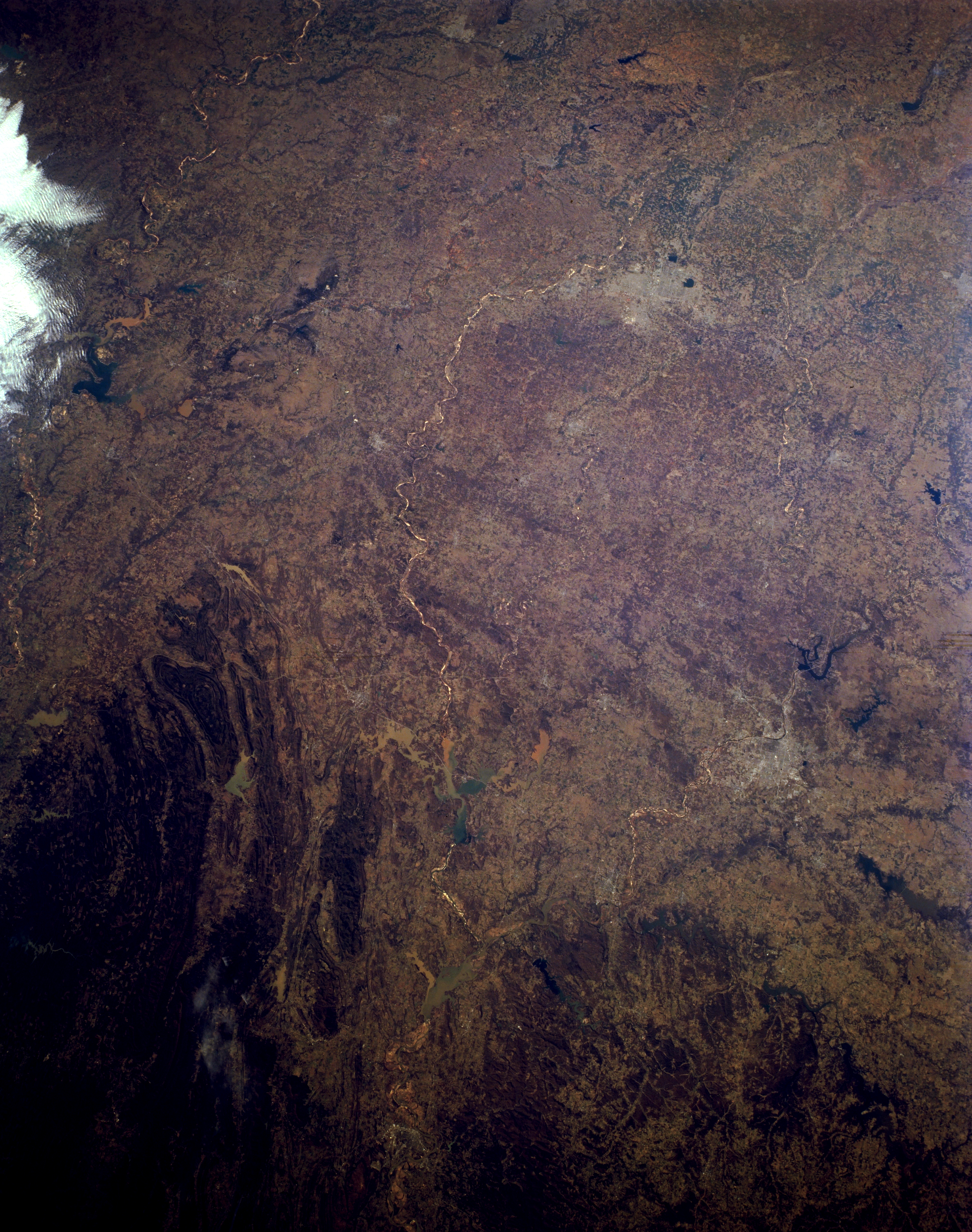
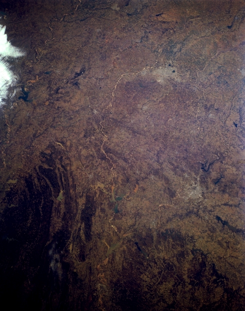
Image Caption: STS062-151-040 Eastern Oklahoma, U.S.A. March 1994
Visible in this panoramic, west-southwest-looking, low-oblique photograph of eastern Oklahoma are the western Ouachita Mountains, which are composed of strongly folded and faulted sedimentary rocks (bottom left); western portions of the dissected Ozark Plateau (bottom right); and Lake of the Cherokees (bottom right). Apparent are Oklahoma City and the Canadian River as it flows generally eastward to join the Arkansas River in Robert S. Kerr Lake (barely discernible) sandwiched between the Ouachita Mountains and the Ozark Plateau. Discernible are Lake Texoma (left center) and the Arbuckle Mountains to its north--a range of low, rolling hills formed in the Precambrian era.
Visible in this panoramic, west-southwest-looking, low-oblique photograph of eastern Oklahoma are the western Ouachita Mountains, which are composed of strongly folded and faulted sedimentary rocks (bottom left); western portions of the dissected Ozark Plateau (bottom right); and Lake of the Cherokees (bottom right). Apparent are Oklahoma City and the Canadian River as it flows generally eastward to join the Arkansas River in Robert S. Kerr Lake (barely discernible) sandwiched between the Ouachita Mountains and the Ozark Plateau. Discernible are Lake Texoma (left center) and the Arbuckle Mountains to its north--a range of low, rolling hills formed in the Precambrian era.
