STS062-109-67
| NASA Photo ID | STS062-109-67 |
| Focal Length | 250mm |
| Date taken | 1994.03.16 |
| Time taken | 04:59:52 GMT |
Resolutions offered for this image:
3904 x 3904 pixels 639 x 639 pixels 5700 x 5900 pixels 500 x 518 pixels 640 x 480 pixels
3904 x 3904 pixels 639 x 639 pixels 5700 x 5900 pixels 500 x 518 pixels 640 x 480 pixels
Cloud masks available for this image:
Spacecraft nadir point: 24.0° S, 136.6° E
Photo center point:
Photo center point by machine learning:
Photo center point:
Photo center point by machine learning:
Nadir to Photo Center:
Spacecraft Altitude: 140 nautical miles (259km)
Country or Geographic Name: | AUSTRALIA-NT |
Features: | SIMPSON DES., FIRE SCARS |
| Features Found Using Machine Learning: | |
Cloud Cover Percentage: | 0 (no clouds present) |
Sun Elevation Angle: | 54° |
Sun Azimuth: | 303° |
Camera: | Hasselblad |
Focal Length: | 250mm |
Camera Tilt: | Low Oblique |
Format: | 5048: Kodak, natural color positive, Lumiere 100x/5048, ASA 100x, standard base |
Film Exposure: | Normal |
| Additional Information | |
| Width | Height | Annotated | Cropped | Purpose | Links |
|---|---|---|---|---|---|
| 3904 pixels | 3904 pixels | No | No | Earth From Space collection | Download Image |
| 639 pixels | 639 pixels | No | No | Earth From Space collection | Download Image |
| 5700 pixels | 5900 pixels | No | No | Download Image | |
| 500 pixels | 518 pixels | No | No | Download Image | |
| 640 pixels | 480 pixels | No | No | Download Image |
Download Packaged File
Download a Google Earth KML for this Image
View photo footprint information
Download a GeoTIFF for this photo
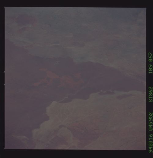
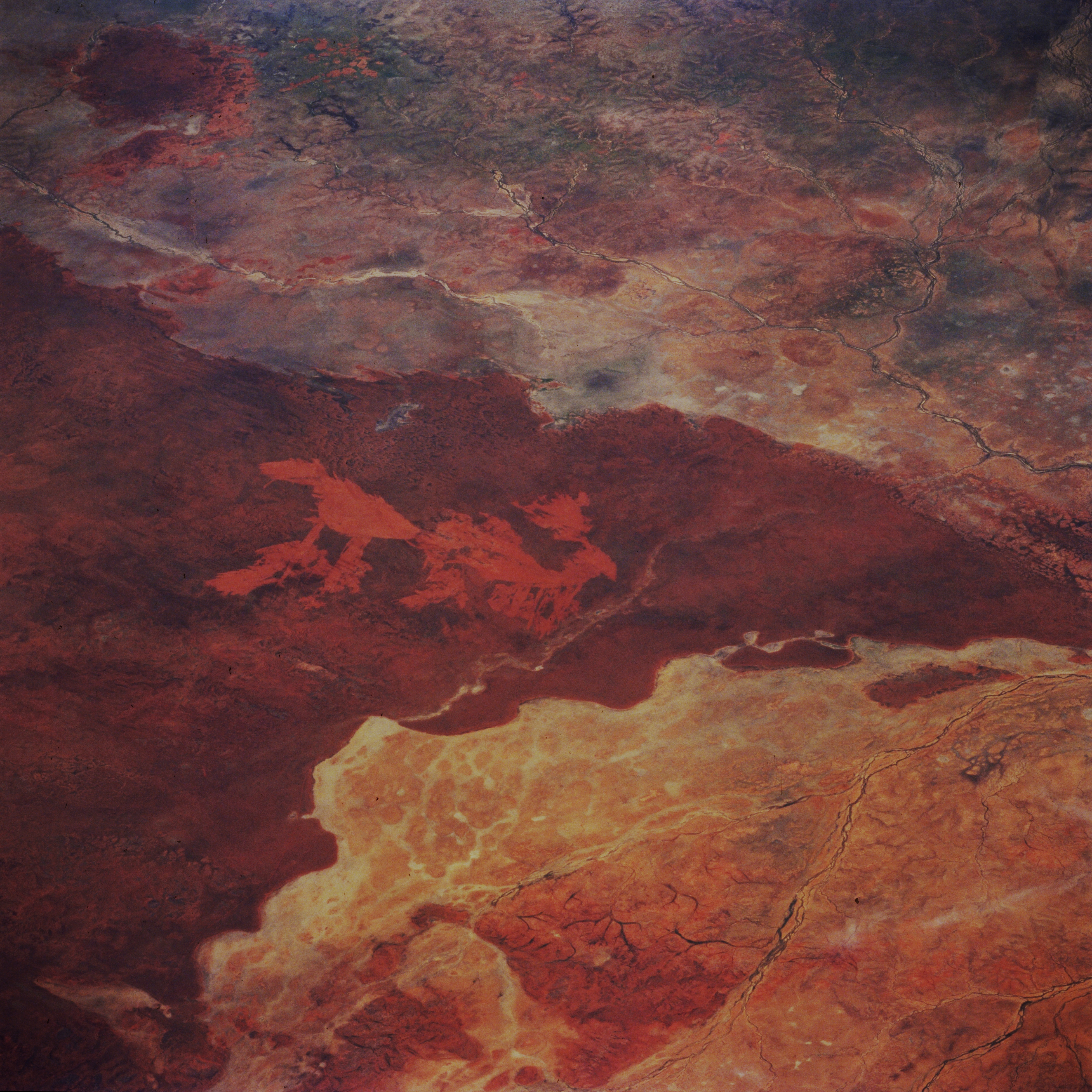
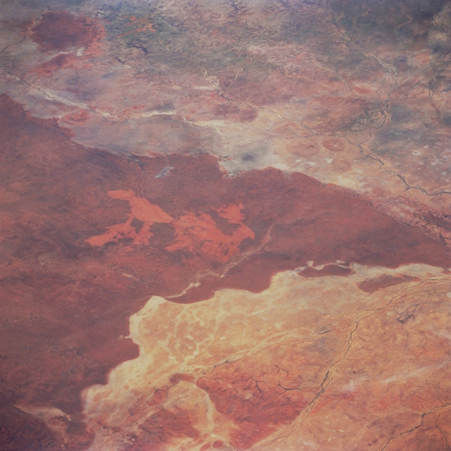
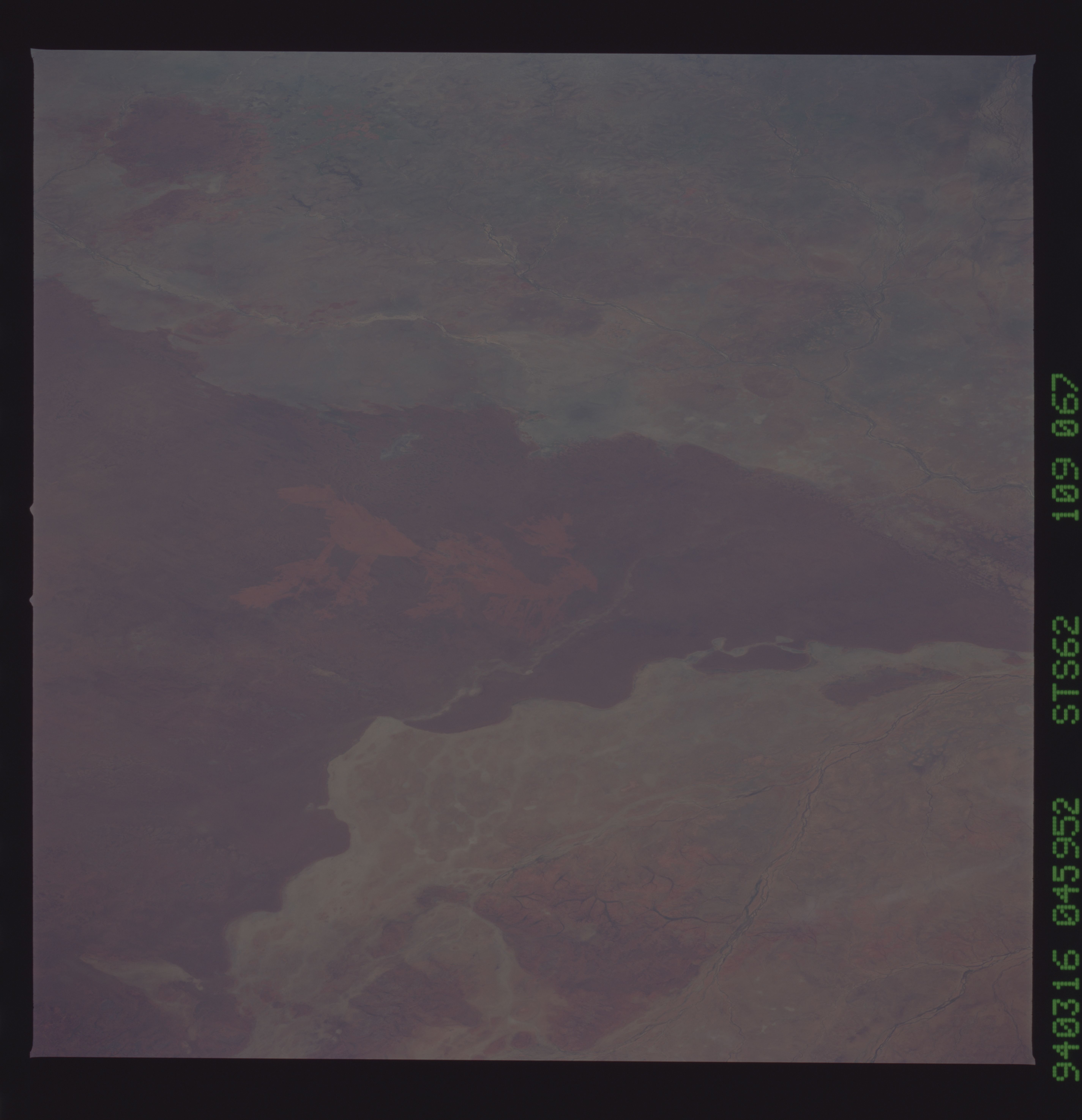
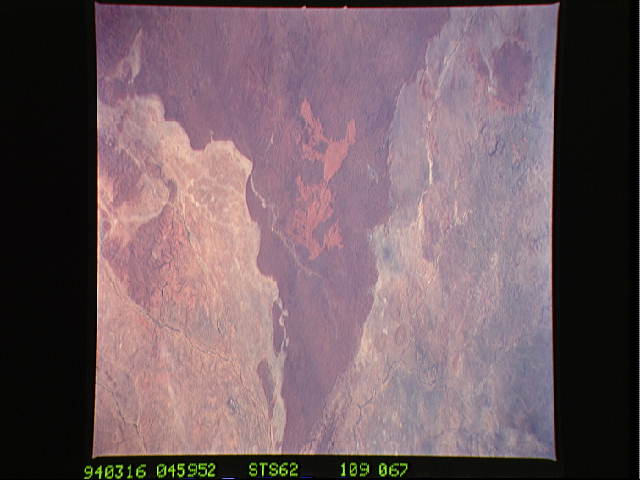
Image Caption: STS062-109-067 Barkly Tableland, Queensland, Australia March 1994
The northeast end of the slightly elevated Barkly Tableland (darker area) shows a marked color contrast in this semiarid landscape roughly 60 miles (97 kilometers) northwest of Mount Isa near the Queensland-Northern Territory border. The dark, V-shaped feature is a slightly elevated, sandy area that is covered by grass. Within this grassland, the lighter colored, reddish patterns are burn scars, probably caused by a lightning strike. Several ephemeral streams can be identified in the lower, flatter regions of the image.
The northeast end of the slightly elevated Barkly Tableland (darker area) shows a marked color contrast in this semiarid landscape roughly 60 miles (97 kilometers) northwest of Mount Isa near the Queensland-Northern Territory border. The dark, V-shaped feature is a slightly elevated, sandy area that is covered by grass. Within this grassland, the lighter colored, reddish patterns are burn scars, probably caused by a lightning strike. Several ephemeral streams can be identified in the lower, flatter regions of the image.
