STS062-108-33

| NASA Photo ID | STS062-108-33 |
| Focal Length | 100mm |
| Date taken | 1994.03.14 |
| Time taken | 06:46:36 GMT |
Cloud masks available for this image:
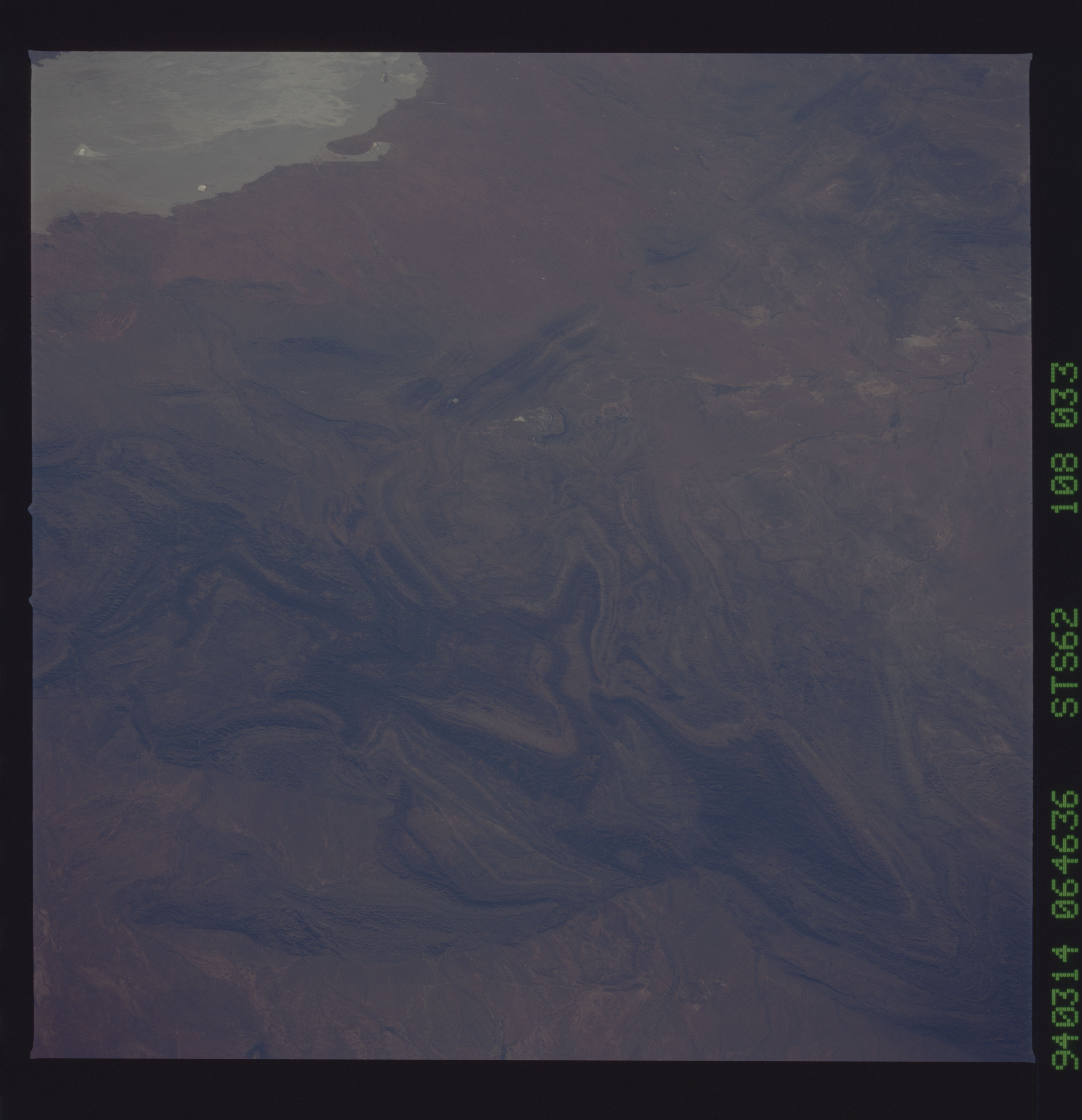
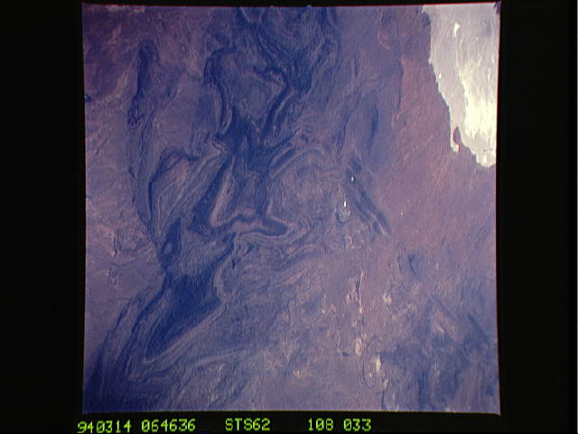
Spacecraft nadir point: 32.2° S, 142.2° E
Photo center point: 30.5° S, 139.0° E
Photo center point by machine learning:
Photo center point: 30.5° S, 139.0° E
Photo center point by machine learning:
Nadir to Photo Center: Northwest
Spacecraft Altitude: 163 nautical miles (302km)
Country or Geographic Name: | AUSTRALIA-SA |
Features: | BENBONYATHE HILL, DESERT |
| Features Found Using Machine Learning: | |
Cloud Cover Percentage: | 0 (no clouds present) |
Sun Elevation Angle: | 25° |
Sun Azimuth: | 284° |
Camera: | Hasselblad |
Focal Length: | 100mm |
Camera Tilt: | 53 degrees |
Format: | 5048: Kodak, natural color positive, Lumiere 100x/5048, ASA 100x, standard base |
Film Exposure: | Normal |
| Additional Information | |
| Width | Height | Annotated | Cropped | Purpose | Links |
|---|---|---|---|---|---|
| 5700 pixels | 5900 pixels | No | No | Download Image | |
| 500 pixels | 518 pixels | No | No | Download Image | |
| 640 pixels | 480 pixels | No | No | Download Image |
Download Packaged File
Download a Google Earth KML for this Image
View photo footprint information
Download a GeoTIFF for this photo
Image Caption: Northern Flinders Ranges, South Australia.
The tip of the arrowhead-shaped range is Benbonyathe Hill,
3470 feet elevation. Dry Lake Torrens is west of the ranges,
Lake Frome to the east (off the frame), and
"The Frome" drainage northwest of the range flows into Lake Eyre.
The tip of the arrowhead-shaped range is Benbonyathe Hill,
3470 feet elevation. Dry Lake Torrens is west of the ranges,
Lake Frome to the east (off the frame), and
"The Frome" drainage northwest of the range flows into Lake Eyre.
