STS062-104-94
| NASA Photo ID | STS062-104-94 |
| Focal Length | 250mm |
| Date taken | 1994.03.07 |
| Time taken | 17:25:36 GMT |
Resolutions offered for this image:
3872 x 3904 pixels 634 x 639 pixels 5700 x 5900 pixels 500 x 518 pixels 640 x 480 pixels
3872 x 3904 pixels 634 x 639 pixels 5700 x 5900 pixels 500 x 518 pixels 640 x 480 pixels
Cloud masks available for this image:
Spacecraft nadir point: 38.3° N, 122.5° W
Photo center point: 38.5° N, 121.5° W
Photo center point by machine learning:
Photo center point: 38.5° N, 121.5° W
Photo center point by machine learning:
Nadir to Photo Center: East
Spacecraft Altitude: 161 nautical miles (298km)
Country or Geographic Name: | USA-CALIFORNIA |
Features: | SACRAMENTO |
| Features Found Using Machine Learning: | |
Cloud Cover Percentage: | 0 (no clouds present) |
Sun Elevation Angle: | 31° |
Sun Azimuth: | 127° |
Camera: | Hasselblad |
Focal Length: | 250mm |
Camera Tilt: | 21 degrees |
Format: | 5048: Kodak, natural color positive, Lumiere 100x/5048, ASA 100x, standard base |
Film Exposure: | Normal |
| Additional Information | |
| Width | Height | Annotated | Cropped | Purpose | Links |
|---|---|---|---|---|---|
| 3872 pixels | 3904 pixels | No | No | Earth From Space collection | Download Image |
| 634 pixels | 639 pixels | No | No | Earth From Space collection | Download Image |
| 5700 pixels | 5900 pixels | No | No | Download Image | |
| 500 pixels | 518 pixels | No | No | Download Image | |
| 640 pixels | 480 pixels | No | No | Download Image |
Download Packaged File
Download a Google Earth KML for this Image
View photo footprint information
Download a GeoTIFF for this photo
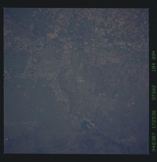
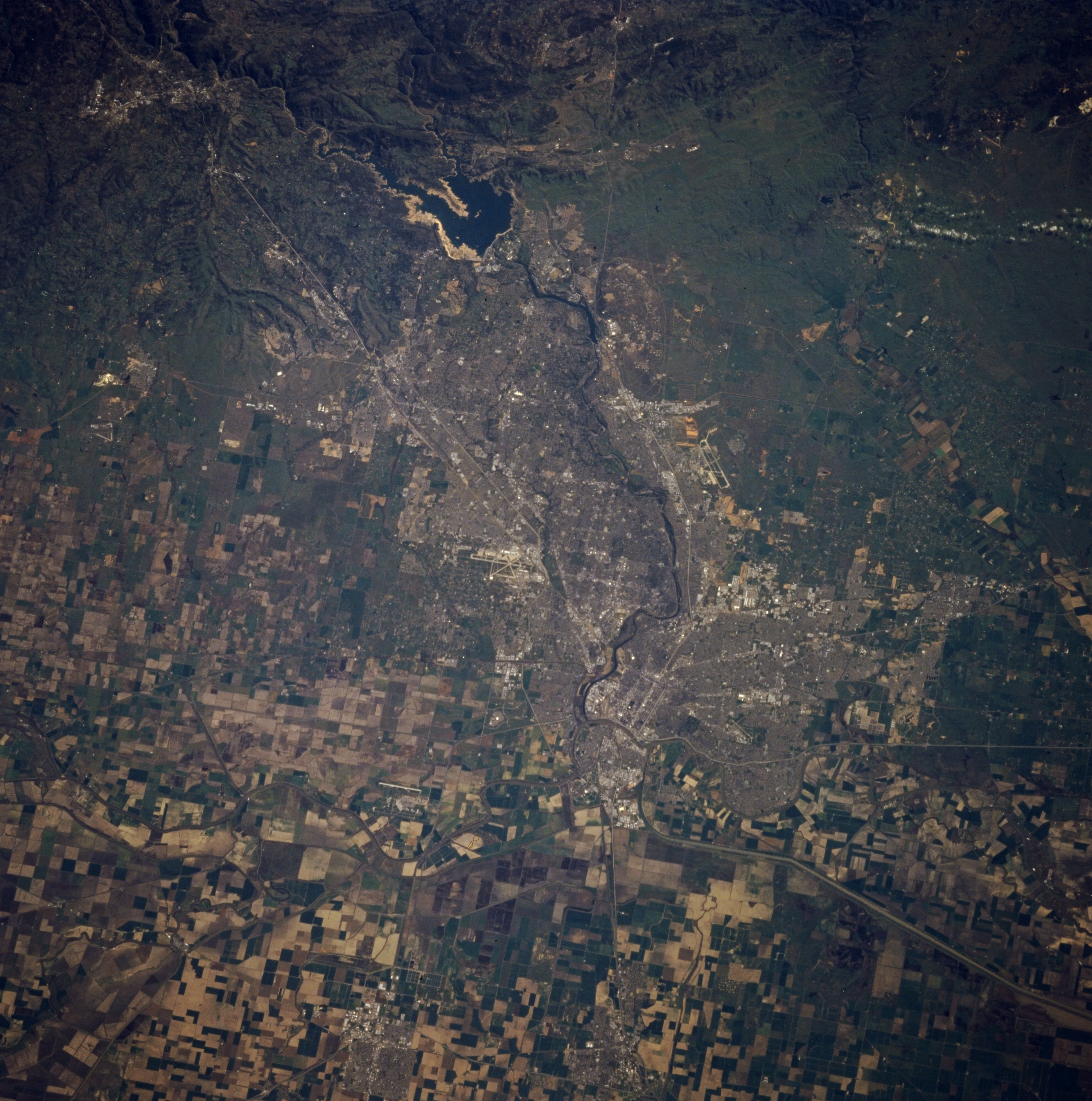
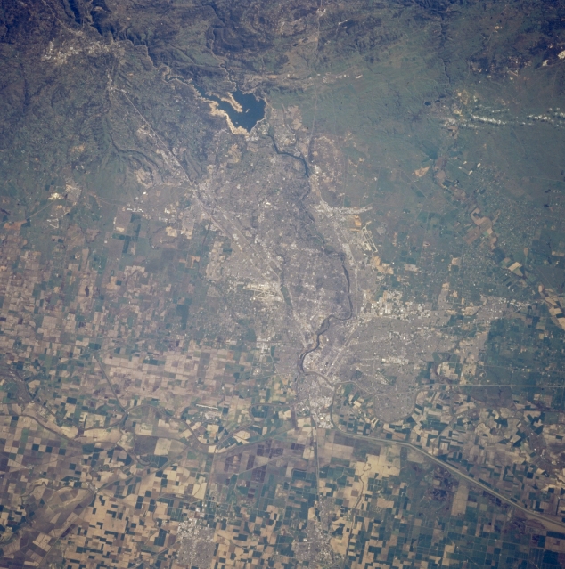
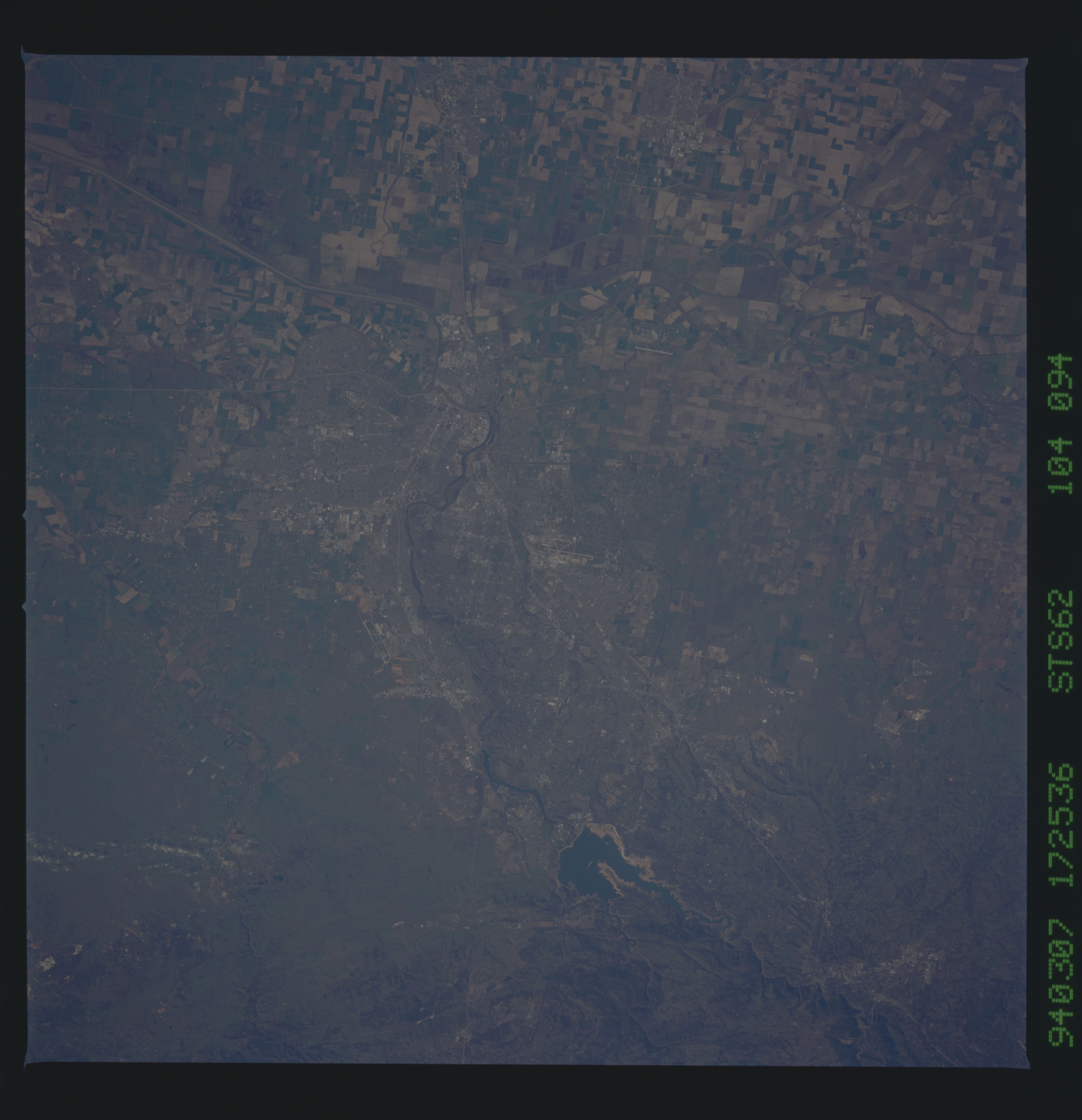
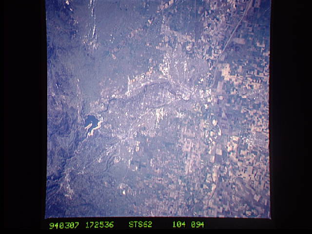
Image Caption: STS062-104-094 Sacramento, California, U.S.A. March 1994
Sacramento, the capital of California, appears in this near-vertical photograph. A deep water port, via a channel to Suisun Bay, Sacramento is the major shipping, rail, processing, and marketing center for the truck farms of the Sacramento Valley. The Sacramento River approaches the city from the north. The American River travels eastward through Folsom Lake to the foothills of the Sierra Nevadas. The discovery of gold at Sutters Mill in 1848, just east of Folsom Lake, started the 1849 California Gold Rush. Sacramento was the western terminus of the Pony Express in the 1850s and early 1860s.
Sacramento, the capital of California, appears in this near-vertical photograph. A deep water port, via a channel to Suisun Bay, Sacramento is the major shipping, rail, processing, and marketing center for the truck farms of the Sacramento Valley. The Sacramento River approaches the city from the north. The American River travels eastward through Folsom Lake to the foothills of the Sierra Nevadas. The discovery of gold at Sutters Mill in 1848, just east of Folsom Lake, started the 1849 California Gold Rush. Sacramento was the western terminus of the Pony Express in the 1850s and early 1860s.
