STS061-101-23
| NASA Photo ID | STS061-101-23 |
| Focal Length | 40mm |
| Date taken | 1993.12.09 |
| Time taken | 15:04:34 GMT |
Cloud masks available for this image:
Spacecraft nadir point: 18.4° S, 73.5° W
Photo center point: 24.0° S, 70.5° W
Photo center point by machine learning:
Photo center point: 24.0° S, 70.5° W
Photo center point by machine learning:
Nadir to Photo Center: Southeast
Spacecraft Altitude: 321 nautical miles (594km)
Country or Geographic Name: | CHILE |
Features: | ATACAMA DES., COASTAL CL |
| Features Found Using Machine Learning: | |
Cloud Cover Percentage: | 65 (51-75)% |
Sun Elevation Angle: | 66° |
Sun Azimuth: | 105° |
Camera: | Hasselblad |
Focal Length: | 40mm |
Camera Tilt: | High Oblique |
Format: | VELVI: Fuji, natural color positive, Velvia 50, CS 135-36, ASA 32, standard base |
Film Exposure: | Normal |
| Additional Information | |
| Width | Height | Annotated | Cropped | Purpose | Links |
|---|---|---|---|---|---|
| 5700 pixels | 5900 pixels | No | No | Download Image | |
| 500 pixels | 518 pixels | No | No | Download Image | |
| 640 pixels | 480 pixels | No | No | Download Image |
Download Packaged File
Download a Google Earth KML for this Image
View photo footprint information
Download a GeoTIFF for this photo
Image Caption: STS061-101-023
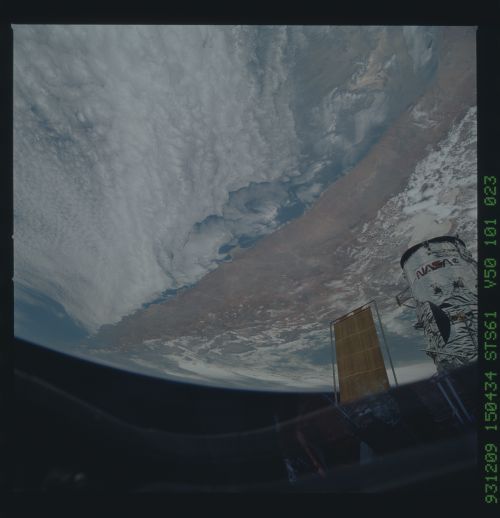
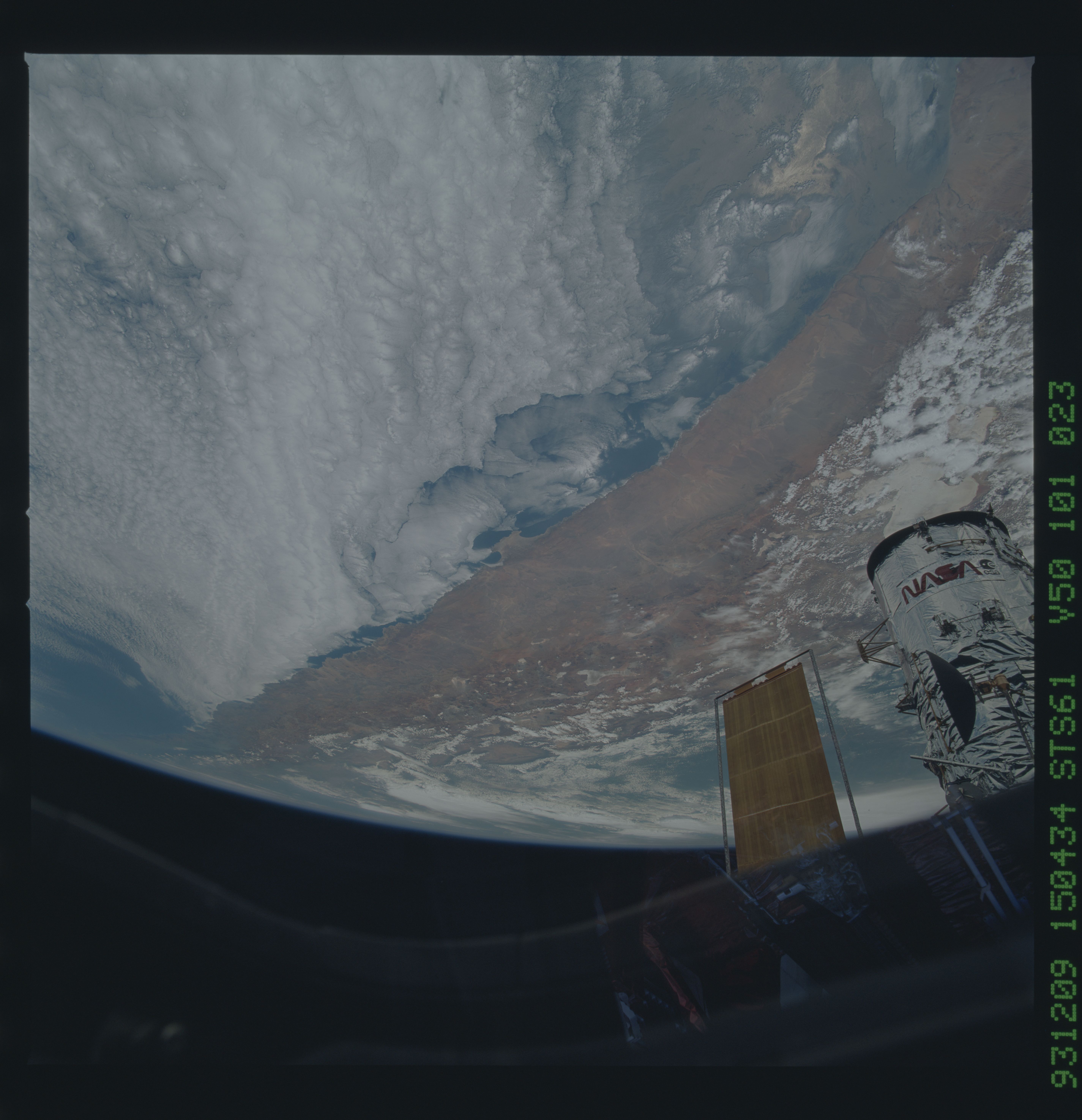
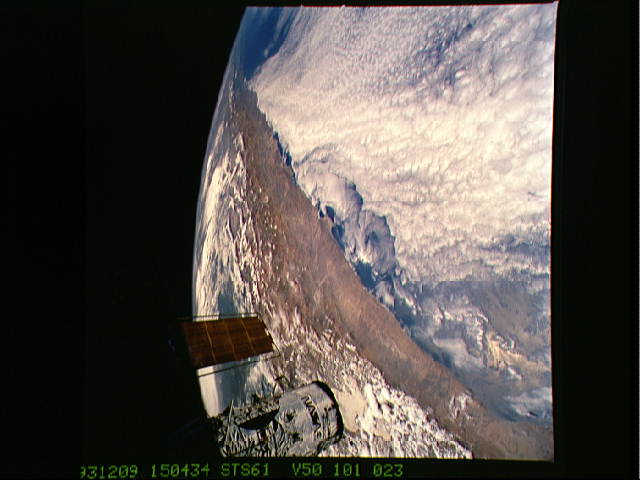
Central Andes. This wide, oblique view (looking southeast) includes
the whole Central Andes region, from the "bend" in the Western South
American coastline (1) and the large Uyuni Salar beneath the Hubble
Telescope (2), the Atacama desert (3), the Altiplano (4), Mt. Lascar
(5) to the Southern Andes (6). The green hazy region east of the
mountains is the forested region of northern Argentina and Bolivia.
Low stratus clouds form over the cold water offshore.
This color photograph is a panoramic (southeastern view) shot that features the northern half of the country of Chile and the Andes Mountains of South America. The Atacama Desert, one of the driest regions on earth, is clearly visible along the northern Chilean coast. The north-south trending spine of the Andes Mountains can be seen on this photograph. Several of the volcanic peaks in this mountain chain exceed 20,000 feet above sea level. Interspersed with these volcanic peaks, numerous dry lake beds (salars) can be seen as highly reflective surfaces. The largest of these salars (Salar de Uyuni) is visible at the edge of the Hubble Space Telescope (HST).
