STS060-83-9

| NASA Photo ID | STS060-83-9 |
| Focal Length | 250mm |
| Date taken | 1994.02.10 |
| Time taken | 20:09:28 GMT |
Resolutions offered for this image:
3904 x 3904 pixels 639 x 639 pixels 5700 x 5900 pixels 500 x 518 pixels 640 x 480 pixels
3904 x 3904 pixels 639 x 639 pixels 5700 x 5900 pixels 500 x 518 pixels 640 x 480 pixels

Cloud masks available for this image:
Spacecraft nadir point: 36.1° N, 108.0° W
Photo center point: 36.5° N, 108.5° W
Photo center point by machine learning:
Photo center point: 36.5° N, 108.5° W
Photo center point by machine learning:
Nadir to Photo Center: Northwest
Spacecraft Altitude: 191 nautical miles (354km)
Country or Geographic Name: | USA-NEW MEXICO |
Features: | SAN JUAN R., FARMINGTON |
| Features Found Using Machine Learning: | |
Cloud Cover Percentage: | 0 (no clouds present) |
Sun Elevation Angle: | 39° |
Sun Azimuth: | 193° |
Camera: | Hasselblad |
Focal Length: | 250mm |
Camera Tilt: | 11 degrees |
Format: | 5046: Kodak, natural color positive, Lumiere 100/5046, ASA 100, standard base |
Film Exposure: | Normal |
| Additional Information | |
| Width | Height | Annotated | Cropped | Purpose | Links |
|---|---|---|---|---|---|
| 3904 pixels | 3904 pixels | No | No | Earth From Space collection | Download Image |
| 639 pixels | 639 pixels | No | No | Earth From Space collection | Download Image |
| 5700 pixels | 5900 pixels | No | No | Download Image | |
| 500 pixels | 518 pixels | No | No | Download Image | |
| 640 pixels | 480 pixels | No | No | Download Image |
Download Packaged File
Download a Google Earth KML for this Image
View photo footprint information
Download a GeoTIFF for this photo
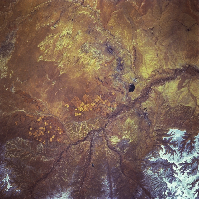
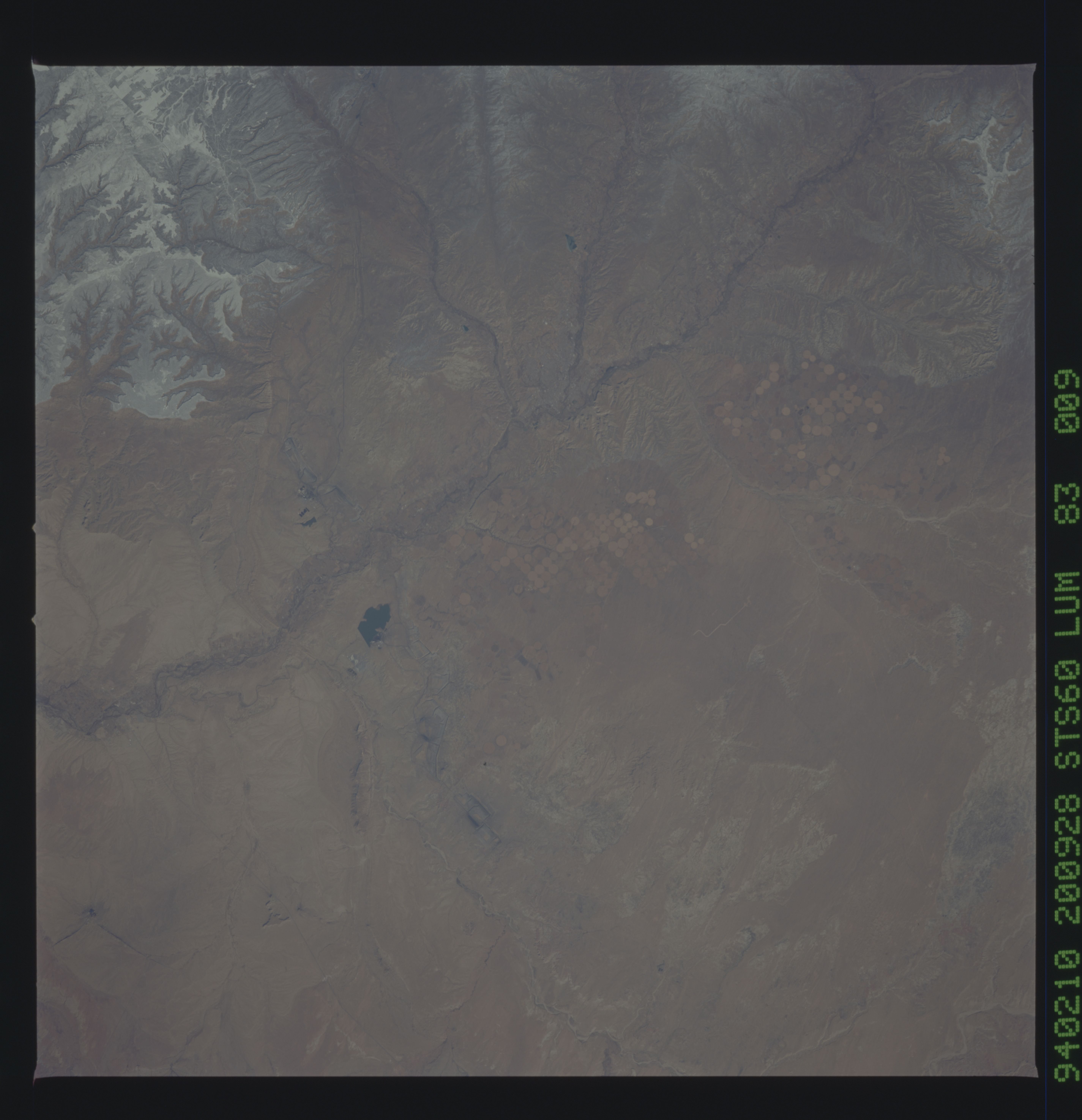
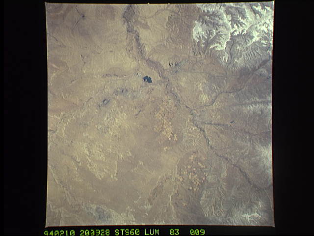
Image Caption: STS060-083-009 Farmington, New Mexico, U.S.A. February 1994
Farmington (not discernible) in extreme northwest New Mexico lies near the junction of the San Juan River, the main stream seen traversing this arid landscape, and several of its tributaries. Visible south of the river are center-pivot irrigation fields east and west of Farmington and a dark, irregular reservoir west of the city. Snow cover is discernible in the higher elevations to the northwest.
Farmington (not discernible) in extreme northwest New Mexico lies near the junction of the San Juan River, the main stream seen traversing this arid landscape, and several of its tributaries. Visible south of the river are center-pivot irrigation fields east and west of Farmington and a dark, irregular reservoir west of the city. Snow cover is discernible in the higher elevations to the northwest.
