STS060-83-25
| NASA Photo ID | STS060-83-25 |
| Focal Length | 250mm |
| Date taken | 1994.02.10 |
| Time taken | 20:10:49 GMT |
Resolutions offered for this image:
3904 x 3904 pixels 639 x 639 pixels 5700 x 5900 pixels 500 x 518 pixels 640 x 480 pixels
3904 x 3904 pixels 639 x 639 pixels 5700 x 5900 pixels 500 x 518 pixels 640 x 480 pixels
Cloud masks available for this image:
Spacecraft nadir point: 32.1° N, 104.2° W
Photo center point: 32.0° N, 106.5° W
Photo center point by machine learning:
Photo center point: 32.0° N, 106.5° W
Photo center point by machine learning:
Nadir to Photo Center: West
Spacecraft Altitude: 192 nautical miles (356km)
Country or Geographic Name: | USA-TEXAS |
Features: | CITY OF EL PASO |
| Features Found Using Machine Learning: | |
Cloud Cover Percentage: | 0 (no clouds present) |
Sun Elevation Angle: | 42° |
Sun Azimuth: | 200° |
Camera: | Hasselblad |
Focal Length: | 250mm |
Camera Tilt: | 36 degrees |
Format: | 5046: Kodak, natural color positive, Lumiere 100/5046, ASA 100, standard base |
Film Exposure: | Normal |
| Additional Information | |
| Width | Height | Annotated | Cropped | Purpose | Links |
|---|---|---|---|---|---|
| 3904 pixels | 3904 pixels | No | No | Earth From Space collection | Download Image |
| 639 pixels | 639 pixels | No | No | Earth From Space collection | Download Image |
| 5700 pixels | 5900 pixels | No | No | Download Image | |
| 500 pixels | 518 pixels | No | No | Download Image | |
| 640 pixels | 480 pixels | No | No | Download Image |
Download Packaged File
Download a Google Earth KML for this Image
View photo footprint information
Download a GeoTIFF for this photo
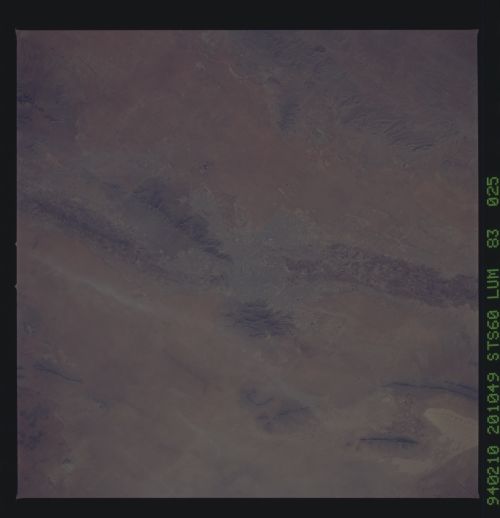
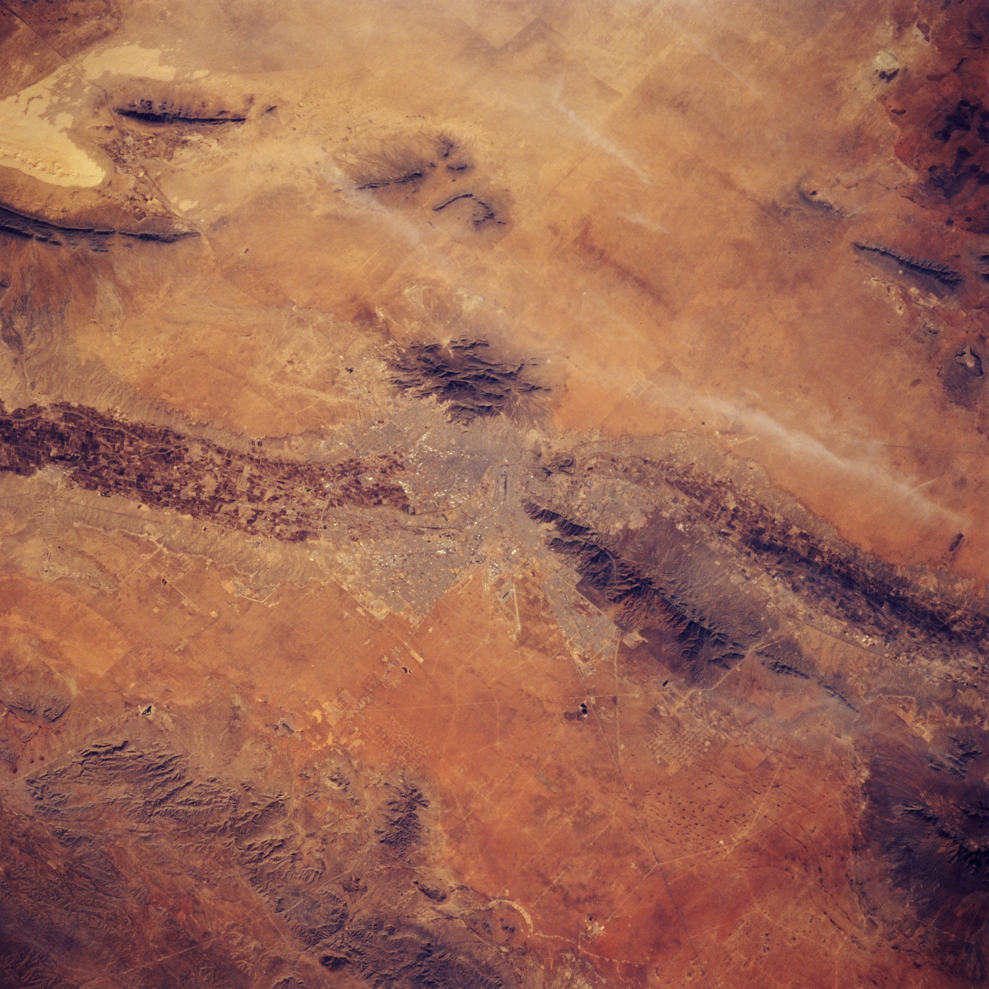
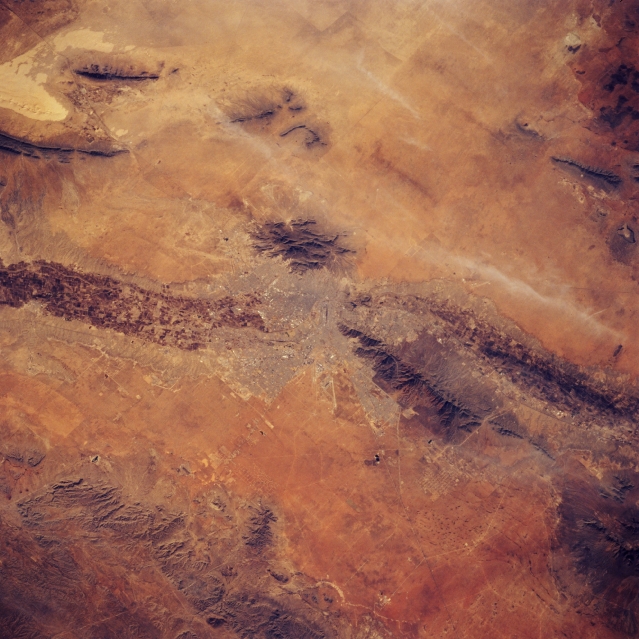
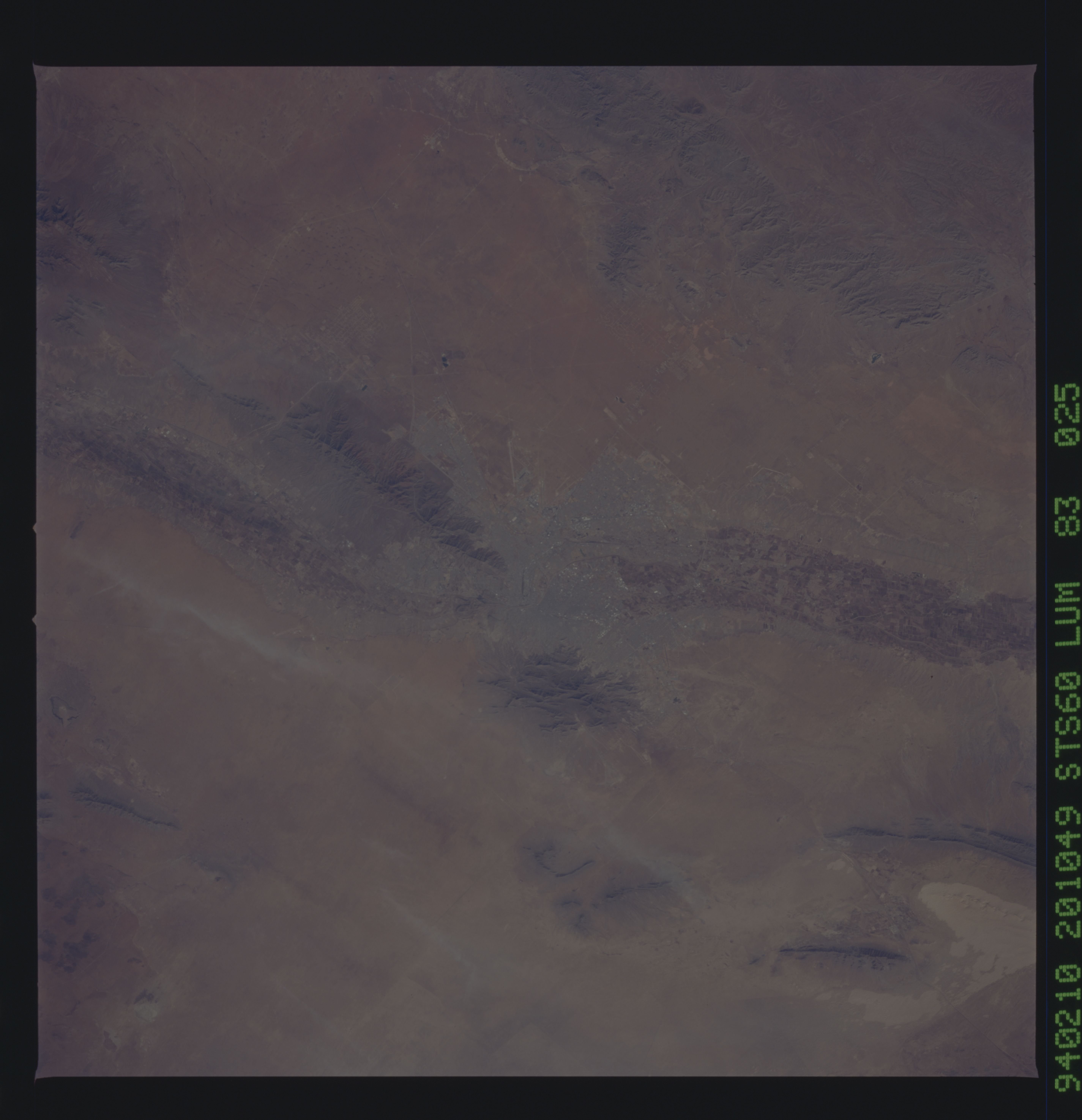
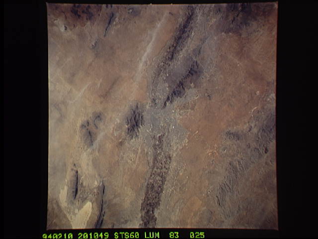
Image Caption: STS060-083-025 El Paso, Texas, U.S.A. February 1994
The northwest-to-southeast-flowing Rio Grande, which forms the border between the United States and Mexico, is easily traced across the arid landscape by the cultivated fields on its broad floodplain. Apparent are the north-south-oriented Franklin Mountains, a tilted faulted block mountain range north of El Paso; the Hueco Mountains, less than 20 miles (32 kilometers) east of El Paso; and Cuidad Juarez (center of photograph), El Paso's neighbor across the Rio Grande. South of the Rio Grande the desert environment is broken only by smaller mountains. An extensive area of sand dunes is visible near the upper left corner.
The northwest-to-southeast-flowing Rio Grande, which forms the border between the United States and Mexico, is easily traced across the arid landscape by the cultivated fields on its broad floodplain. Apparent are the north-south-oriented Franklin Mountains, a tilted faulted block mountain range north of El Paso; the Hueco Mountains, less than 20 miles (32 kilometers) east of El Paso; and Cuidad Juarez (center of photograph), El Paso's neighbor across the Rio Grande. South of the Rio Grande the desert environment is broken only by smaller mountains. An extensive area of sand dunes is visible near the upper left corner.
