STS060-75-39
| NASA Photo ID | STS060-75-39 |
| Focal Length | 250mm |
| Date taken | 1994.02.07 |
| Time taken | 08:36:38 GMT |
Resolutions offered for this image:
5700 x 5900 pixels 500 x 518 pixels 640 x 480 pixels 1310 x 1283 pixels 426 x 426 pixels
5700 x 5900 pixels 500 x 518 pixels 640 x 480 pixels 1310 x 1283 pixels 426 x 426 pixels

Cloud masks available for this image:
Spacecraft nadir point: 37.1° S, 141.6° E
Photo center point: 35.5° S, 140.5° E
Photo center point by machine learning:
Photo center point: 35.5° S, 140.5° E
Photo center point by machine learning:
Nadir to Photo Center: Northwest
Spacecraft Altitude: 190 nautical miles (352km)
Country or Geographic Name: | AUSTRALIA-SA |
Features: | FIRE SCAR, AGRICULTURE |
| Features Found Using Machine Learning: | |
Cloud Cover Percentage: | 5 (1-10)% |
Sun Elevation Angle: | 11° |
Sun Azimuth: | 259° |
Camera: | Hasselblad |
Focal Length: | 250mm |
Camera Tilt: | 32 degrees |
Format: | 5017: Kodak, natural color positive, Ektachrome, X Professional, ASA 64, standard base |
Film Exposure: | Normal |
| Additional Information | |
| Width | Height | Annotated | Cropped | Purpose | Links |
|---|---|---|---|---|---|
| 5700 pixels | 5900 pixels | No | No | Download Image | |
| 500 pixels | 518 pixels | No | No | Download Image | |
| 640 pixels | 480 pixels | No | No | Download Image | |
| 1310 pixels | 1283 pixels | No | No | Download Image | |
| 426 pixels | 426 pixels | No | No | Download Image |
Download Packaged File
Download a Google Earth KML for this Image
View photo footprint information
Download a GeoTIFF for this photo
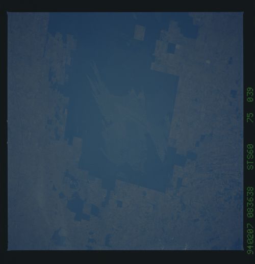
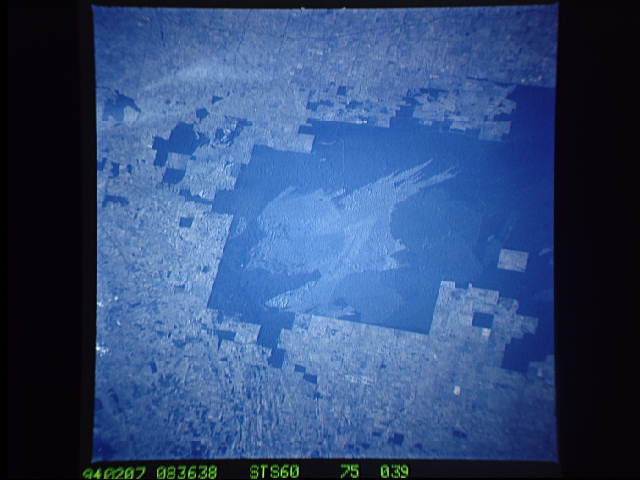
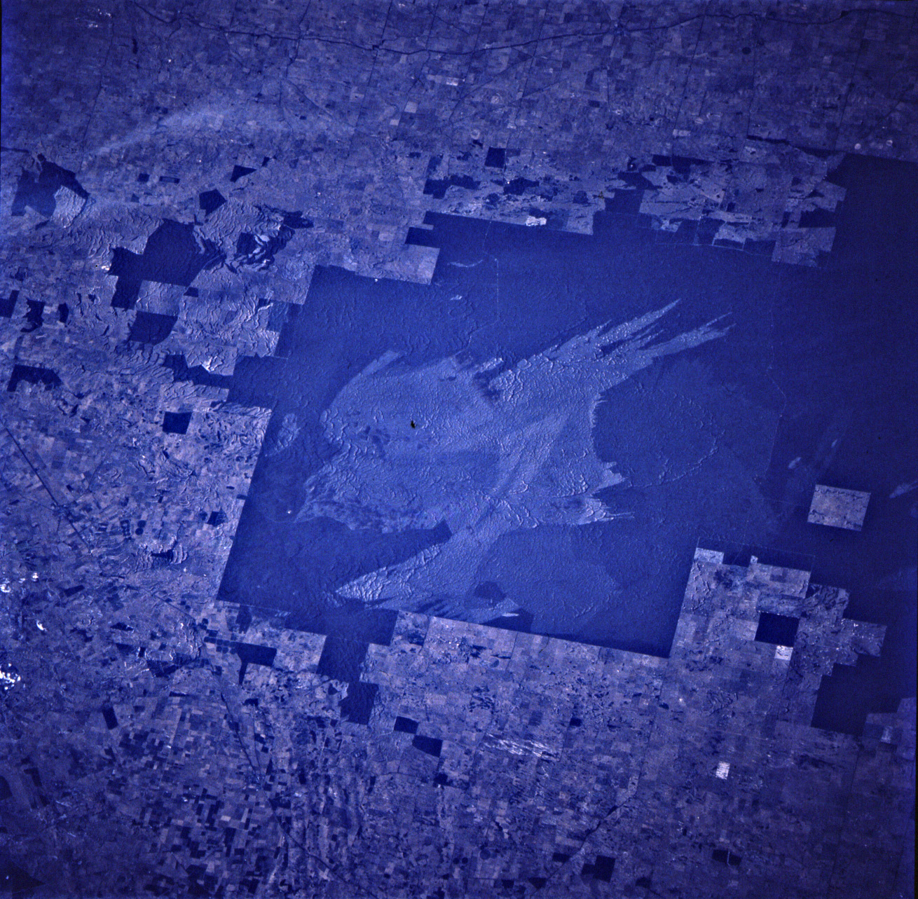
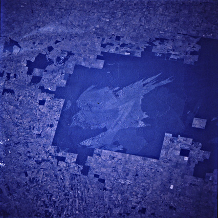
Image Caption: Parabolic dunes shown in fire scares of multiple ages, on the Western Australia/Victoria border southeast of Adelaide. Ancient shoreline ridges can be seen in the lower left corner. Ektachrome normal-color film.
Remnant patch of brushland in agricultural terrain on the Western Australia/Victoria border southeast of Adelaide. Fire scar reveals an underlying pattern of very large sand dunes that were active before the brush grew.
The rectangular green areas in this view of southern Australia are protected areas of natural forest (national parks and biospheric reserves), and the lighter surrounding colors (tan-brown) are agricultural croplands occupying land which once must have looked as green as the nature reserves but are now cleared of forest. The major green patch has been recently burned, as shown by the irregular pattern of a large, multiple burn scar. The pattern of the fire scar indicates that the fires were driven by winds blowing from left to right. Close examination of the view shows that the forests are rooted in a soil made up of a widespread sheet of ancient dune sand. The dunes can be seen best within the area of the large fire scar where the characteristic wavy, scalloped pattern of crescent dunes can be detected. The crescents indicate that the sand was heaped up by winds blowing from right to left in this view, in the opposite direction to the winds which fanned the fires.
