STS060-105-38
| NASA Photo ID | STS060-105-38 |
| Focal Length | 250mm |
| Date taken | 1994.02.05 |
| Time taken | 22:40:43 GMT |
Resolutions offered for this image:
3904 x 3904 pixels 639 x 639 pixels 5700 x 5900 pixels 500 x 518 pixels 640 x 480 pixels
3904 x 3904 pixels 639 x 639 pixels 5700 x 5900 pixels 500 x 518 pixels 640 x 480 pixels

Cloud masks available for this image:
Spacecraft nadir point: 32.4° N, 115.1° W
Photo center point: 33.0° N, 115.5° W
Photo center point by machine learning:
Photo center point: 33.0° N, 115.5° W
Photo center point by machine learning:
Nadir to Photo Center: Northwest
Spacecraft Altitude: 190 nautical miles (352km)
Country or Geographic Name: | USA-CALIFORNIA |
Features: | SALTON SEA, AGRICULTURE |
| Features Found Using Machine Learning: | |
Cloud Cover Percentage: | 5 (1-10)% |
Sun Elevation Angle: | 28° |
Sun Azimuth: | 226° |
Camera: | Hasselblad |
Focal Length: | 250mm |
Camera Tilt: | 13 degrees |
Format: | SN-10: Russian Color Infrared,2 dye layer, est. ASA 64,chlorophyl response is green |
Film Exposure: | Normal |
| Additional Information | |
| Width | Height | Annotated | Cropped | Purpose | Links |
|---|---|---|---|---|---|
| 3904 pixels | 3904 pixels | No | No | Earth From Space collection | Download Image |
| 639 pixels | 639 pixels | No | No | Earth From Space collection | Download Image |
| 5700 pixels | 5900 pixels | No | No | Download Image | |
| 500 pixels | 518 pixels | No | No | Download Image | |
| 640 pixels | 480 pixels | No | No | Download Image |
Download Packaged File
Download a Google Earth KML for this Image
View photo footprint information
Download a GeoTIFF for this photo
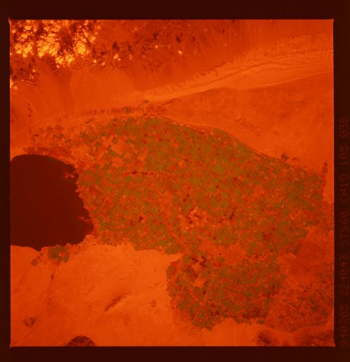
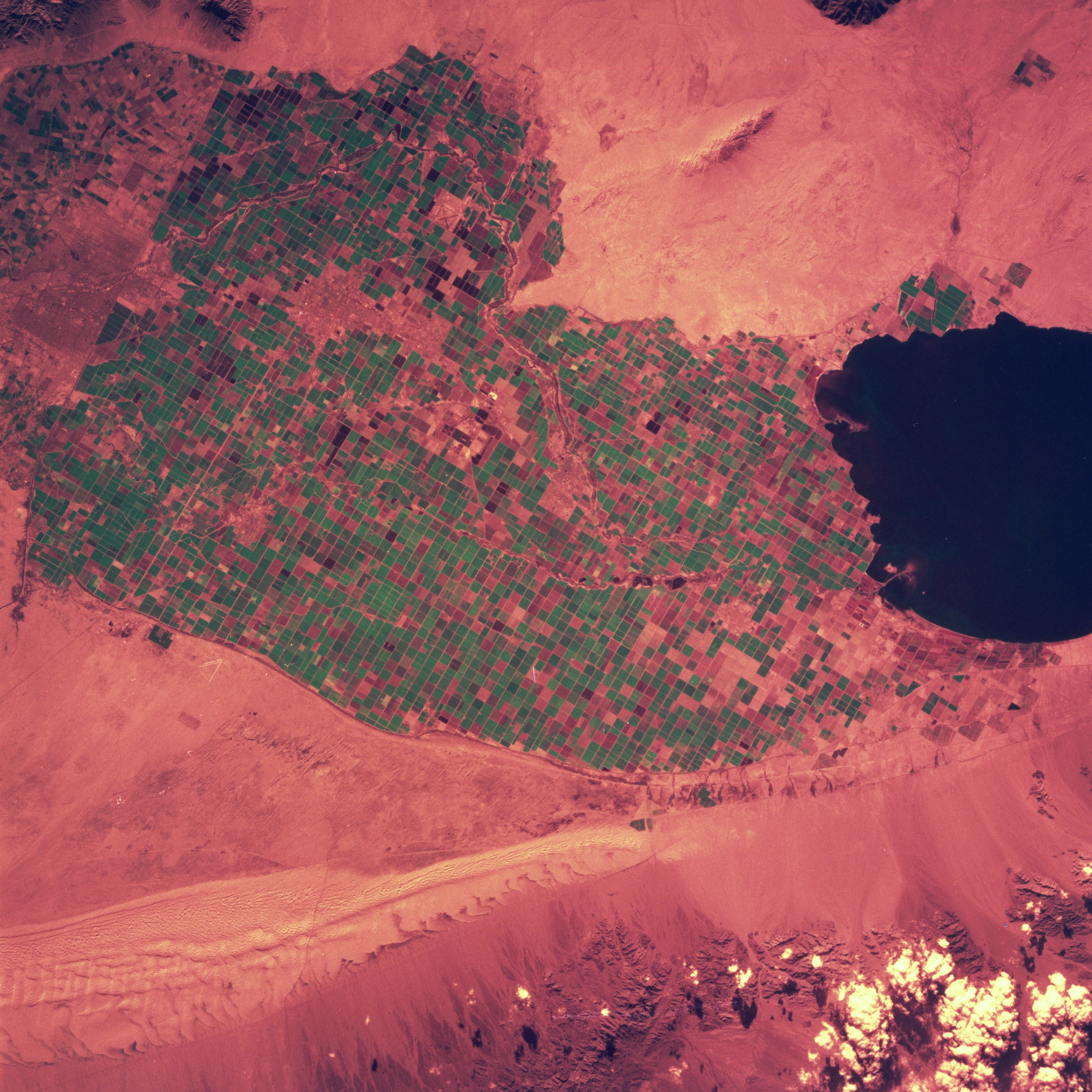
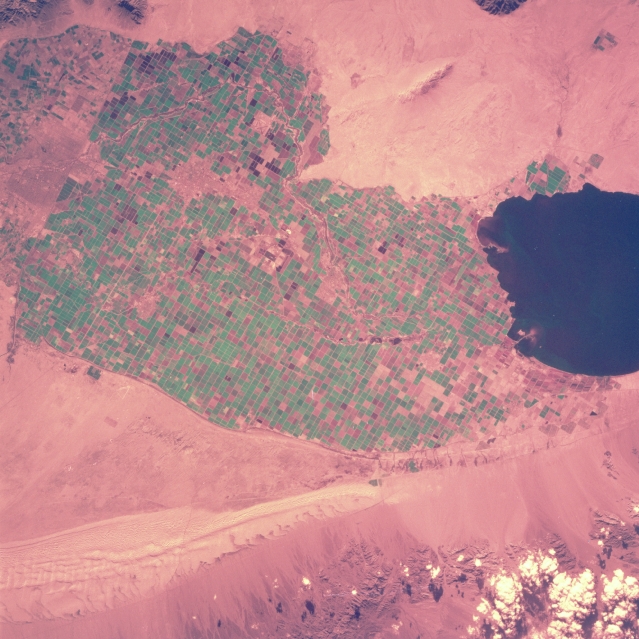
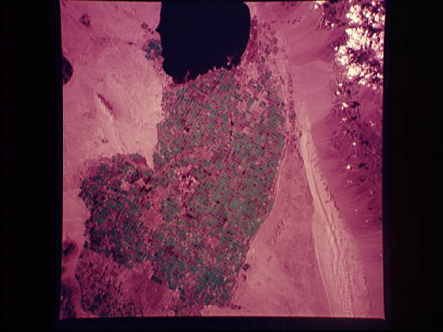
Image Caption: STS060-105-038 Imperial Valley, California, U.S.A. February 1994
This color infrared photograph and STS-060-101-038 show the same features of the Imperial Valley (irrigated field patterns; U.S.-Mexico border; urban areas; Sand Hills; and the Salton Sea); however, two different types of film were used. The Russian film in this photograph recorded vegetation and field patterns in green; whereas, STS-060-101-038 was created with color infrared film showing vegetation in shades of red.
This color infrared photograph and STS-060-101-038 show the same features of the Imperial Valley (irrigated field patterns; U.S.-Mexico border; urban areas; Sand Hills; and the Salton Sea); however, two different types of film were used. The Russian film in this photograph recorded vegetation and field patterns in green; whereas, STS-060-101-038 was created with color infrared film showing vegetation in shades of red.
