STS059-89-32
| NASA Photo ID | STS059-89-32 |
| Focal Length | 250mm |
| Date taken | 1994.04.10 |
| Time taken | 20:06:08 GMT |
Resolutions offered for this image:
3899 x 3869 pixels 639 x 635 pixels 5700 x 5900 pixels 500 x 518 pixels 640 x 480 pixels
3899 x 3869 pixels 639 x 635 pixels 5700 x 5900 pixels 500 x 518 pixels 640 x 480 pixels
Cloud masks available for this image:
Spacecraft nadir point: 46.3° N, 105.5° W
Photo center point: 48.0° N, 102.5° W
Photo center point by machine learning:
Photo center point: 48.0° N, 102.5° W
Photo center point by machine learning:
Nadir to Photo Center: Northeast
Spacecraft Altitude: 119 nautical miles (220km)
Country or Geographic Name: | USA-NORTH DAKOTA |
Features: | SAKAKAWEA LAKE |
| Features Found Using Machine Learning: | |
Cloud Cover Percentage: | 0 (no clouds present) |
Sun Elevation Angle: | 50° |
Sun Azimuth: | 204° |
Camera: | Hasselblad |
Focal Length: | 250mm |
Camera Tilt: | Low Oblique |
Format: | 5046: Kodak, natural color positive, Lumiere 100/5046, ASA 100, standard base |
Film Exposure: | Normal |
| Additional Information | |
| Width | Height | Annotated | Cropped | Purpose | Links |
|---|---|---|---|---|---|
| 3899 pixels | 3869 pixels | No | No | Earth From Space collection | Download Image |
| 639 pixels | 635 pixels | No | No | Earth From Space collection | Download Image |
| 5700 pixels | 5900 pixels | No | No | Download Image | |
| 500 pixels | 518 pixels | No | No | Download Image | |
| 640 pixels | 480 pixels | No | No | Download Image |
Download Packaged File
Download a Google Earth KML for this Image
View photo footprint information
Download a GeoTIFF for this photo
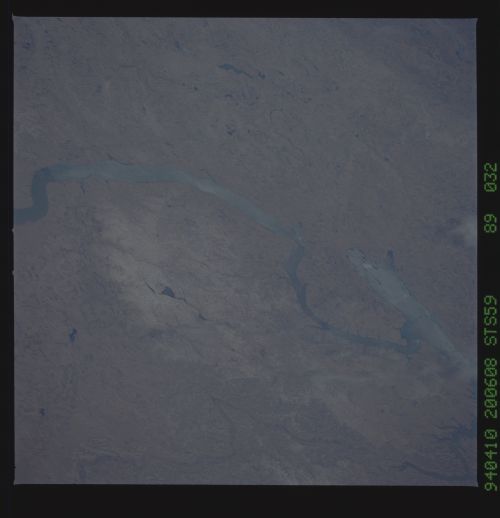
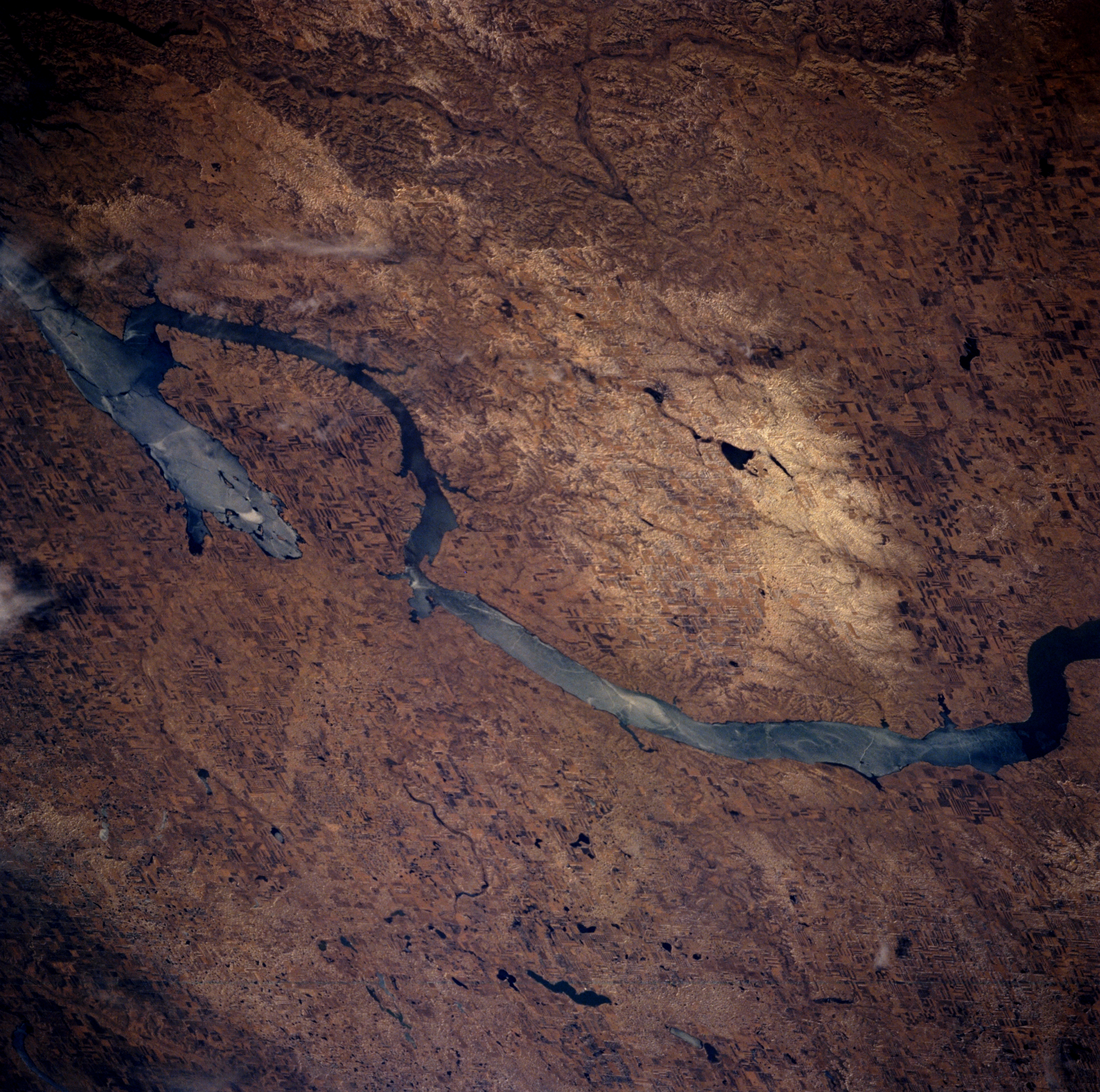
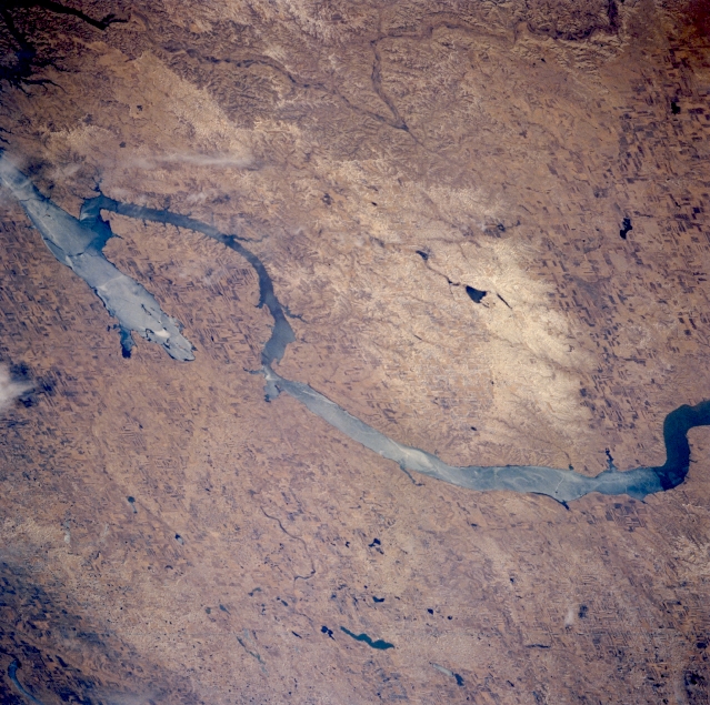
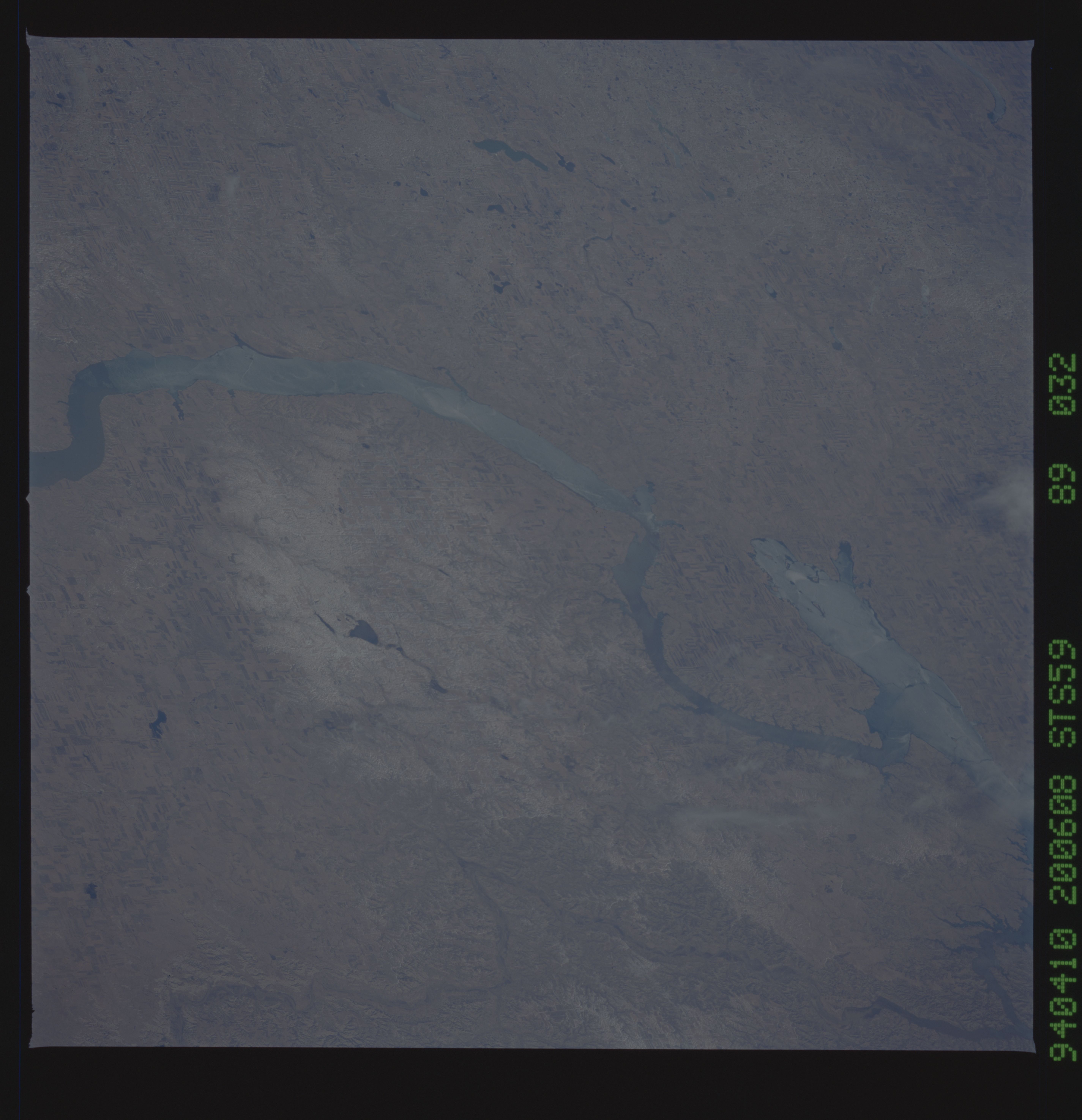
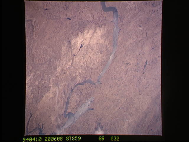
Image Caption: STS059-089-032 Lake Sakakawea, North Dakota, U.S.A. April 1994
Featured in this south-looking, low-oblique photograph is light blue, partially ice-covered Lake Sakakawea, the largest lake in North Dakota. Extending from Garrison Dam (not visible) to near Williston (not visible), Lake Sakakawea is approximately 200 miles (322 kilometers) long, has approximately 1600 miles (2576 kilometers) of shoreline, and provides irrigation for agriculture and recreation. Van Hook Arm is located within the Fort Berthold Indian Reservation. During the ice age, the Missouri River was the boundary between glaciation to the north and east and ice-free topography to the south and west. Visible are the Little Missouri River within the Bad Lands and the southwest portion of the Turtle Mountains.
Featured in this south-looking, low-oblique photograph is light blue, partially ice-covered Lake Sakakawea, the largest lake in North Dakota. Extending from Garrison Dam (not visible) to near Williston (not visible), Lake Sakakawea is approximately 200 miles (322 kilometers) long, has approximately 1600 miles (2576 kilometers) of shoreline, and provides irrigation for agriculture and recreation. Van Hook Arm is located within the Fort Berthold Indian Reservation. During the ice age, the Missouri River was the boundary between glaciation to the north and east and ice-free topography to the south and west. Visible are the Little Missouri River within the Bad Lands and the southwest portion of the Turtle Mountains.
