STS059-85-72
| NASA Photo ID | STS059-85-72 |
| Focal Length | 100mm |
| Date taken | 1994.04.11 |
| Time taken | 16:42:33 GMT |
Cloud masks available for this image:
Spacecraft nadir point: 57.1° N, 106.2° W
Photo center point: 56.0° N, 103.0° W
Photo center point by machine learning:
Photo center point: 56.0° N, 103.0° W
Photo center point by machine learning:
Nadir to Photo Center: East
Spacecraft Altitude: 118 nautical miles (219km)
Country or Geographic Name: | CANADA-S |
Features: | NEAR REINDEER LAKE |
| Features Found Using Machine Learning: | |
Cloud Cover Percentage: | 40 (26-50)% |
Sun Elevation Angle: | 34° |
Sun Azimuth: | 136° |
Camera: | Hasselblad |
Focal Length: | 100mm |
Camera Tilt: | Low Oblique |
Format: | 5046: Kodak, natural color positive, Lumiere 100/5046, ASA 100, standard base |
Film Exposure: | Normal |
| Additional Information | |
| Width | Height | Annotated | Cropped | Purpose | Links |
|---|---|---|---|---|---|
| 5700 pixels | 5900 pixels | No | No | Download Image | |
| 500 pixels | 518 pixels | No | No | Download Image | |
| 640 pixels | 480 pixels | No | No | Download Image |
Download Packaged File
Download a Google Earth KML for this Image
View photo footprint information
Download a GeoTIFF for this photo
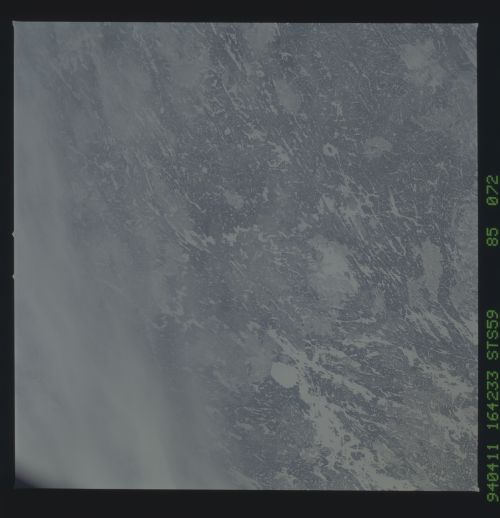
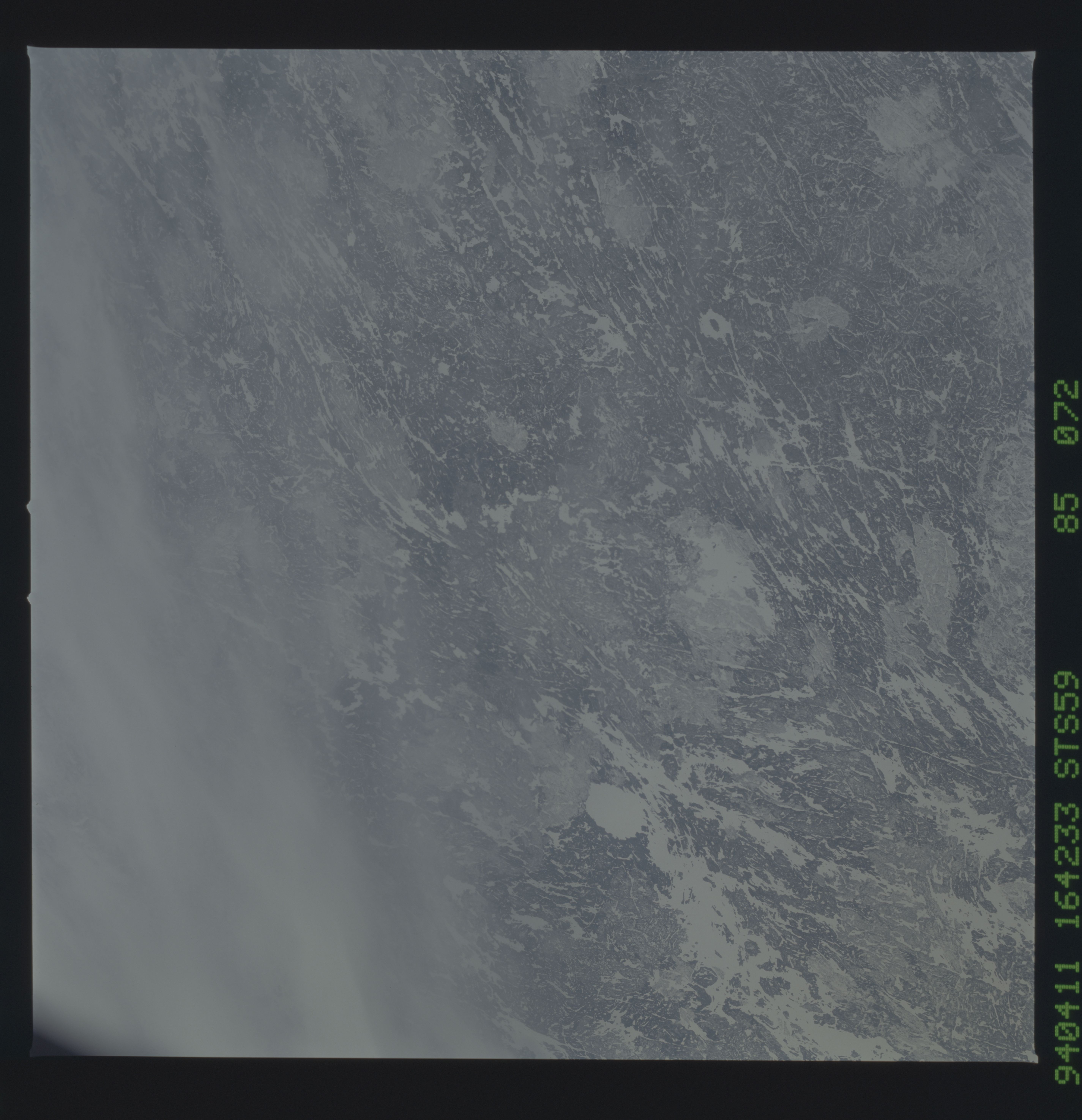
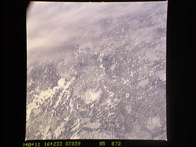
Image Caption: STS059-85-72 Deep Bay and Gow Impact Craters
Deep Bay and Gow impact craters are visible in the Canadian Shield of
Saskatchewan, Canada. Deep Bay is the circular frozen lake left of
center and has a diameter of 12 km. Gow crater is also circular with a
central peak and is below right of center, with a diameter of 5 km.
North is bottom center in this view. Deep Bay is approximately 100 +/-
50 m.y. old, while Gow is estimated to be less than 250 m.y. old.
T576D&E
