STS059-222-46
| NASA Photo ID | STS059-222-46 |
| Focal Length | 100mm |
| Date taken | 1994.04.17 |
| Time taken | 17:50:04 GMT |
Resolutions offered for this image:
3904 x 3904 pixels 639 x 639 pixels 5700 x 5900 pixels 500 x 518 pixels 640 x 480 pixels
3904 x 3904 pixels 639 x 639 pixels 5700 x 5900 pixels 500 x 518 pixels 640 x 480 pixels
Cloud masks available for this image:
Spacecraft nadir point: 37.4° N, 98.8° W
Photo center point: 37.5° N, 98.5° W
Photo center point by machine learning:
Photo center point: 37.5° N, 98.5° W
Photo center point by machine learning:
Nadir to Photo Center: East
Spacecraft Altitude: 113 nautical miles (209km)
Country or Geographic Name: | USA-KANSAS |
Features: | RESERVIORS, AGR., CY. |
| Features Found Using Machine Learning: | |
Cloud Cover Percentage: | 0 (no clouds present) |
Sun Elevation Angle: | 62° |
Sun Azimuth: | 156° |
Camera: | Hasselblad |
Focal Length: | 100mm |
Camera Tilt: | 10 degrees |
Format: | 5048: Kodak, natural color positive, Lumiere 100x/5048, ASA 100x, standard base |
Film Exposure: | Normal |
| Additional Information | |
| Width | Height | Annotated | Cropped | Purpose | Links |
|---|---|---|---|---|---|
| 3904 pixels | 3904 pixels | No | No | Earth From Space collection | Download Image |
| 639 pixels | 639 pixels | No | No | Earth From Space collection | Download Image |
| 5700 pixels | 5900 pixels | No | No | Download Image | |
| 500 pixels | 518 pixels | No | No | Download Image | |
| 640 pixels | 480 pixels | No | No | Download Image |
Download Packaged File
Download a Google Earth KML for this Image
View photo footprint information
Download a GeoTIFF for this photo
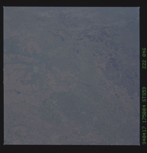
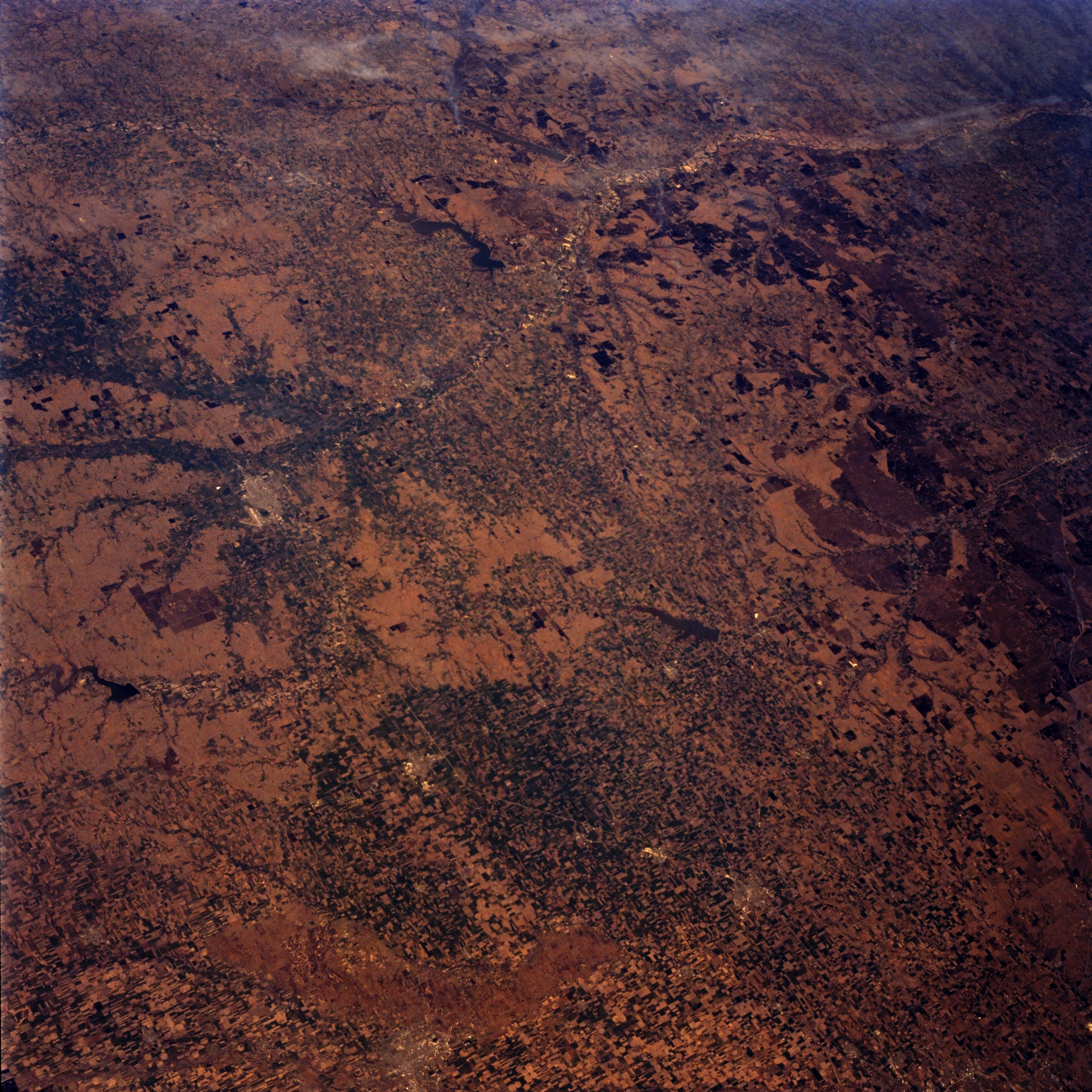
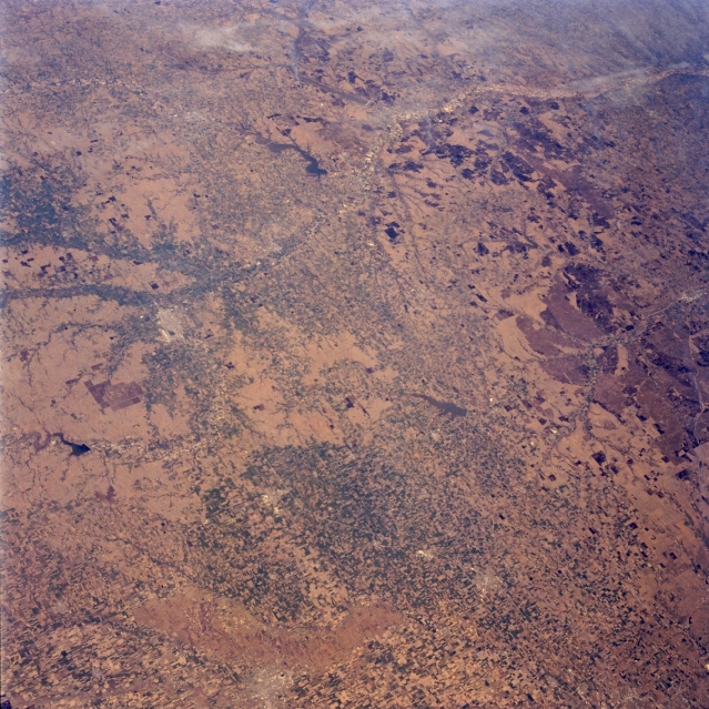
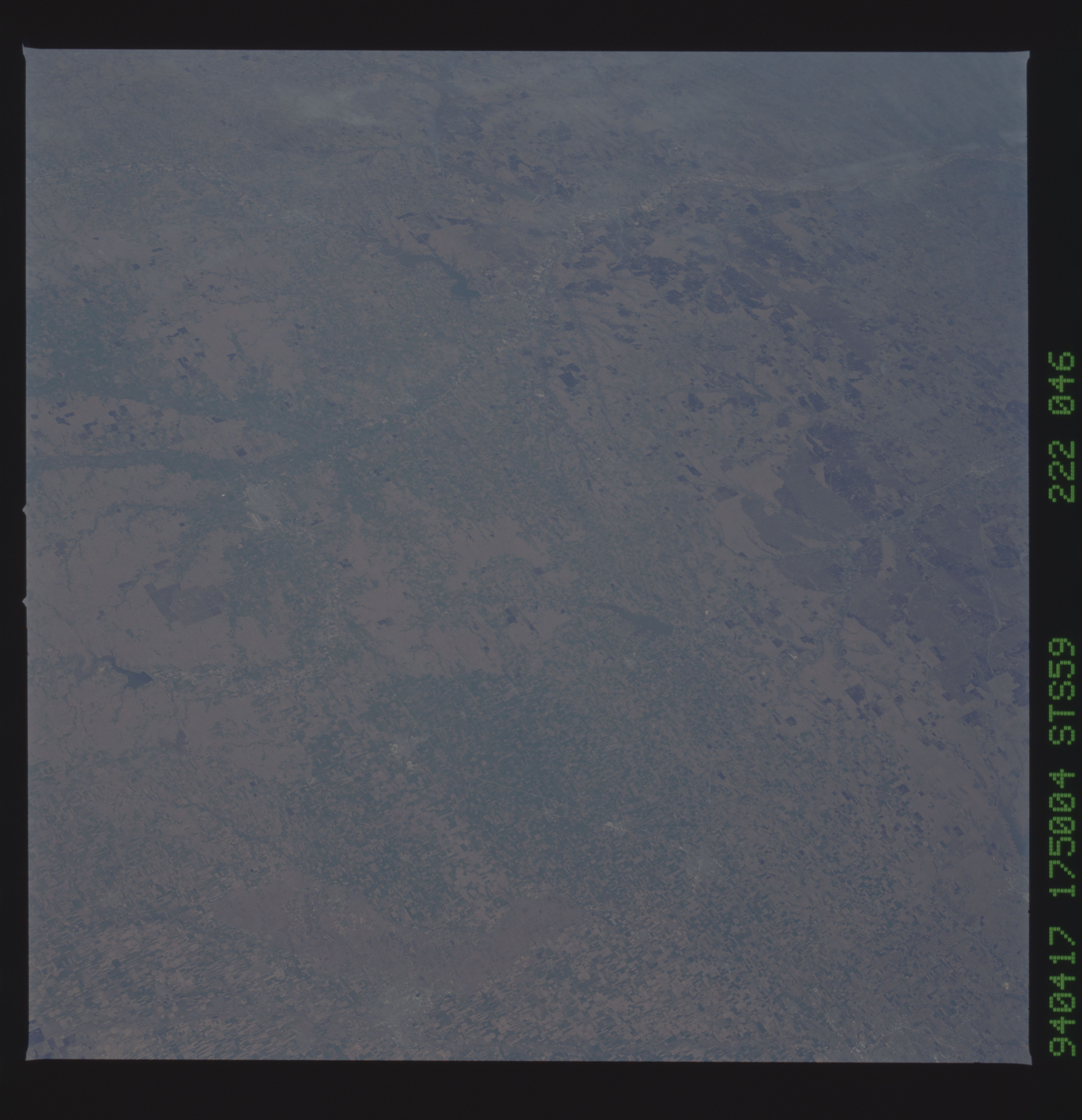
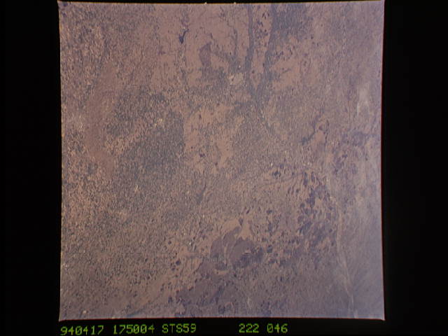
Image Caption: STS059-222-046 Central Kansas, U.S.A April 1994
Agricultural fields, river valleys, and the grasslands of the Flint Hills are apparent in this panoramic, northeast-looking, low-oblique photograph of central Kansas. Barely discernible is the Kansas River Valley. Visible from north to south are Milford Lake north of Junction City, the Smoky Hill River Valley east of Salina, and scattered agricultural fields between Salina and Newton.
Agricultural fields, river valleys, and the grasslands of the Flint Hills are apparent in this panoramic, northeast-looking, low-oblique photograph of central Kansas. Barely discernible is the Kansas River Valley. Visible from north to south are Milford Lake north of Junction City, the Smoky Hill River Valley east of Salina, and scattered agricultural fields between Salina and Newton.
