STS059-216-78

| NASA Photo ID | STS059-216-78 |
| Focal Length | 250mm |
| Date taken | 1994.04.12 |
| Time taken | 16:31:38 GMT |
Resolutions offered for this image:
3904 x 3869 pixels 639 x 634 pixels 5700 x 5900 pixels 500 x 518 pixels 640 x 480 pixels
3904 x 3869 pixels 639 x 634 pixels 5700 x 5900 pixels 500 x 518 pixels 640 x 480 pixels
Cloud masks available for this image:
Spacecraft nadir point: 45.1° N, 60.6° W
Photo center point: 45.0° N, 61.5° W
Photo center point by machine learning:
Photo center point: 45.0° N, 61.5° W
Photo center point by machine learning:
Nadir to Photo Center: West
Spacecraft Altitude: 117 nautical miles (217km)
Country or Geographic Name: | CANADA-NS |
Features: | CHEDOBUCTO BAY AREA |
| Features Found Using Machine Learning: | |
Cloud Cover Percentage: | 0 (no clouds present) |
Sun Elevation Angle: | 53° |
Sun Azimuth: | 192° |
Camera: | Hasselblad |
Focal Length: | 250mm |
Camera Tilt: | 25 degrees |
Format: | 5048: Kodak, natural color positive, Lumiere 100x/5048, ASA 100x, standard base |
Film Exposure: | Normal |
| Additional Information | |
| Width | Height | Annotated | Cropped | Purpose | Links |
|---|---|---|---|---|---|
| 3904 pixels | 3869 pixels | No | No | Earth From Space collection | Download Image |
| 639 pixels | 634 pixels | No | No | Earth From Space collection | Download Image |
| 5700 pixels | 5900 pixels | No | No | Download Image | |
| 500 pixels | 518 pixels | No | No | Download Image | |
| 640 pixels | 480 pixels | No | No | Download Image |
Download Packaged File
Download a Google Earth KML for this Image
View photo footprint information
Download a GeoTIFF for this photo
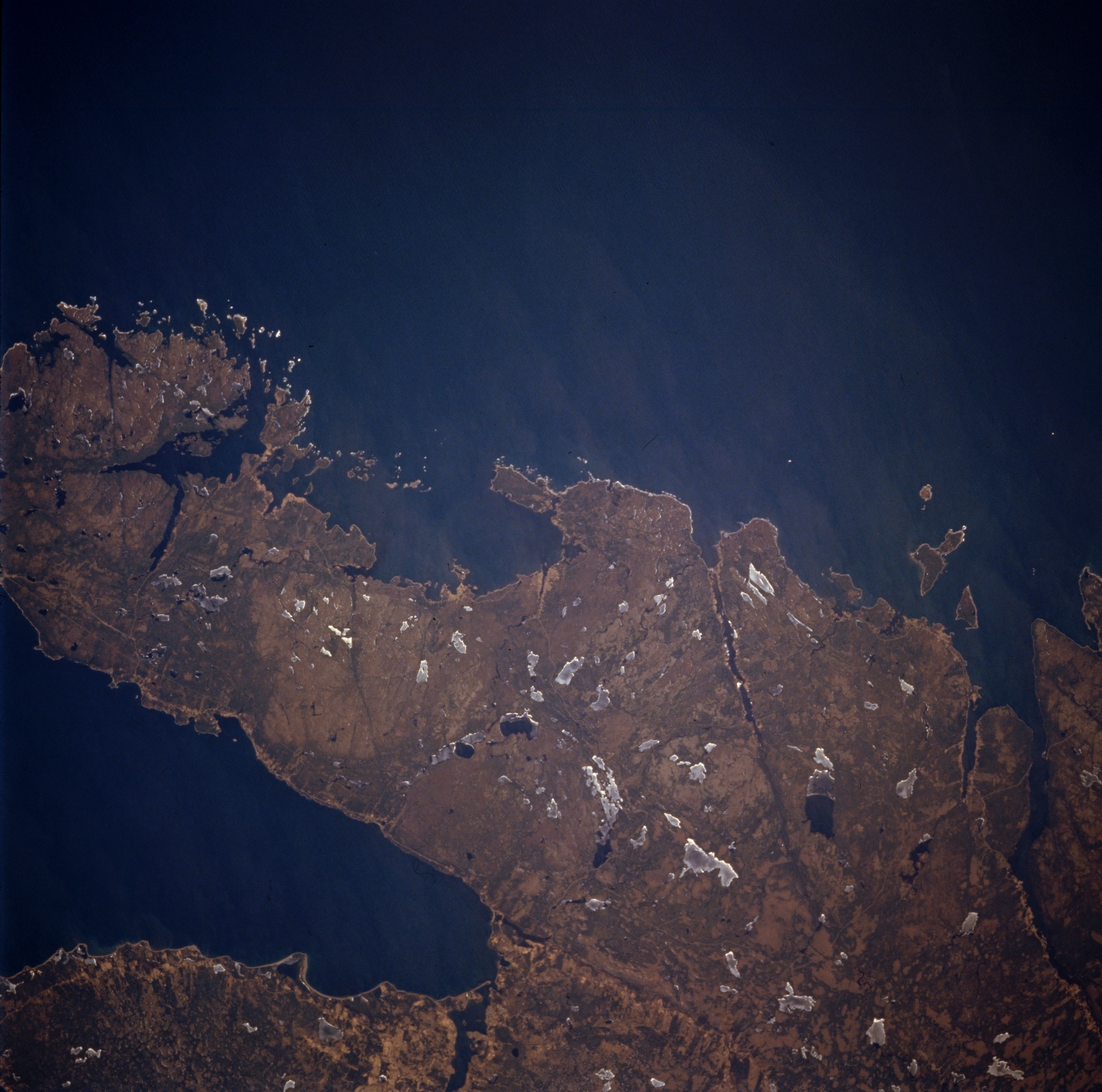
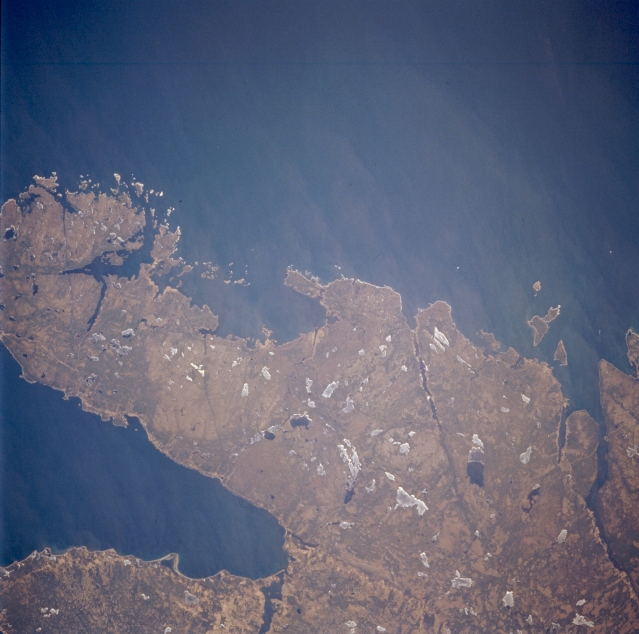
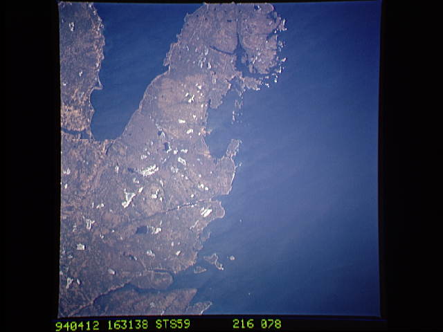
Image Caption: STS059-216-078 Chedabucto Bay, Nova Scotia, Canada April 1994
Most of the land shown in this picture is an easterly pointing peninsula that is located between the Atlantic Ocean (top) and the Chedabucto Bay (lower left). Numerous lakes, varying in size, are scattered across the landscape. Many are still covered with ice (whitish looking features); while a few lakes (darker, irregular shaped features) show open water.
Most of the land shown in this picture is an easterly pointing peninsula that is located between the Atlantic Ocean (top) and the Chedabucto Bay (lower left). Numerous lakes, varying in size, are scattered across the landscape. Many are still covered with ice (whitish looking features); while a few lakes (darker, irregular shaped features) show open water.
