STS059-203-93

| NASA Photo ID | STS059-203-93 |
| Focal Length | 100mm |
| Date taken | 1994.04.__ |
| Time taken | GMT |
Resolutions offered for this image:
3936 x 3872 pixels 639 x 629 pixels 5700 x 5900 pixels 500 x 518 pixels 640 x 480 pixels
3936 x 3872 pixels 639 x 629 pixels 5700 x 5900 pixels 500 x 518 pixels 640 x 480 pixels
Cloud masks available for this image:
Spacecraft nadir point:
Photo center point: 24.0° S, 143.0° E
Photo center point by machine learning:
Photo center point: 24.0° S, 143.0° E
Photo center point by machine learning:
Nadir to Photo Center:
Spacecraft Altitude: nautical miles (0km)
Country or Geographic Name: | AUSTRALIA-Q |
Features: | DIAMANTINA RIVER |
| Features Found Using Machine Learning: | |
Cloud Cover Percentage: | 0 (no clouds present) |
Sun Elevation Angle: | ° |
Sun Azimuth: | ° |
Camera: | Hasselblad |
Focal Length: | 100mm |
Camera Tilt: | Low Oblique |
Format: | 5048: Kodak, natural color positive, Lumiere 100x/5048, ASA 100x, standard base |
Film Exposure: | Normal |
| Additional Information | |
| Width | Height | Annotated | Cropped | Purpose | Links |
|---|---|---|---|---|---|
| 3936 pixels | 3872 pixels | No | No | Earth From Space collection | Download Image |
| 639 pixels | 629 pixels | No | No | Earth From Space collection | Download Image |
| 5700 pixels | 5900 pixels | No | No | Download Image | |
| 500 pixels | 518 pixels | No | No | Download Image | |
| 640 pixels | 480 pixels | No | No | Download Image |
Download Packaged File
Download a Google Earth KML for this Image
View photo footprint information
Download a GeoTIFF for this photo
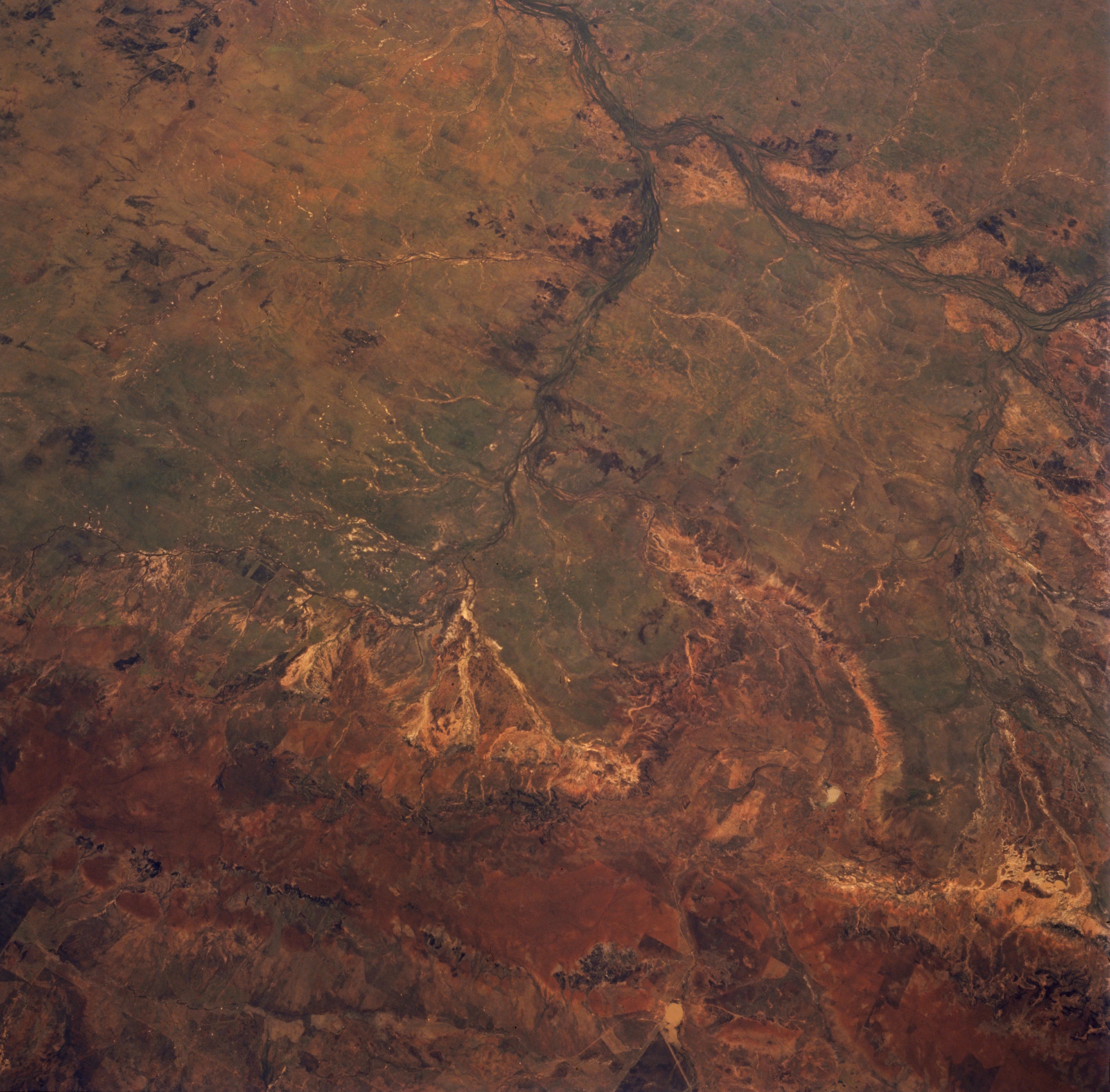
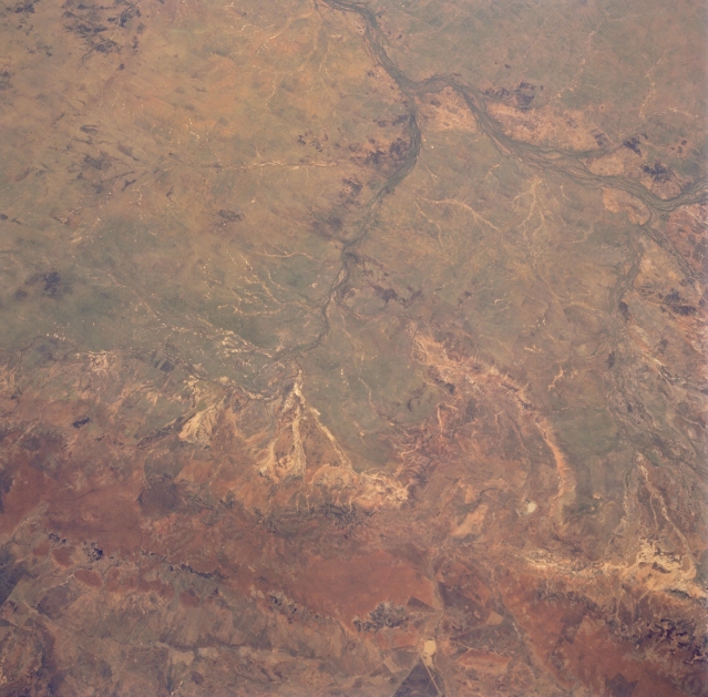
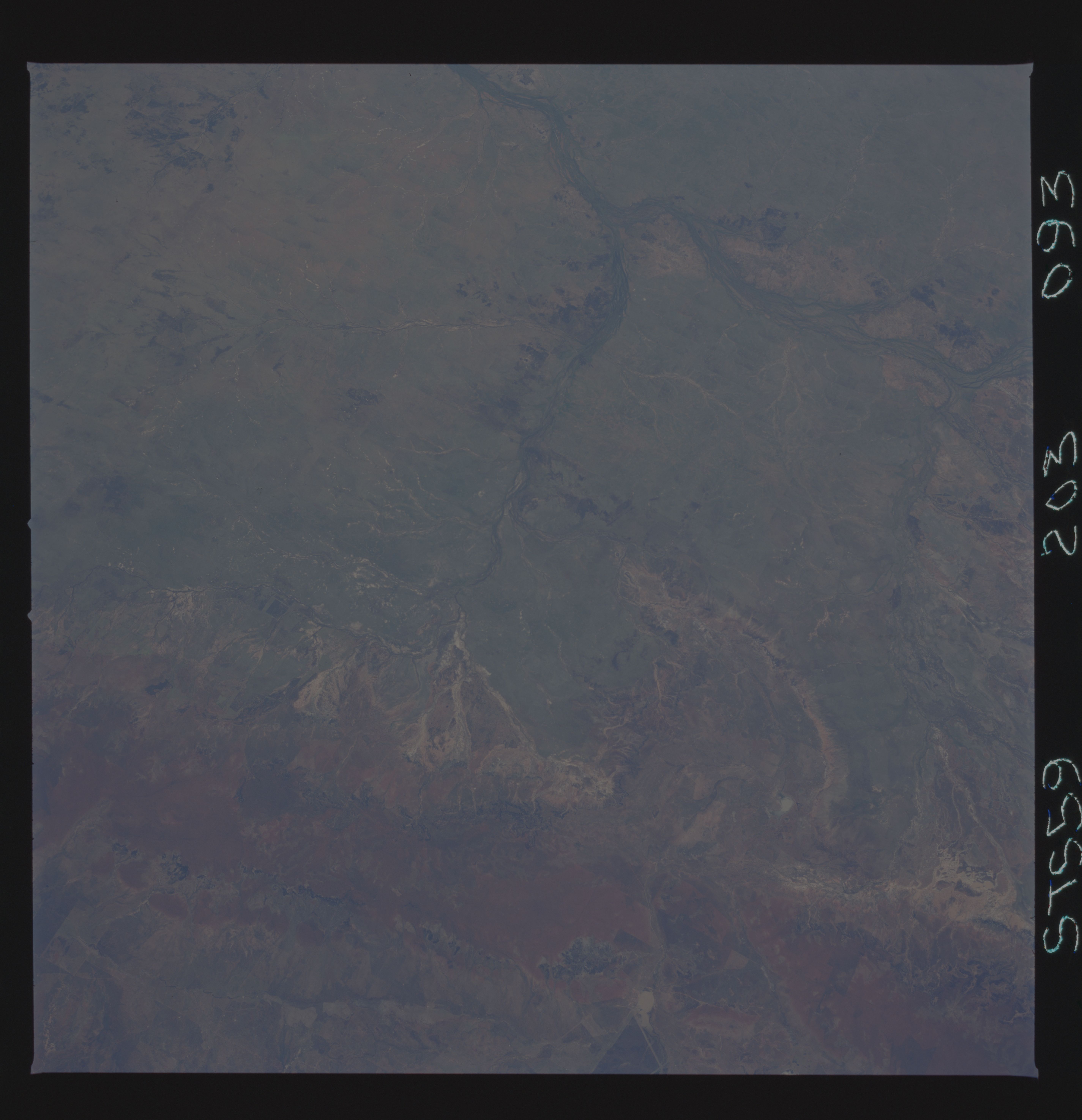
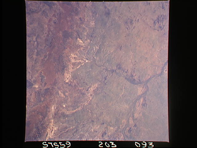
Image Caption: STS059-203-093 Aramac Creek, Queensland, Australia April 1994
Numerous tributaries, including Aramac Creek (center of image), can be traced across the semiarid landscape as they drain westward into the Thomson River (top right) northeast of the Outback city of Longreach (just off the image at top center). The general location of the smaller central Queensland town, Aramac, can be ascertained by its location along the Aramac Creek. Most of this part of the Great Artesian Basin consists of grassy plains with a few rounded hills scattered throughout the landscape. There are no perennial streams in any of the interior drainage basins of arid central Australia. When it does rain streams may flow for hours, days, or rarely for as long as a month. The broad reddish swath of terrain across the bottom of the photo is part of the Great Dividing Range of mountains.
Numerous tributaries, including Aramac Creek (center of image), can be traced across the semiarid landscape as they drain westward into the Thomson River (top right) northeast of the Outback city of Longreach (just off the image at top center). The general location of the smaller central Queensland town, Aramac, can be ascertained by its location along the Aramac Creek. Most of this part of the Great Artesian Basin consists of grassy plains with a few rounded hills scattered throughout the landscape. There are no perennial streams in any of the interior drainage basins of arid central Australia. When it does rain streams may flow for hours, days, or rarely for as long as a month. The broad reddish swath of terrain across the bottom of the photo is part of the Great Dividing Range of mountains.
