STS059-154-167
| NASA Photo ID | STS059-154-167 |
| Focal Length | 250mm |
| Date taken | 1994.04.11 |
| Time taken | 21:20:38 GMT |
Cloud masks available for this image:
Spacecraft nadir point: 34.8° N, 114.4° W
Photo center point: 34.0° N, 115.5° W
Photo center point by machine learning:
Photo center point: 34.0° N, 115.5° W
Photo center point by machine learning:
Nadir to Photo Center: Southwest
Spacecraft Altitude: 119 nautical miles (220km)
Country or Geographic Name: | USA-CALIFORNIA |
Features: | MOJAVE DES, SALT PANS, MTS |
| Features Found Using Machine Learning: | |
Cloud Cover Percentage: | 0 (no clouds present) |
Sun Elevation Angle: | 55° |
Sun Azimuth: | 228° |
Camera: | Linhof |
Focal Length: | 250mm |
Camera Tilt: | 34 degrees |
Format: | 5046: Kodak, natural color positive, Lumiere 100/5046, ASA 100, standard base |
Film Exposure: | Normal |
| Additional Information | |
| Width | Height | Annotated | Cropped | Purpose | Links |
|---|---|---|---|---|---|
| 5056 pixels | 3968 pixels | No | No | Earth From Space collection | Download Image |
| 640 pixels | 502 pixels | No | No | Earth From Space collection | Download Image |
| 640 pixels | 480 pixels | No | No | ISD 1 | Download Image |
Download Packaged File
Download a Google Earth KML for this Image
View photo footprint information
Download a GeoTIFF for this photo
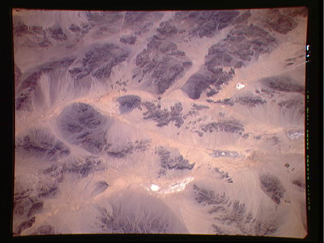
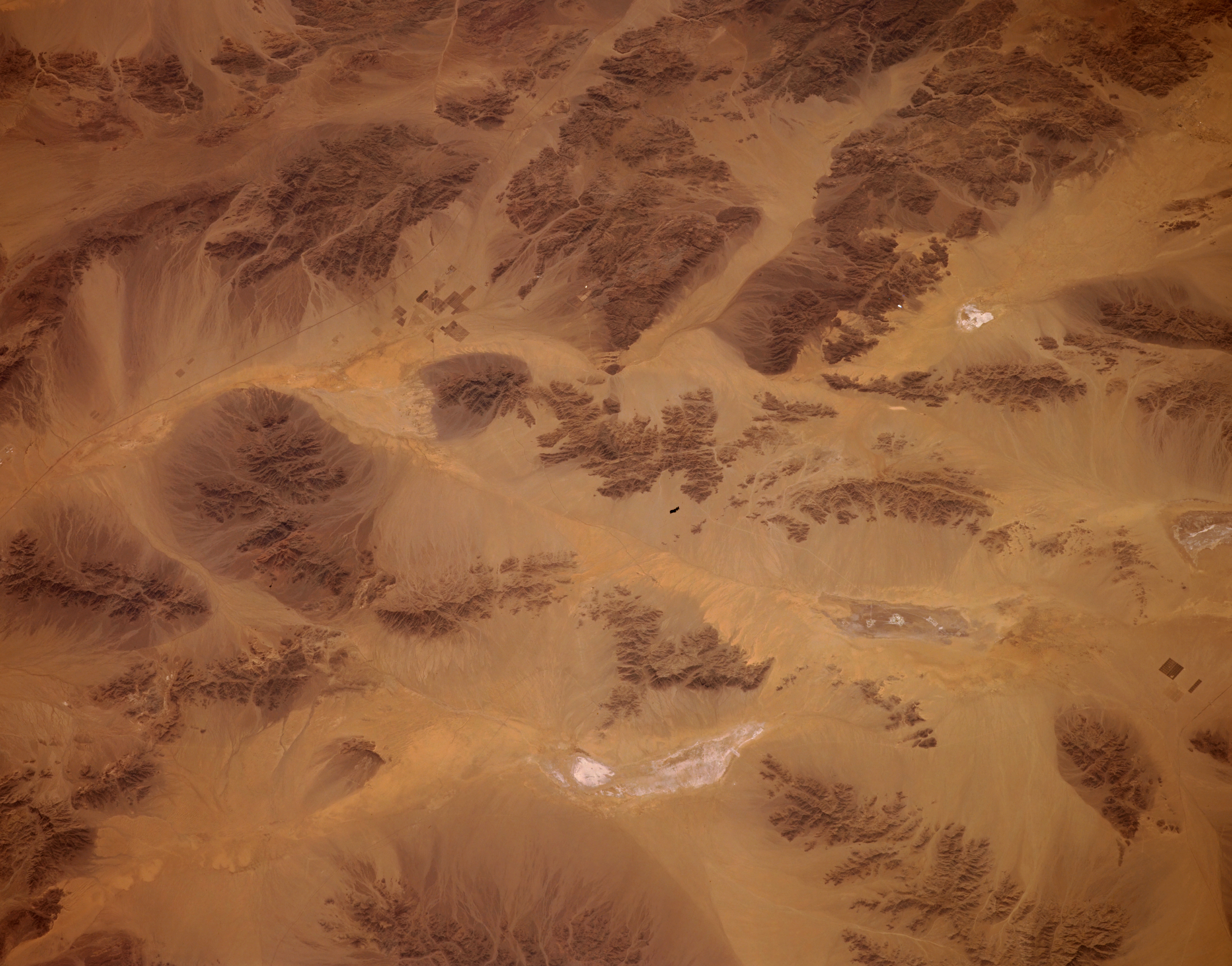
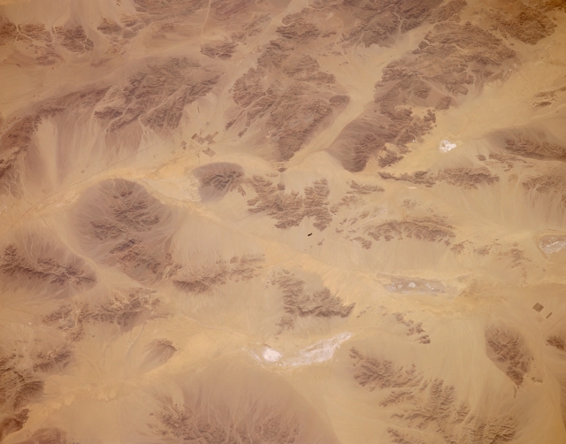
Image Caption: STS059-154-167 Joshua Tree National Monument, Southern California, U.S.A. April 1994
Few signs of human activity appear in this desert photograph of southeastern California. Recognizing and mapping various dry lakebeds with their highly reflective surfaces and dark, small mountains provide the only method for navigation through such landscapes. The section of Interstate Highway 10 that connects Blythe and Indio, California, is visible as a thin, dark line in the upper left section of the photograph. A few isolated, rectangular field patterns are discernible north of the highway and west of Palen Lake, a dry lakebed. This is also the approximate location of Desert Center, a very small desert town. Several rectangular fields and a thin line, which is probably a railroad right-of-way, indicate the approximate location of Cadiz, another small desert town north of Desert Center, near the lower right edge of the photograph.
Few signs of human activity appear in this desert photograph of southeastern California. Recognizing and mapping various dry lakebeds with their highly reflective surfaces and dark, small mountains provide the only method for navigation through such landscapes. The section of Interstate Highway 10 that connects Blythe and Indio, California, is visible as a thin, dark line in the upper left section of the photograph. A few isolated, rectangular field patterns are discernible north of the highway and west of Palen Lake, a dry lakebed. This is also the approximate location of Desert Center, a very small desert town. Several rectangular fields and a thin line, which is probably a railroad right-of-way, indicate the approximate location of Cadiz, another small desert town north of Desert Center, near the lower right edge of the photograph.
