STS058-94-98
| NASA Photo ID | STS058-94-98 |
| Focal Length | 250mm |
| Date taken | 1993.10.22 |
| Time taken | 15:06:28 GMT |
Resolutions offered for this image:
3904 x 3904 pixels 639 x 639 pixels 5700 x 5900 pixels 500 x 518 pixels 640 x 480 pixels 752 x 831 pixels
3904 x 3904 pixels 639 x 639 pixels 5700 x 5900 pixels 500 x 518 pixels 640 x 480 pixels 752 x 831 pixels


Cloud masks available for this image:
Spacecraft nadir point: 33.5° N, 100.7° W
Photo center point: 32.5° N, 99.5° W
Photo center point by machine learning:
Photo center point: 32.5° N, 99.5° W
Photo center point by machine learning:
Nadir to Photo Center: Southeast
Spacecraft Altitude: 154 nautical miles (285km)
Country or Geographic Name: | USA-TEXAS |
Features: | ABILENE |
| Features Found Using Machine Learning: | |
Cloud Cover Percentage: | 0 (no clouds present) |
Sun Elevation Angle: | 25° |
Sun Azimuth: | 124° |
Camera: | Hasselblad |
Focal Length: | 250mm |
Camera Tilt: | 31 degrees |
Format: | 5017: Kodak, natural color positive, Ektachrome, X Professional, ASA 64, standard base |
Film Exposure: | Normal |
| Additional Information | |
| Width | Height | Annotated | Cropped | Purpose | Links |
|---|---|---|---|---|---|
| 3904 pixels | 3904 pixels | No | No | Earth From Space collection | Download Image |
| 639 pixels | 639 pixels | No | No | Earth From Space collection | Download Image |
| 5700 pixels | 5900 pixels | No | No | Download Image | |
| 500 pixels | 518 pixels | No | No | Download Image | |
| 640 pixels | 480 pixels | No | No | Download Image | |
| 752 pixels | 831 pixels | No | No | Download Image |
Download Packaged File
Download a Google Earth KML for this Image
View photo footprint information
Download a GeoTIFF for this photo
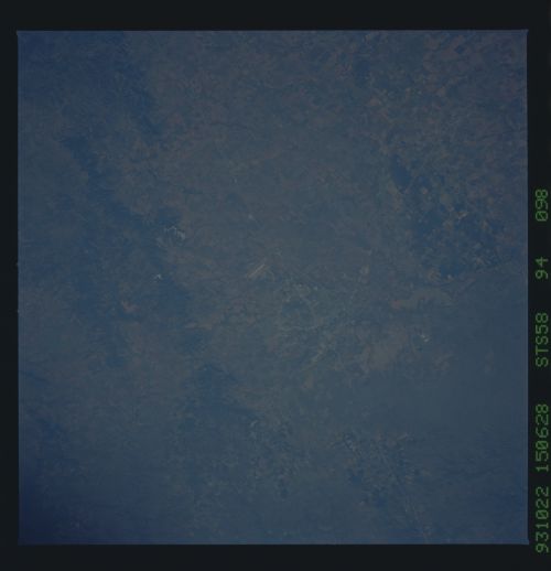
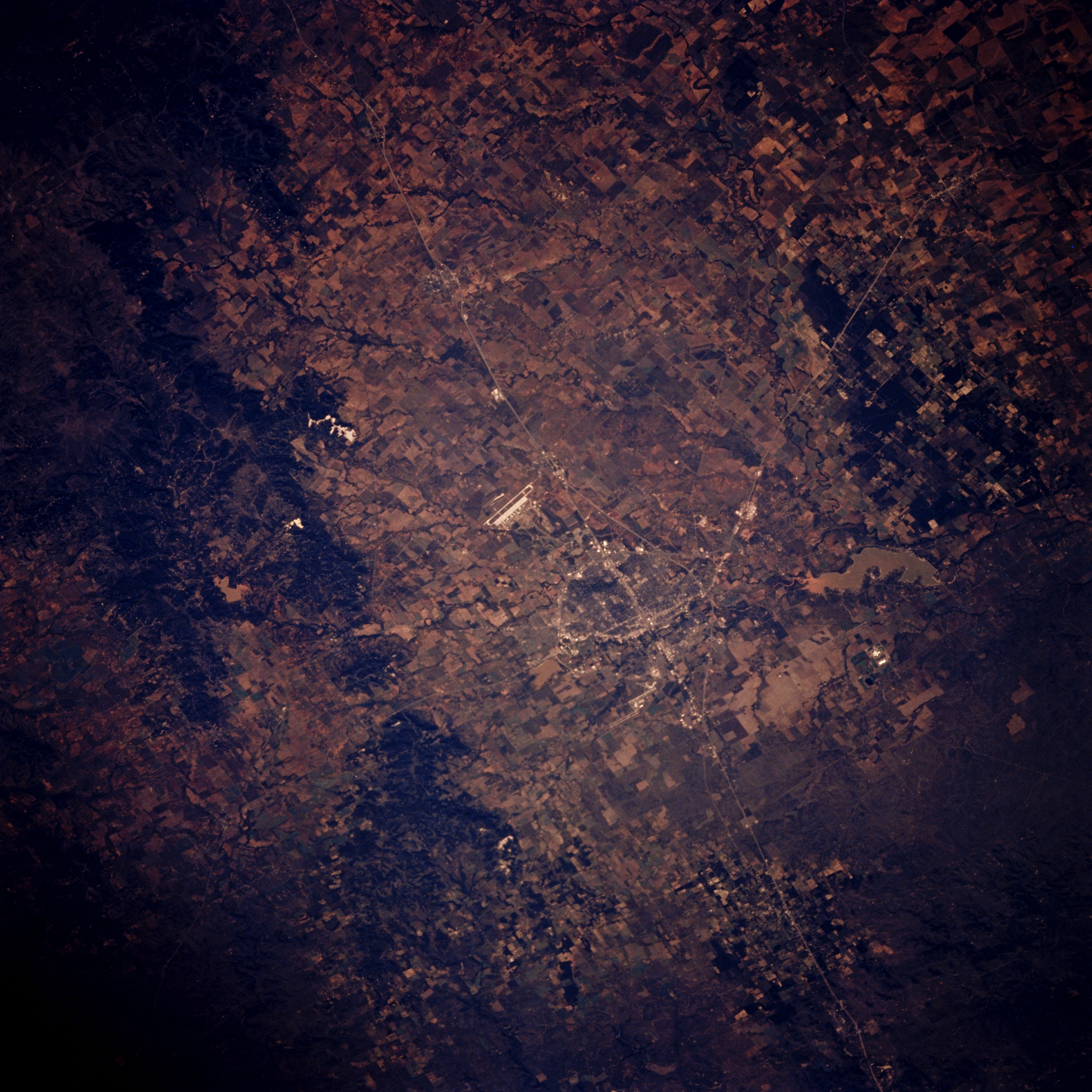
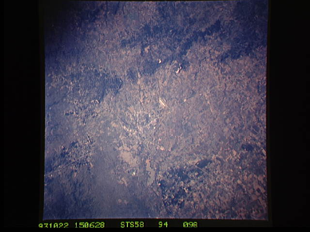
Image Caption: STS058-094-098 Abilene, Texas, U.S.A. October 1993
Discernible in this photograph is east-west-oriented Interstate Highway 20 traversing a relatively flat section of the Permian Basin, looping around the northern edge of Abilene, and intersecting with combined Texas Highways 83 and 277, which connect Abilene with Anson to the northwest. South of Interstate Highway 20 and southwest of Abilene is Dyess Air Force Base with its highly reflective runway and apron (center of photograph). Visible are muddy Lake Fort Phantom Hill north of Abilene and, to the south, the Callahan Divide, a series of generally east-west-trending, vegetated limestone ridges that divert streams north of the divide into the Brazos River and streams south of the divide into the Colorado River Basin.
Discernible in this photograph is east-west-oriented Interstate Highway 20 traversing a relatively flat section of the Permian Basin, looping around the northern edge of Abilene, and intersecting with combined Texas Highways 83 and 277, which connect Abilene with Anson to the northwest. South of Interstate Highway 20 and southwest of Abilene is Dyess Air Force Base with its highly reflective runway and apron (center of photograph). Visible are muddy Lake Fort Phantom Hill north of Abilene and, to the south, the Callahan Divide, a series of generally east-west-trending, vegetated limestone ridges that divert streams north of the divide into the Brazos River and streams south of the divide into the Colorado River Basin.
