STS058-91-74
| NASA Photo ID | STS058-91-74 |
| Focal Length | 100mm |
| Date taken | 1993.10.22 |
| Time taken | 15:09:09 GMT |
Cloud masks available for this image:
Spacecraft nadir point: 36.9° N, 88.4° W
Photo center point: 36.0° N, 88.0° W
Photo center point by machine learning:
Photo center point: 36.0° N, 88.0° W
Photo center point by machine learning:
Nadir to Photo Center: South
Spacecraft Altitude: 155 nautical miles (287km)
Country or Geographic Name: | USA-TENNESSEE |
Features: | W OF NASHVILLE |
| Features Found Using Machine Learning: | |
Cloud Cover Percentage: | 30 (26-50)% |
Sun Elevation Angle: | 31° |
Sun Azimuth: | 136° |
Camera: | Hasselblad |
Focal Length: | 100mm |
Camera Tilt: | 21 degrees |
Format: | 5017: Kodak, natural color positive, Ektachrome, X Professional, ASA 64, standard base |
Film Exposure: | Normal |
| Additional Information | |
| Width | Height | Annotated | Cropped | Purpose | Links |
|---|---|---|---|---|---|
| 5700 pixels | 5900 pixels | No | No | Download Image | |
| 500 pixels | 518 pixels | No | No | Download Image | |
| 640 pixels | 480 pixels | No | No | Download Image |
Download Packaged File
Download a Google Earth KML for this Image
View photo footprint information
Download a GeoTIFF for this photo
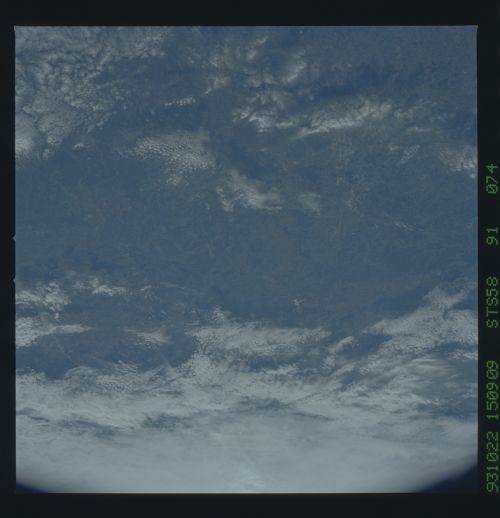
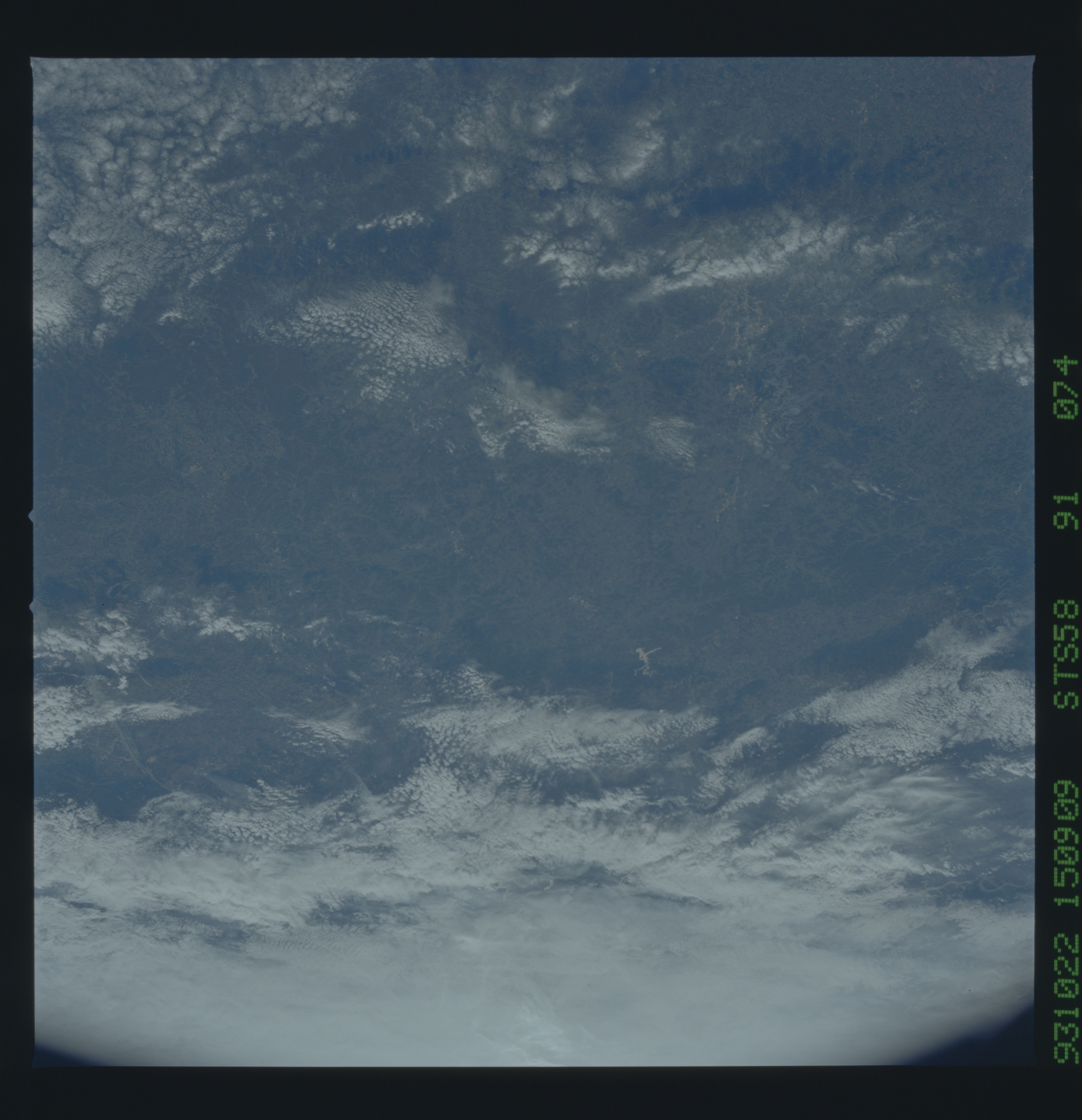
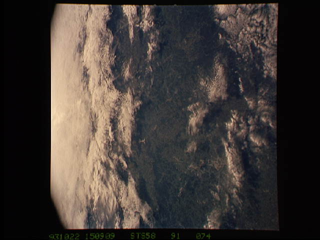
Image Caption: Murfreesboro, Nashville Basin, TN
The largest cityscape in the view is Nashville (top left), part of which is obscured under a band of clouds (the Cumberland River, on which Nashville lies, can not be seen under the cloud band). Close to the main cloud mass on the opposite side of the view, lies a small lake (Normandy Lake) in sunglint (right center) 70 miles southeast of Nashville. Between these two features, in the center of the Nashville Basin, lies the city of Murfreesboro. The city appears here as a spider-like pattern one third the distance from Nashville towards Normandy Lake. The Tennessee River can be seen bottom right and top right through holes in the cloud.
The largest cityscape in the view is Nashville (top left), part of which is obscured under a band of clouds (the Cumberland River, on which Nashville lies, can not be seen under the cloud band). Close to the main cloud mass on the opposite side of the view, lies a small lake (Normandy Lake) in sunglint (right center) 70 miles southeast of Nashville. Between these two features, in the center of the Nashville Basin, lies the city of Murfreesboro. The city appears here as a spider-like pattern one third the distance from Nashville towards Normandy Lake. The Tennessee River can be seen bottom right and top right through holes in the cloud.
