STS058-89-13
| NASA Photo ID | STS058-89-13 |
| Focal Length | 250mm |
| Date taken | 1993.10.21 |
| Time taken | 18:14:15 GMT |
Resolutions offered for this image:
5700 x 5900 pixels 500 x 518 pixels 640 x 480 pixels 867 x 706 pixels
5700 x 5900 pixels 500 x 518 pixels 640 x 480 pixels 867 x 706 pixels


Cloud masks available for this image:
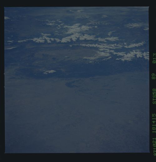
Spacecraft nadir point: 38.9° N, 97.8° W
Photo center point: 39.5° N, 105.0° W
Photo center point by machine learning:
Photo center point: 39.5° N, 105.0° W
Photo center point by machine learning:
Nadir to Photo Center: West
Spacecraft Altitude: 156 nautical miles (289km)
Country or Geographic Name: | USA-COLORADO |
Features: | COLORADO SPRINGS AREA |
| Features Found Using Machine Learning: | |
Cloud Cover Percentage: | 0 (no clouds present) |
Sun Elevation Angle: | 40° |
Sun Azimuth: | 179° |
Camera: | Hasselblad |
Focal Length: | 250mm |
Camera Tilt: | Low Oblique |
Format: | 5017: Kodak, natural color positive, Ektachrome, X Professional, ASA 64, standard base |
Film Exposure: | Under Exposed |
| Additional Information | |
| Width | Height | Annotated | Cropped | Purpose | Links |
|---|---|---|---|---|---|
| 5700 pixels | 5900 pixels | No | No | Download Image | |
| 500 pixels | 518 pixels | No | No | Download Image | |
| 640 pixels | 480 pixels | No | No | Download Image | |
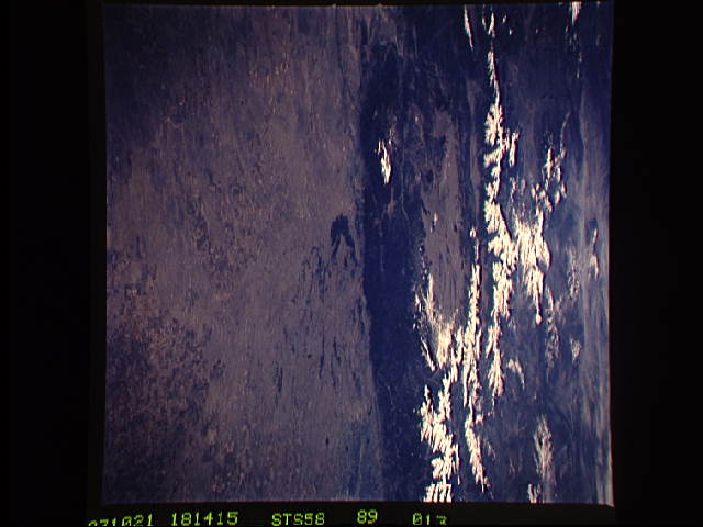
| 867 pixels | 706 pixels | Yes | No | Download Image |
Download Packaged File
Download a Google Earth KML for this Image
View photo footprint information
Download a GeoTIFF for this photo
Image Caption: An oblique westward view, across the wheat fields and cattle pastures, of eastern Colorado to the Front Range of the Rocky Mountains. Denver is bisected at the center of the right edge of the frame. Pikes Peak and Colorado Springs are left of center, and the Arkansas River Valley with Canyon City and the Royal Gorge are along the left edge of the frame. This view shows the startling contrast between the nearly-flat High Plains and the ancient geological uplift of the Rockies.
