STS058-88-89
| NASA Photo ID | STS058-88-89 |
| Focal Length | 250mm |
| Date taken | 1993.10.22 |
| Time taken | 16:46:23 GMT |
Resolutions offered for this image:
3904 x 3869 pixels 639 x 634 pixels 5700 x 5900 pixels 500 x 518 pixels 640 x 480 pixels
3904 x 3869 pixels 639 x 634 pixels 5700 x 5900 pixels 500 x 518 pixels 640 x 480 pixels
Cloud masks available for this image:
Spacecraft nadir point: 38.3° N, 76.8° W
Photo center point: 40.0° N, 77.0° W
Photo center point by machine learning:
Photo center point: 40.0° N, 77.0° W
Photo center point by machine learning:
Nadir to Photo Center: North
Spacecraft Altitude: 155 nautical miles (287km)
Country or Geographic Name: | USA-PENNSYLVANIA |
Features: | SUSQUEHANNA RIVER |
| Features Found Using Machine Learning: | |
Cloud Cover Percentage: | 5 (1-10)% |
Sun Elevation Angle: | 41° |
Sun Azimuth: | 178° |
Camera: | Hasselblad |
Focal Length: | 250mm |
Camera Tilt: | 34 degrees |
Format: | 5017: Kodak, natural color positive, Ektachrome, X Professional, ASA 64, standard base |
Film Exposure: | Normal |
| Additional Information | |
| Width | Height | Annotated | Cropped | Purpose | Links |
|---|---|---|---|---|---|
| 3904 pixels | 3869 pixels | No | No | Earth From Space collection | Download Image |
| 639 pixels | 634 pixels | No | No | Earth From Space collection | Download Image |
| 5700 pixels | 5900 pixels | No | No | Download Image | |
| 500 pixels | 518 pixels | No | No | Download Image | |
| 640 pixels | 480 pixels | No | No | Download Image |
Download Packaged File
Download a Google Earth KML for this Image
View photo footprint information
Download a GeoTIFF for this photo
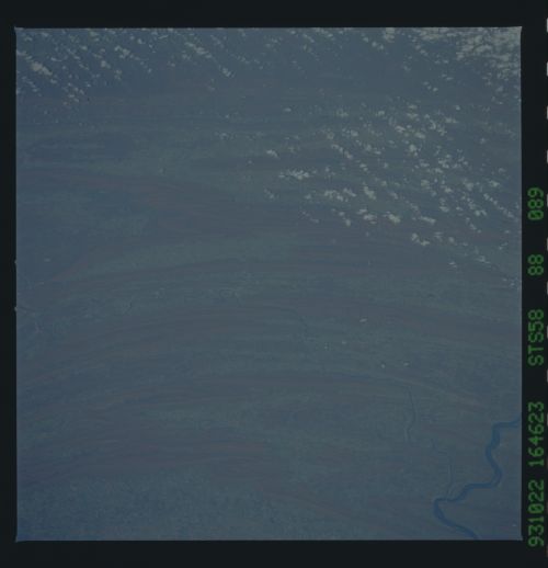
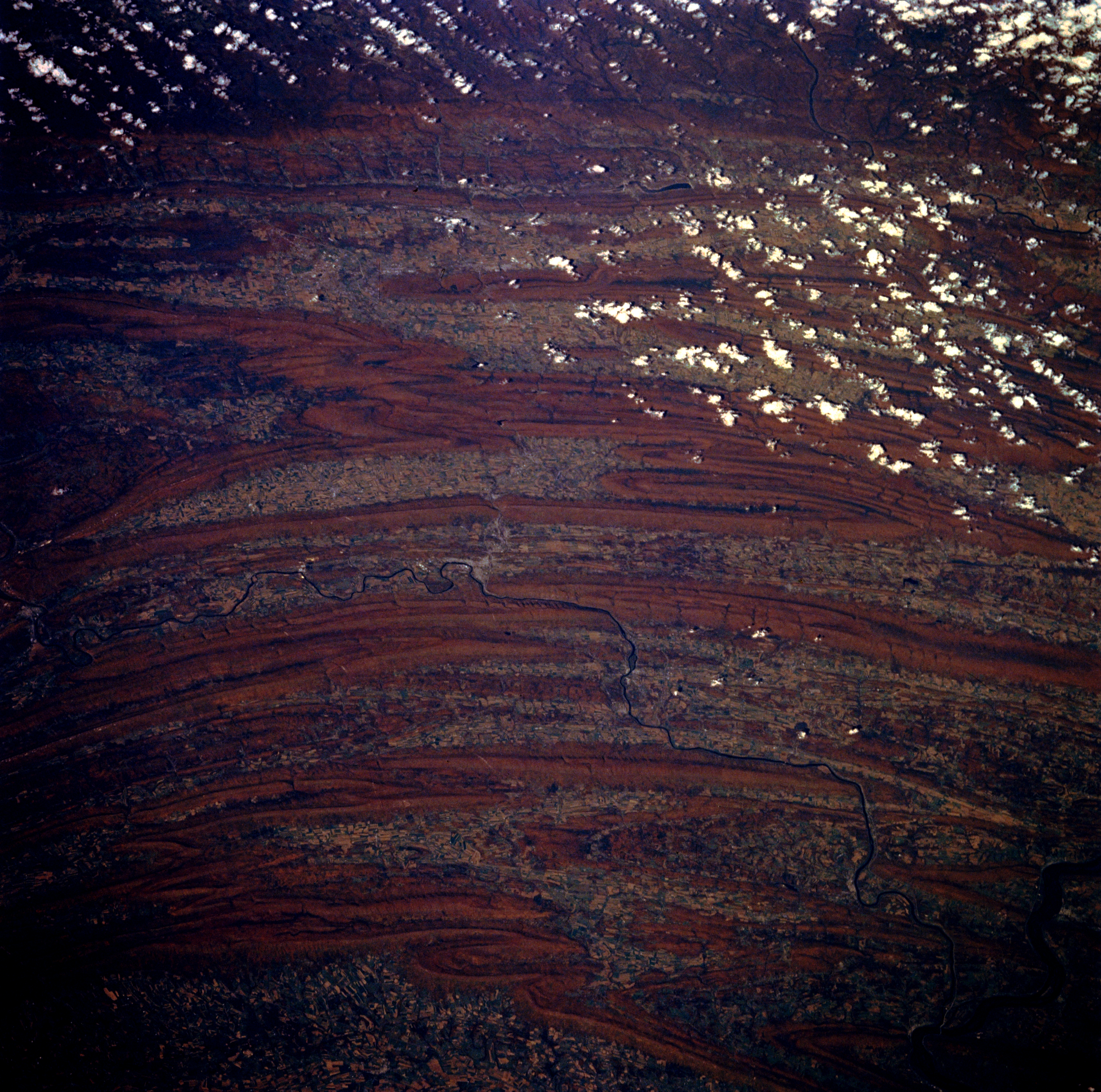
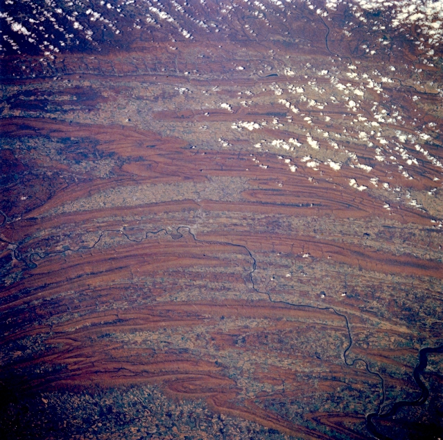
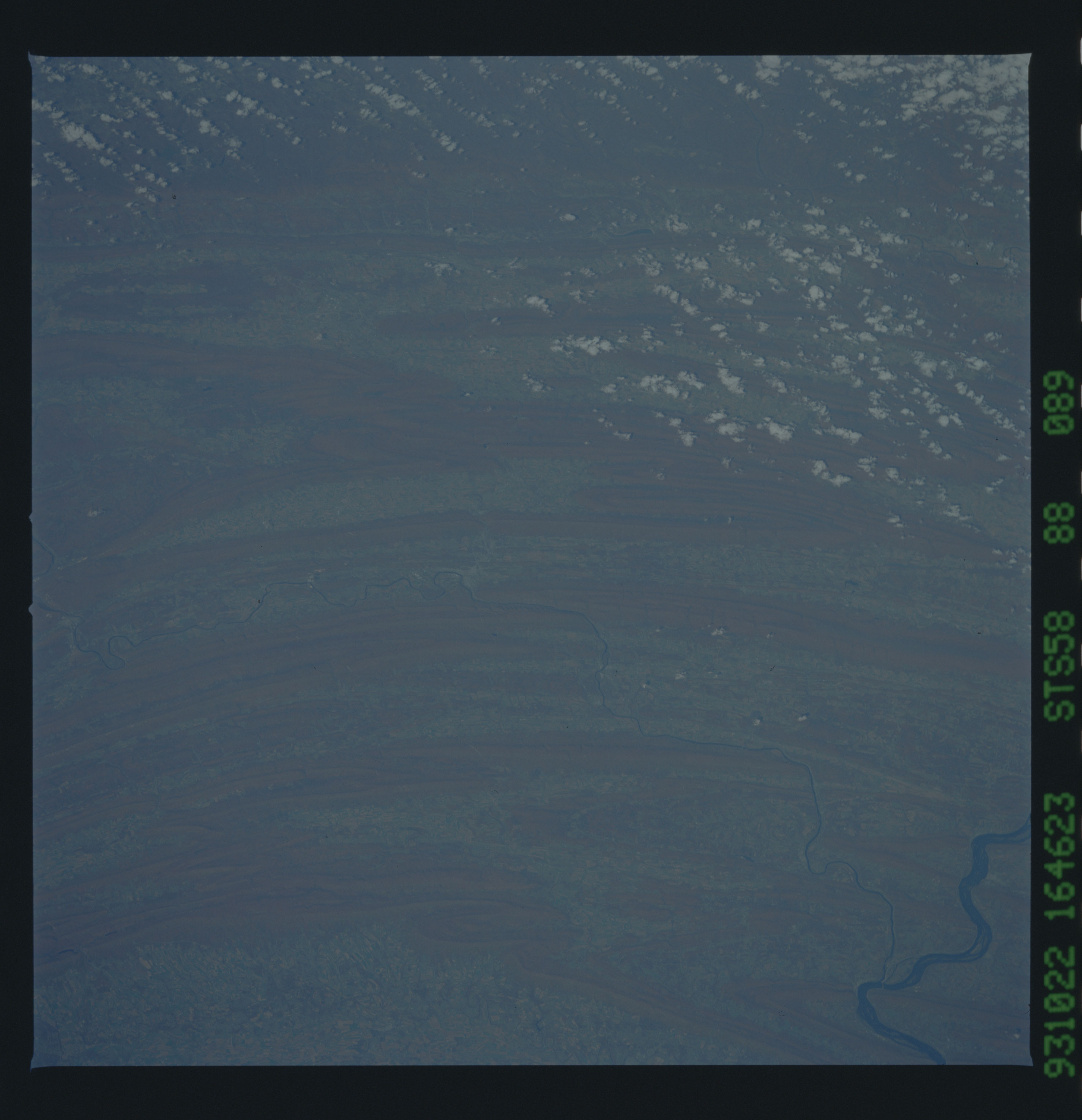
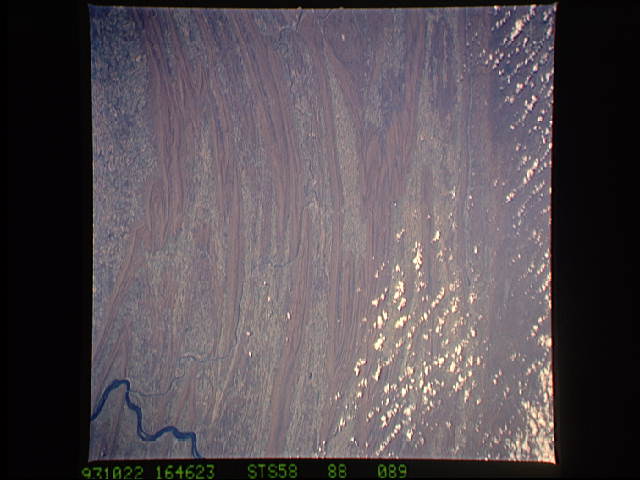
Image Caption: STS058-088-089 Folded Appalachian Mountains, Pennsylvania October 1993
Several individual mountain ranges of the folded Appalachian Mountains in south central Pennsylvania can be distinguished in this northwest view. Starting at the bottom of the image, where part of the intensively cultivated Cumberland Valley west of Harrisburg is visible, the individual ranges include the Blue Mountains, the Tuscarora Mountains, Jacks Mountain, Tussey Mountain, and Bald Eagle Mountain. The Juniata River, a branch of the larger Susquehanna River (lower right corner), is the thin, dark feature that has created water gaps though some of the ridges in this ridge and valley landscape. The location of Lewisville, Pennsylvania is barely discernible near the center of the image where the Juniata River makes a U-shaped turn. Some colorful autumn foliage is visible on the forested mountain ridges. Maximum elevations above sea level for many of these ridges range from 1500 to 2500 feet (455 to 760 meters).
Several individual mountain ranges of the folded Appalachian Mountains in south central Pennsylvania can be distinguished in this northwest view. Starting at the bottom of the image, where part of the intensively cultivated Cumberland Valley west of Harrisburg is visible, the individual ranges include the Blue Mountains, the Tuscarora Mountains, Jacks Mountain, Tussey Mountain, and Bald Eagle Mountain. The Juniata River, a branch of the larger Susquehanna River (lower right corner), is the thin, dark feature that has created water gaps though some of the ridges in this ridge and valley landscape. The location of Lewisville, Pennsylvania is barely discernible near the center of the image where the Juniata River makes a U-shaped turn. Some colorful autumn foliage is visible on the forested mountain ridges. Maximum elevations above sea level for many of these ridges range from 1500 to 2500 feet (455 to 760 meters).
