STS058-88-85
| NASA Photo ID | STS058-88-85 |
| Focal Length | 250mm |
| Date taken | 1993.10.22 |
| Time taken | 16:46:05 GMT |
Resolutions offered for this image:
3904 x 3875 pixels 639 x 635 pixels 5700 x 5900 pixels 500 x 518 pixels 640 x 480 pixels
3904 x 3875 pixels 639 x 635 pixels 5700 x 5900 pixels 500 x 518 pixels 640 x 480 pixels


Cloud masks available for this image:
Spacecraft nadir point: 38.5° N, 78.3° W
Photo center point: 39.5° N, 79.0° W
Photo center point by machine learning:
Photo center point: 39.5° N, 79.0° W
Photo center point by machine learning:
Nadir to Photo Center: Northwest
Spacecraft Altitude: 155 nautical miles (287km)
Country or Geographic Name: | USA-MARYLAND |
Features: | CUMBERLAND AREA |
| Features Found Using Machine Learning: | |
Cloud Cover Percentage: | 0 (no clouds present) |
Sun Elevation Angle: | 40° |
Sun Azimuth: | 176° |
Camera: | Hasselblad |
Focal Length: | 250mm |
Camera Tilt: | 25 degrees |
Format: | 5017: Kodak, natural color positive, Ektachrome, X Professional, ASA 64, standard base |
Film Exposure: | Normal |
| Additional Information | |
| Width | Height | Annotated | Cropped | Purpose | Links |
|---|---|---|---|---|---|
| 3904 pixels | 3875 pixels | No | No | Earth From Space collection | Download Image |
| 639 pixels | 635 pixels | No | No | Earth From Space collection | Download Image |
| 5700 pixels | 5900 pixels | No | No | Download Image | |
| 500 pixels | 518 pixels | No | No | Download Image | |
| 640 pixels | 480 pixels | No | No | Download Image |
Download Packaged File
Download a Google Earth KML for this Image
View photo footprint information
Download a GeoTIFF for this photo
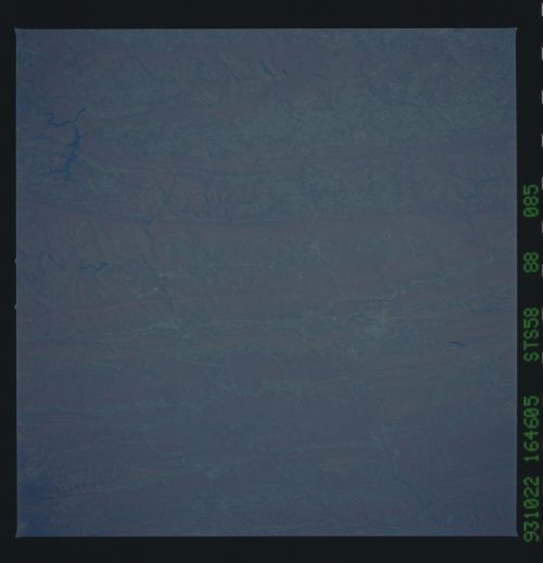
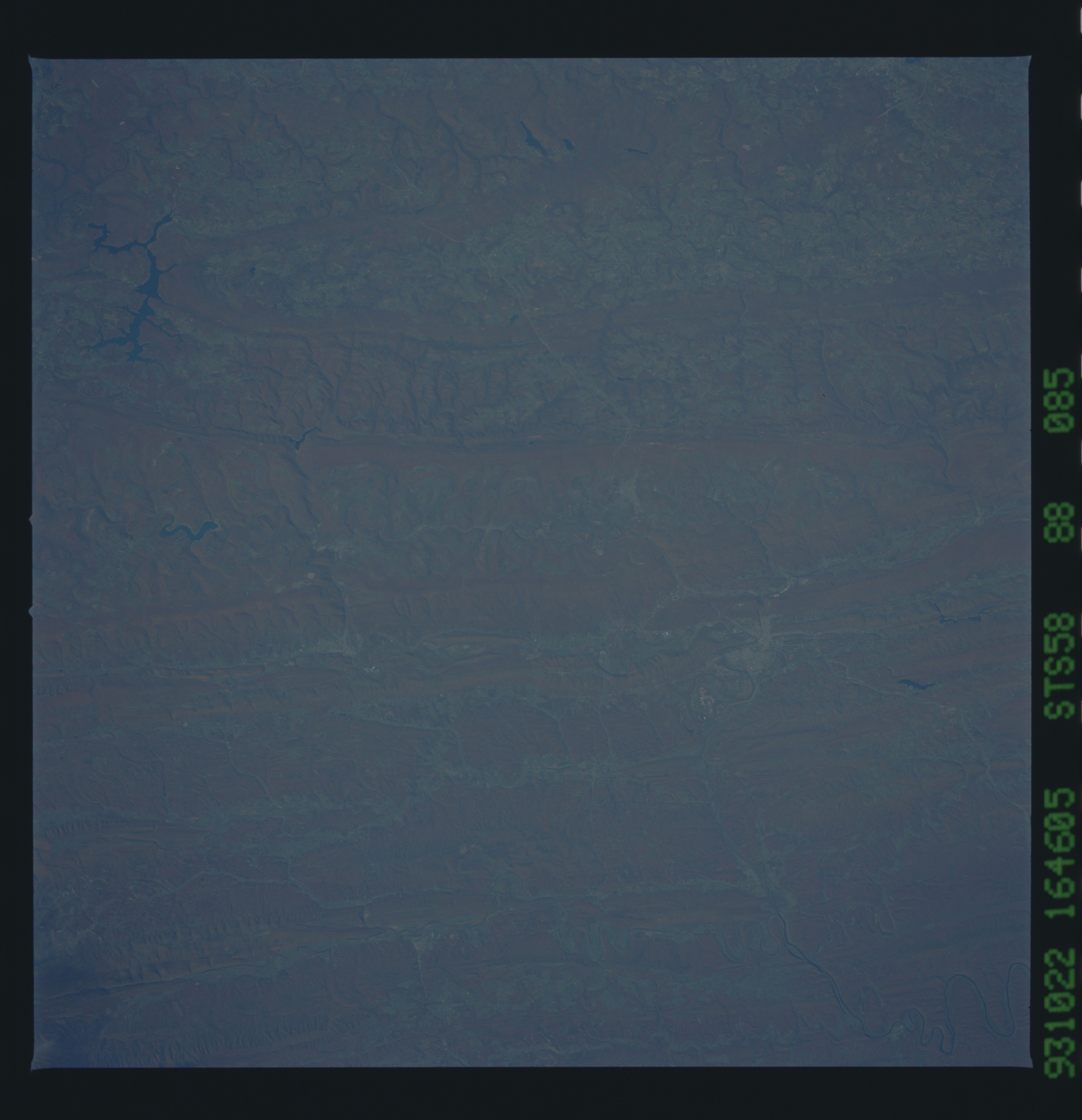
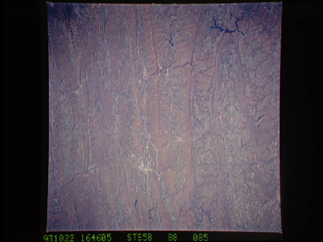
Image Caption: STS058-088-085 Cumberland Area, Maryland, U.S.A. October 1993
Many paralleling low mountain ridges and their intervening valleys of the northeast-southwest trending Appalachian Mountains are visible in this southeast looking view of parts of Maryland, West Virginia, and Pennsylvania. Many of the valleys have well entrenched drainage patterns that show up on this autumn scene. The lighter color feature near the left middle side of the image shows the location of Cumberland (Maryland), and the east-west aligned light-colored line that passes Cumberland is the Interstate Highway 68 right of way and parts of U.S. Highway 40 as these roadways cut through the mountainous terrain. Three reservoirs (dark features) can be identified in the lower right quadrant of the picture: Deep Creek Lake (largest of the three lakes); Jennings Randolph Lake (medium sized of the three located on the North Branch of the Potomac River); and the Savage River Reservoir (smallest of the three lakes). The reservoir northwest of the Cumberland area is the Gordon River (Pennsylvania). STS058-088-086 is a companion image to this view but shows more terrain in Pennsylvania, and the Potomac River is easier to identify (upper center).
Many paralleling low mountain ridges and their intervening valleys of the northeast-southwest trending Appalachian Mountains are visible in this southeast looking view of parts of Maryland, West Virginia, and Pennsylvania. Many of the valleys have well entrenched drainage patterns that show up on this autumn scene. The lighter color feature near the left middle side of the image shows the location of Cumberland (Maryland), and the east-west aligned light-colored line that passes Cumberland is the Interstate Highway 68 right of way and parts of U.S. Highway 40 as these roadways cut through the mountainous terrain. Three reservoirs (dark features) can be identified in the lower right quadrant of the picture: Deep Creek Lake (largest of the three lakes); Jennings Randolph Lake (medium sized of the three located on the North Branch of the Potomac River); and the Savage River Reservoir (smallest of the three lakes). The reservoir northwest of the Cumberland area is the Gordon River (Pennsylvania). STS058-088-086 is a companion image to this view but shows more terrain in Pennsylvania, and the Potomac River is easier to identify (upper center).
