STS058-88-84
| NASA Photo ID | STS058-88-84 |
| Focal Length | 250mm |
| Date taken | 1993.10.22 |
| Time taken | 16:46:03 GMT |
Resolutions offered for this image:
3904 x 3904 pixels 639 x 639 pixels 5700 x 5900 pixels 500 x 518 pixels 640 x 480 pixels
3904 x 3904 pixels 639 x 639 pixels 5700 x 5900 pixels 500 x 518 pixels 640 x 480 pixels
Cloud masks available for this image:
Spacecraft nadir point: 38.5° N, 78.4° W
Photo center point: 39.5° N, 79.5° W
Photo center point by machine learning:
Photo center point: 39.5° N, 79.5° W
Photo center point by machine learning:
Nadir to Photo Center: Northwest
Spacecraft Altitude: 155 nautical miles (287km)
Country or Geographic Name: | USA-MARYLAND |
Features: | DEEP CREEK LAKE AREA |
| Features Found Using Machine Learning: | |
Cloud Cover Percentage: | 0 (no clouds present) |
Sun Elevation Angle: | 40° |
Sun Azimuth: | 176° |
Camera: | Hasselblad |
Focal Length: | 250mm |
Camera Tilt: | 30 degrees |
Format: | 5017: Kodak, natural color positive, Ektachrome, X Professional, ASA 64, standard base |
Film Exposure: | Normal |
| Additional Information | |
| Width | Height | Annotated | Cropped | Purpose | Links |
|---|---|---|---|---|---|
| 3904 pixels | 3904 pixels | No | No | Earth From Space collection | Download Image |
| 639 pixels | 639 pixels | No | No | Earth From Space collection | Download Image |
| 5700 pixels | 5900 pixels | No | No | Download Image | |
| 500 pixels | 518 pixels | No | No | Download Image | |
| 640 pixels | 480 pixels | No | No | Download Image |
Download Packaged File
Download a Google Earth KML for this Image
View photo footprint information
Download a GeoTIFF for this photo
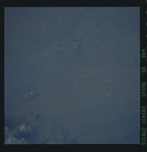
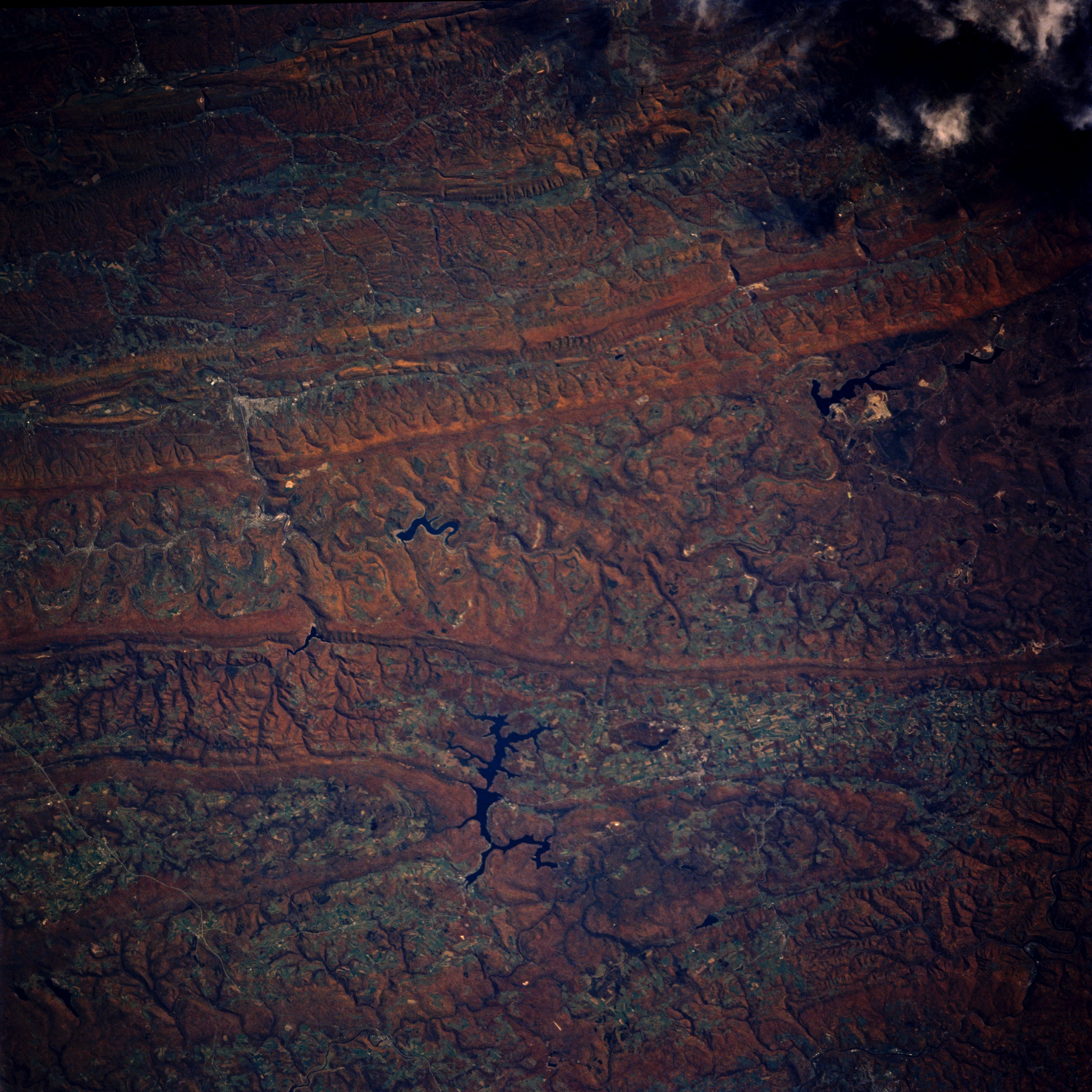
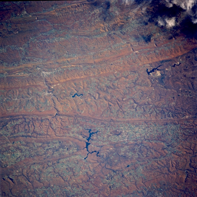
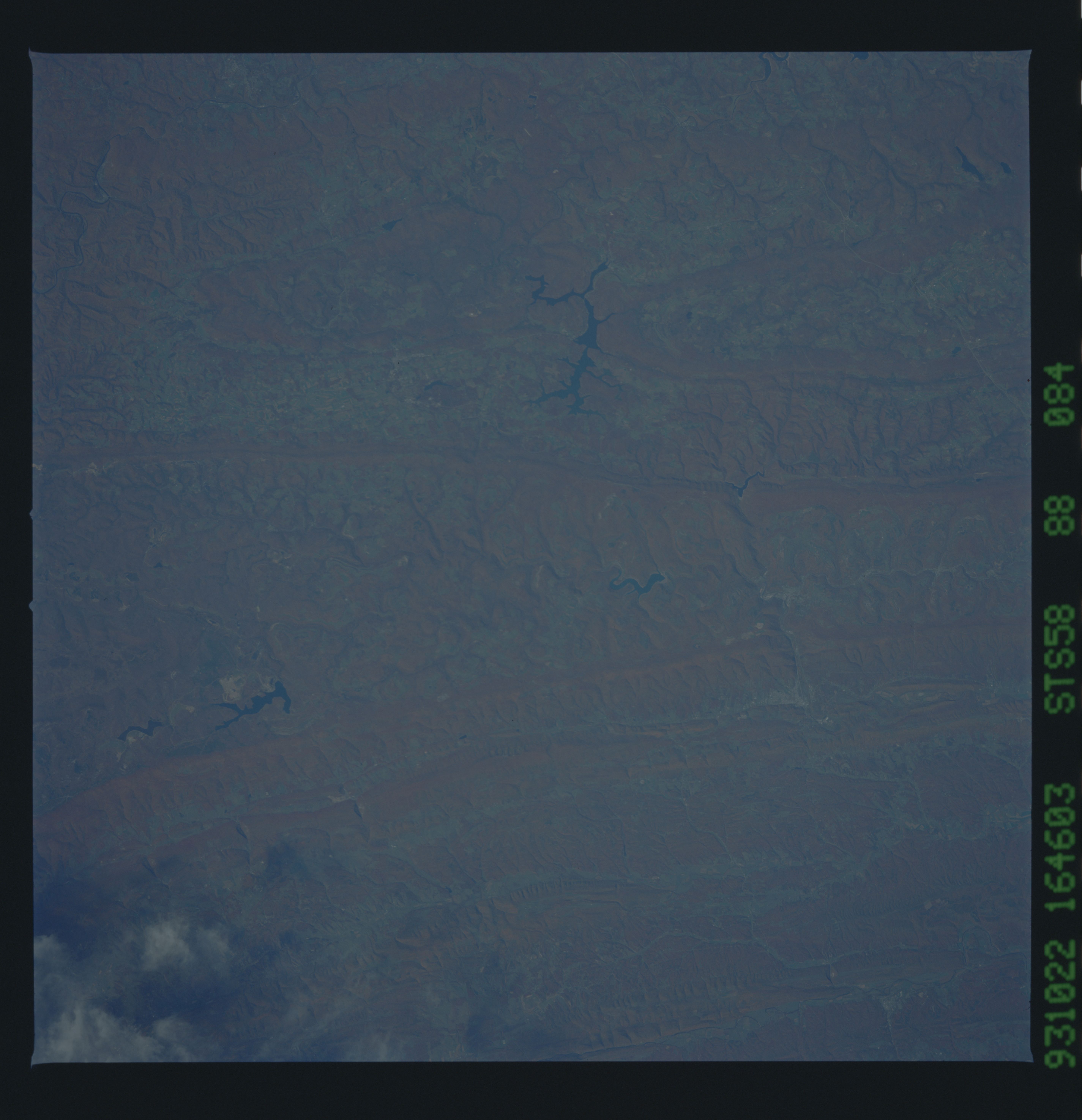
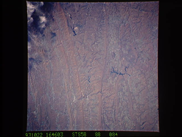
Image Caption: STS058-088-084 Appalachian Mountains; Deep Creek Lake, Maryland, U.S.A. October 1993
The linear ridges and valleys of the Appalachian Mountains can be seen in this beautiful near-nadir looking view. Acquired during the fall of the year, the image depicts the reddish colors of the autumn foliage. The southern and middle Appalachians are capped with the most richly varied deciduous forest in North America. The fertile grooves, broad valleys, and myriad streams offer congenial habitats to a remarkable diversity of plant and animal life. Once a great mountain range attaining altitudes of over 17000 feet (5185 meters), hundreds of millions of years of erosion have reduced the Appalachians to their present 2000 to 4000 feet (610 to 1220 meters) altitude. Rivers have expanded valleys and have even cut through many of the mountain ranges on their journey eastward toward the Atlantic Ocean. This particular view is centered in western Maryland in the vicinity of Deep Creek Lake (located midway between the center and bottom center of the image). The large lake in the upper right portion of the image is Mount Storm Lake.
The linear ridges and valleys of the Appalachian Mountains can be seen in this beautiful near-nadir looking view. Acquired during the fall of the year, the image depicts the reddish colors of the autumn foliage. The southern and middle Appalachians are capped with the most richly varied deciduous forest in North America. The fertile grooves, broad valleys, and myriad streams offer congenial habitats to a remarkable diversity of plant and animal life. Once a great mountain range attaining altitudes of over 17000 feet (5185 meters), hundreds of millions of years of erosion have reduced the Appalachians to their present 2000 to 4000 feet (610 to 1220 meters) altitude. Rivers have expanded valleys and have even cut through many of the mountain ranges on their journey eastward toward the Atlantic Ocean. This particular view is centered in western Maryland in the vicinity of Deep Creek Lake (located midway between the center and bottom center of the image). The large lake in the upper right portion of the image is Mount Storm Lake.
