STS058-88-63

| NASA Photo ID | STS058-88-63 |
| Focal Length | 250mm |
| Date taken | 1993.10.22 |
| Time taken | 16:43:50 GMT |
Resolutions offered for this image:
3904 x 3869 pixels 639 x 634 pixels 5700 x 5900 pixels 500 x 518 pixels 640 x 480 pixels
3904 x 3869 pixels 639 x 634 pixels 5700 x 5900 pixels 500 x 518 pixels 640 x 480 pixels
Cloud masks available for this image:
Spacecraft nadir point: 39.1° N, 89.2° W
Photo center point: 38.0° N, 90.0° W
Photo center point by machine learning:
Photo center point: 38.0° N, 90.0° W
Photo center point by machine learning:
Nadir to Photo Center: Southwest
Spacecraft Altitude: 155 nautical miles (287km)
Country or Geographic Name: | USA-MISSOURI |
Features: | MISSISSIPPI R, S ST LOUIS |
| Features Found Using Machine Learning: | |
Cloud Cover Percentage: | 0 (no clouds present) |
Sun Elevation Angle: | 38° |
Sun Azimuth: | 162° |
Camera: | Hasselblad |
Focal Length: | 250mm |
Camera Tilt: | 28 degrees |
Format: | 5017: Kodak, natural color positive, Ektachrome, X Professional, ASA 64, standard base |
Film Exposure: | Normal |
| Additional Information | |
| Width | Height | Annotated | Cropped | Purpose | Links |
|---|---|---|---|---|---|
| 3904 pixels | 3869 pixels | No | No | Earth From Space collection | Download Image |
| 639 pixels | 634 pixels | No | No | Earth From Space collection | Download Image |
| 5700 pixels | 5900 pixels | No | No | Download Image | |
| 500 pixels | 518 pixels | No | No | Download Image | |
| 640 pixels | 480 pixels | No | No | Download Image |
Download Packaged File
Download a Google Earth KML for this Image
View photo footprint information
Download a GeoTIFF for this photo
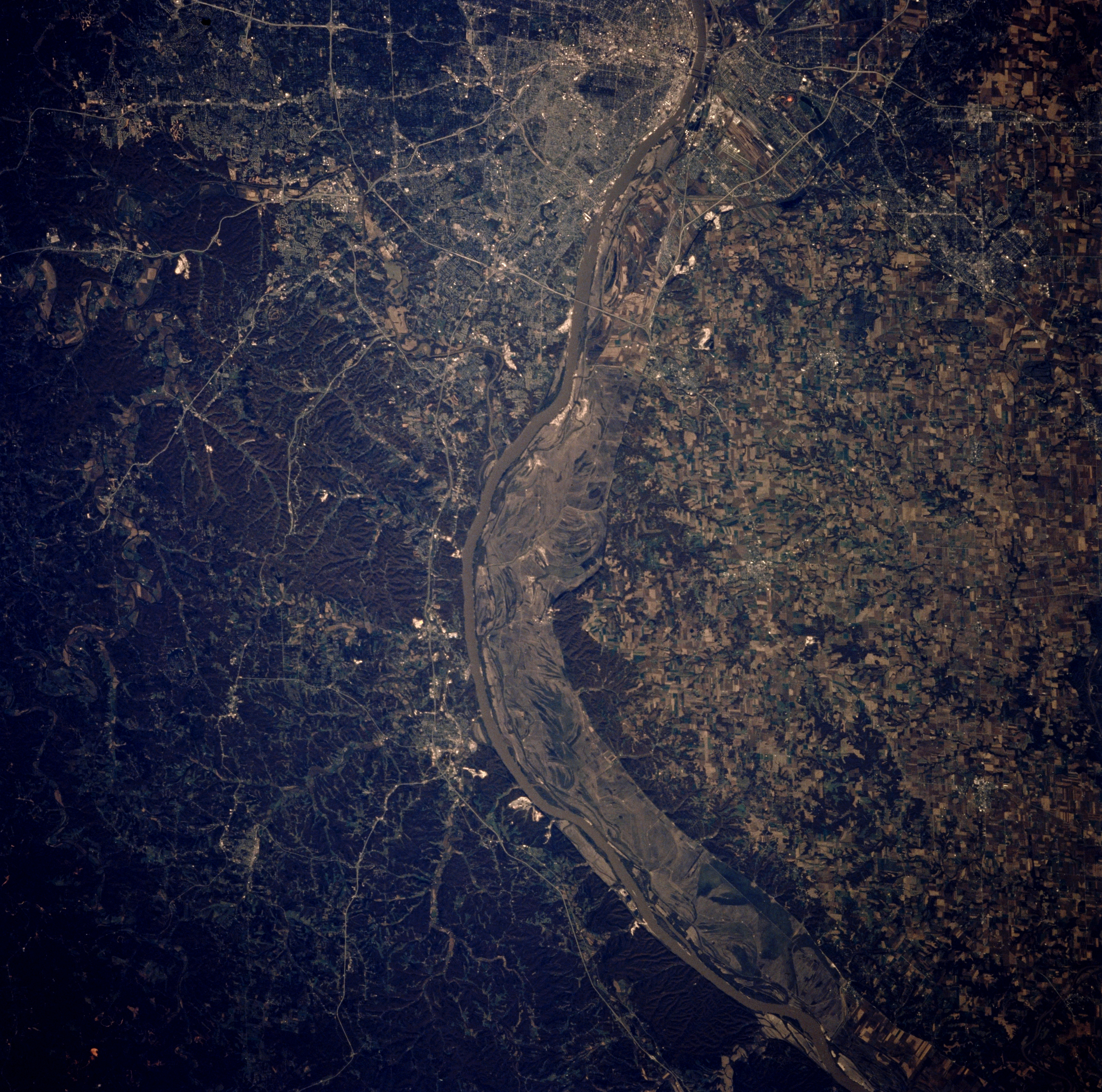
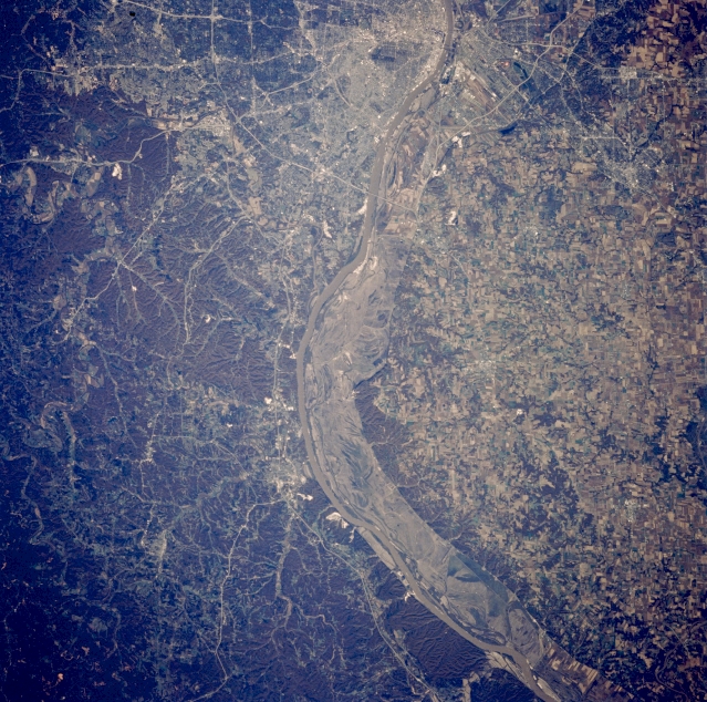
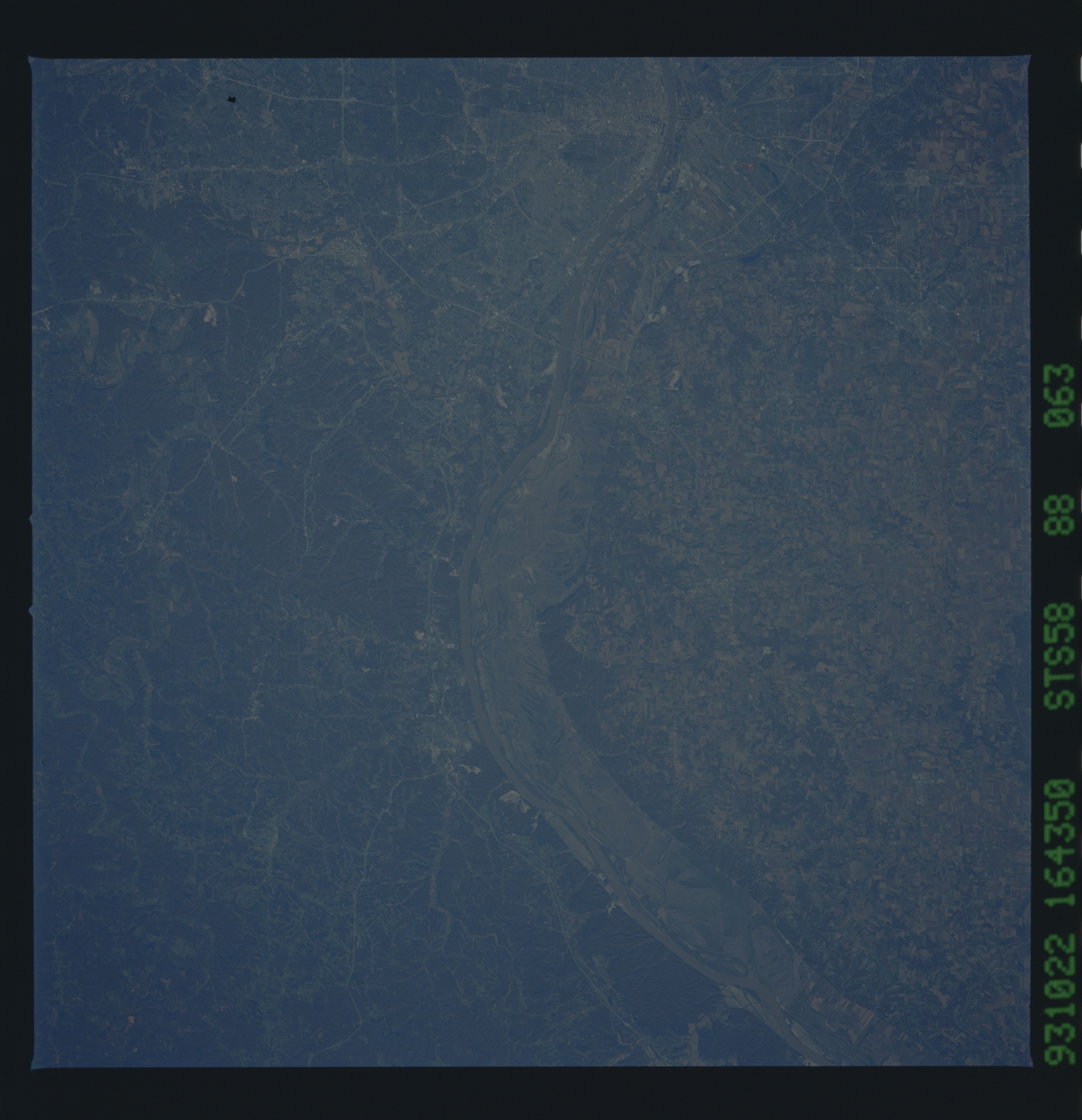
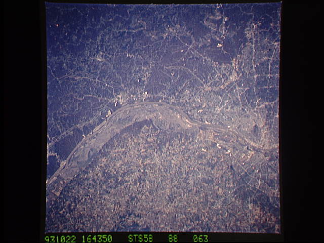
Image Caption: STS058-088-063 Mississippi River and South Saint Louis, Missouri, U.S.A. October 1993
The floodplain of the muddy Mississippi River, scoured by the floods of the spring and early summer of 1993, is apparent south from Saint Louis in this near-vertical photograph. Damages in the millions of dollars were suffered when levees broke, causing flooding to prime agricultural land, homes, and small towns. Most of the flooding occurred east of the river in Illinois where numerous agricultural fields are apparent. Some bluffs on either side of the river exceed 300 feet (93 meters) above the floodplain. Discernible are the northeastern boundary of the Ozark Plateau west of the Mississippi River and Festus and Crystal City south of Saint Louis.
The floodplain of the muddy Mississippi River, scoured by the floods of the spring and early summer of 1993, is apparent south from Saint Louis in this near-vertical photograph. Damages in the millions of dollars were suffered when levees broke, causing flooding to prime agricultural land, homes, and small towns. Most of the flooding occurred east of the river in Illinois where numerous agricultural fields are apparent. Some bluffs on either side of the river exceed 300 feet (93 meters) above the floodplain. Discernible are the northeastern boundary of the Ozark Plateau west of the Mississippi River and Festus and Crystal City south of Saint Louis.
