STS058-88-55
| NASA Photo ID | STS058-88-55 |
| Focal Length | 250mm |
| Date taken | 1993.10.22 |
| Time taken | 16:43:21 GMT |
Resolutions offered for this image:
3904 x 3869 pixels 639 x 634 pixels 5700 x 5900 pixels 500 x 518 pixels 640 x 480 pixels
3904 x 3869 pixels 639 x 634 pixels 5700 x 5900 pixels 500 x 518 pixels 640 x 480 pixels


Cloud masks available for this image:
Spacecraft nadir point: 39.1° N, 91.6° W
Photo center point: 38.5° N, 92.0° W
Photo center point by machine learning:
Photo center point: 38.5° N, 92.0° W
Photo center point by machine learning:
Nadir to Photo Center: Southwest
Spacecraft Altitude: 155 nautical miles (287km)
Country or Geographic Name: | USA-MISSOURI |
Features: | MISSOURI RIVER, JEFFERSON CITY |
| Features Found Using Machine Learning: | |
Cloud Cover Percentage: | 0 (no clouds present) |
Sun Elevation Angle: | 37° |
Sun Azimuth: | 159° |
Camera: | Hasselblad |
Focal Length: | 250mm |
Camera Tilt: | 16 degrees |
Format: | 5017: Kodak, natural color positive, Ektachrome, X Professional, ASA 64, standard base |
Film Exposure: | Normal |
| Additional Information | |
| Width | Height | Annotated | Cropped | Purpose | Links |
|---|---|---|---|---|---|
| 3904 pixels | 3869 pixels | No | No | Earth From Space collection | Download Image |
| 639 pixels | 634 pixels | No | No | Earth From Space collection | Download Image |
| 5700 pixels | 5900 pixels | No | No | Download Image | |
| 500 pixels | 518 pixels | No | No | Download Image | |
| 640 pixels | 480 pixels | No | No | Download Image |
Download Packaged File
Download a Google Earth KML for this Image
View photo footprint information
Download a GeoTIFF for this photo
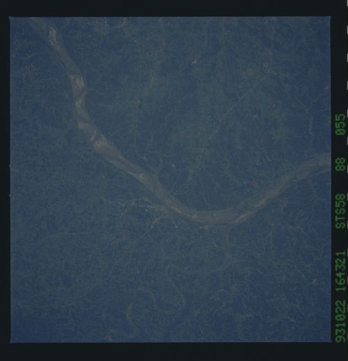
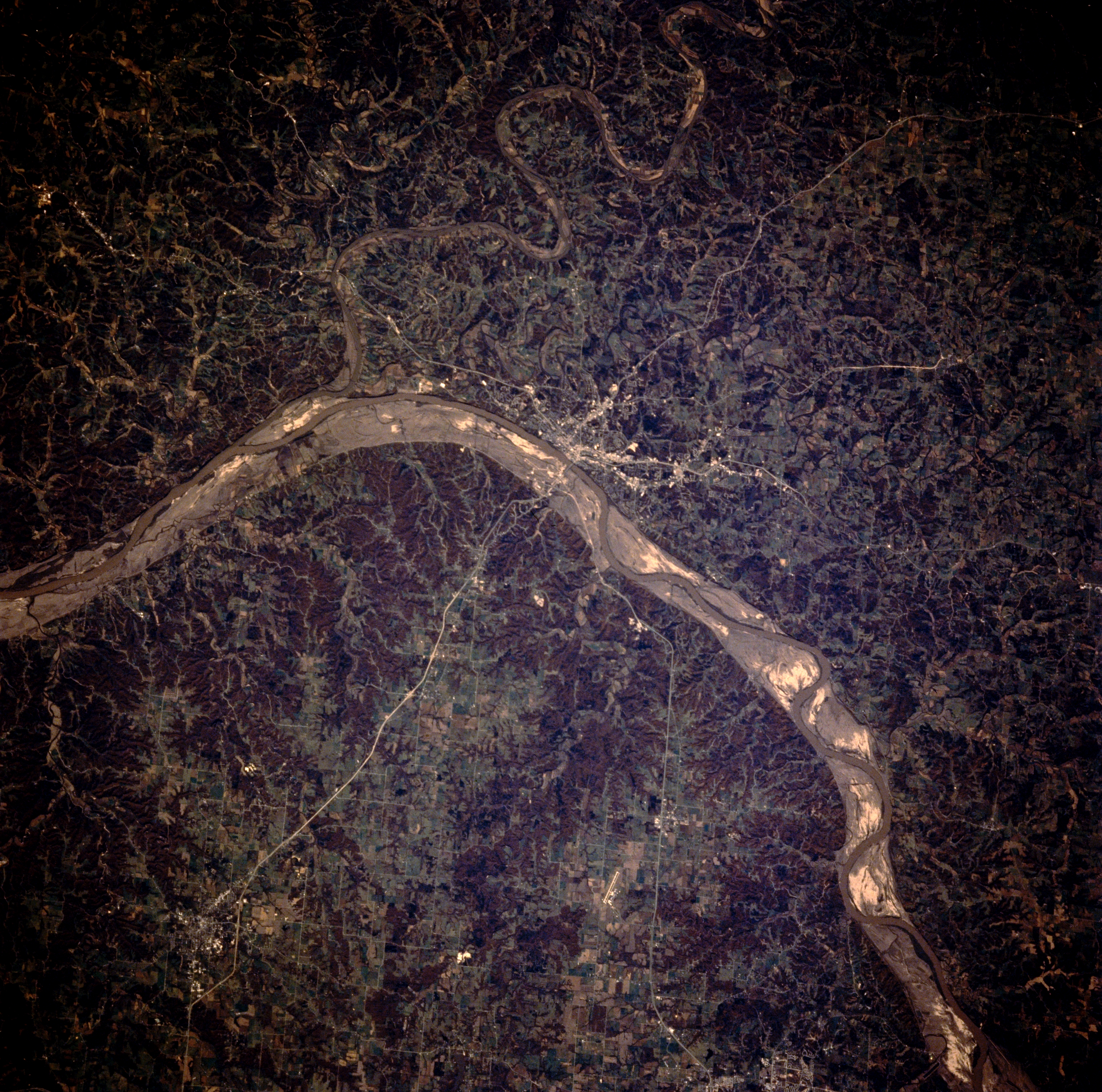
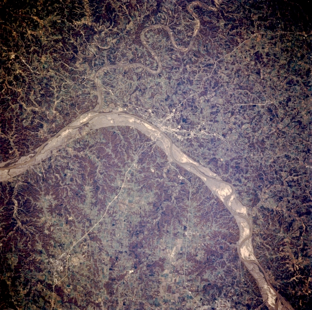
Image Caption: STS058-088-055 Missouri River and Jefferson City, Missouri, U.S.A. October 1993
Featured in this near-vertical photograph are the Missouri River and Jefferson City, the capital of Missouri that sits on the south bank of the Missouri River near the mouth of the Osage River. This portion of the Missouri passes through the northern boundary of the dissected Ozark Plateau with its forests, streams, and lakes--a popular tourist region. Visible is the scoured Missouri River floodplain, the result of the floods of the spring and early summer of 1993. Although the floodplain is narrower in this region than farther west, scattered agricultural fields were prevalent on the floodplain before the flood.
Featured in this near-vertical photograph are the Missouri River and Jefferson City, the capital of Missouri that sits on the south bank of the Missouri River near the mouth of the Osage River. This portion of the Missouri passes through the northern boundary of the dissected Ozark Plateau with its forests, streams, and lakes--a popular tourist region. Visible is the scoured Missouri River floodplain, the result of the floods of the spring and early summer of 1993. Although the floodplain is narrower in this region than farther west, scattered agricultural fields were prevalent on the floodplain before the flood.
