STS058-88-53
| NASA Photo ID | STS058-88-53 |
| Focal Length | 250mm |
| Date taken | 1993.10.22 |
| Time taken | 16:43:07 GMT |
Resolutions offered for this image:
3904 x 3875 pixels 639 x 635 pixels 5700 x 5900 pixels 500 x 518 pixels 640 x 480 pixels
3904 x 3875 pixels 639 x 635 pixels 5700 x 5900 pixels 500 x 518 pixels 640 x 480 pixels

Cloud masks available for this image:
Spacecraft nadir point: 39.1° N, 92.7° W
Photo center point: 39.0° N, 93.0° W
Photo center point by machine learning:
Photo center point: 39.0° N, 93.0° W
Photo center point by machine learning:
Nadir to Photo Center: West
Spacecraft Altitude: 155 nautical miles (287km)
Country or Geographic Name: | USA-KANSAS |
Features: | MISSOURI RIVER, MARSHAL |
| Features Found Using Machine Learning: | |
Cloud Cover Percentage: | 0 (no clouds present) |
Sun Elevation Angle: | 37° |
Sun Azimuth: | 158° |
Camera: | Hasselblad |
Focal Length: | 250mm |
Camera Tilt: | 7 degrees |
Format: | 5017: Kodak, natural color positive, Ektachrome, X Professional, ASA 64, standard base |
Film Exposure: | Normal |
| Additional Information | |
| Width | Height | Annotated | Cropped | Purpose | Links |
|---|---|---|---|---|---|
| 3904 pixels | 3875 pixels | No | No | Earth From Space collection | Download Image |
| 639 pixels | 635 pixels | No | No | Earth From Space collection | Download Image |
| 5700 pixels | 5900 pixels | No | No | Download Image | |
| 500 pixels | 518 pixels | No | No | Download Image | |
| 640 pixels | 480 pixels | No | No | Download Image |
Download Packaged File
Download a Google Earth KML for this Image
View photo footprint information
Download a GeoTIFF for this photo
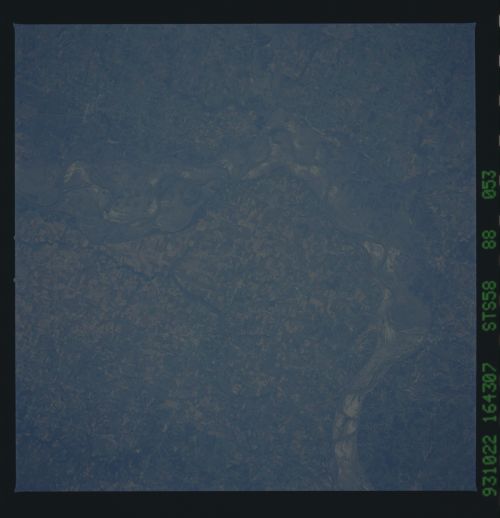
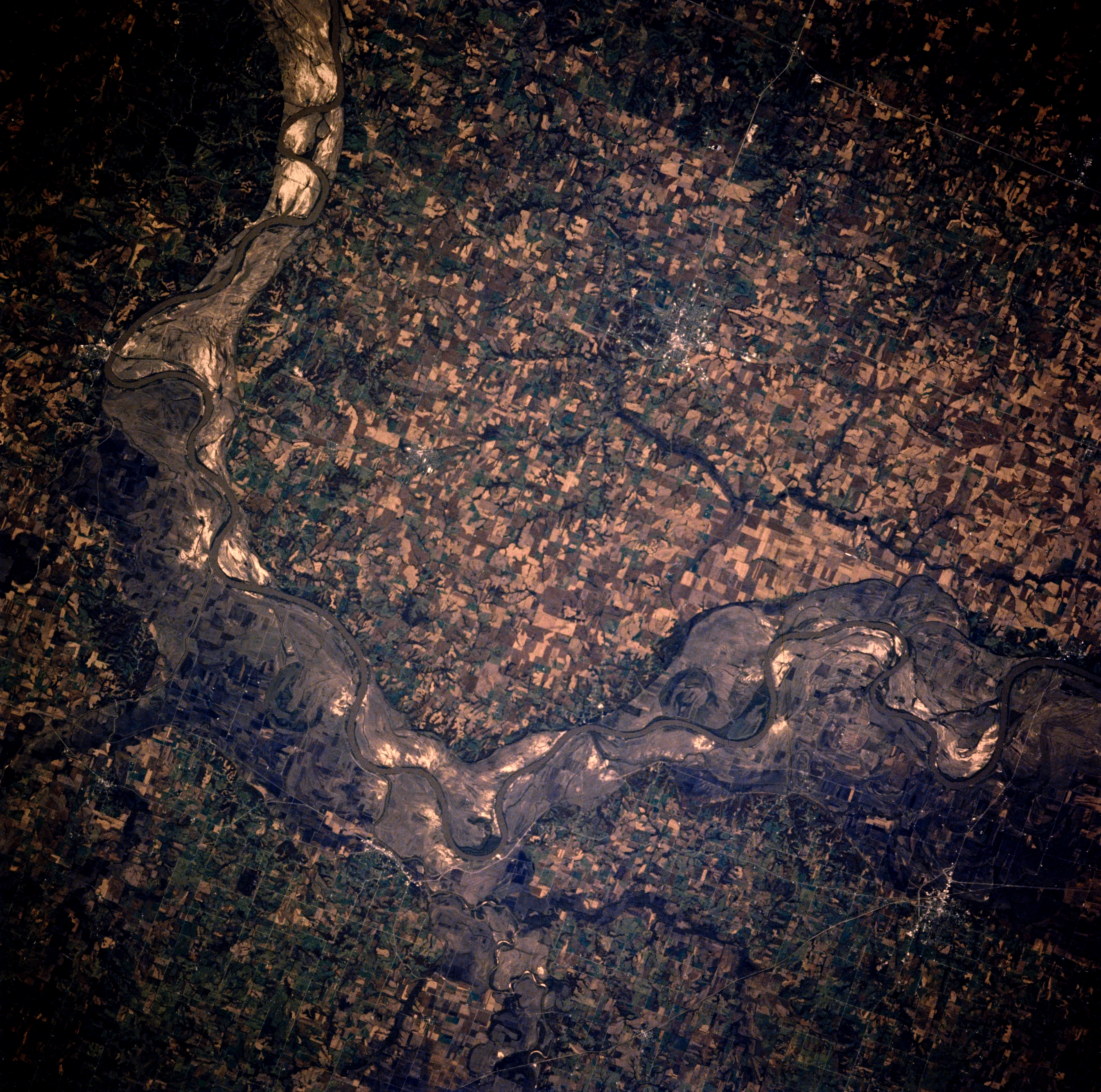
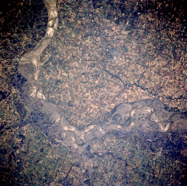
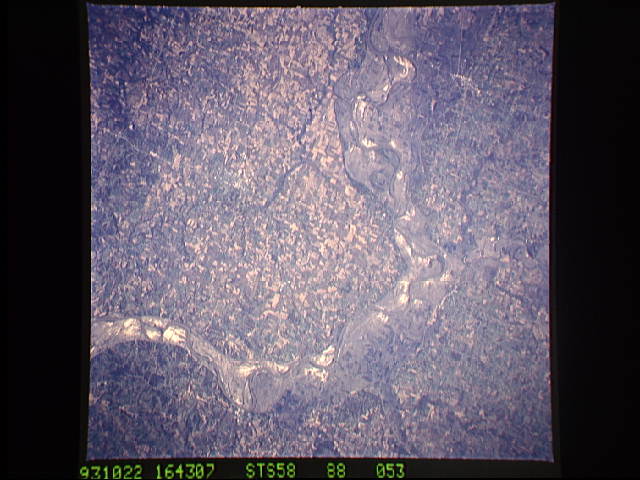
Image Caption: STS058-088-053 Missouri River and Marshall, Missouri, U.S.A. October 1993
Apparent in this near-vertical photograph are the east-flowing Missouri River and scars of the spring and early summer floods of 1993. The bluffs on either side of the Missouri River rise to 200 feet (63 meters) above the scoured, sandy landscape in the floodplain that formerly contained numerous agriculture field patterns. Many highways and roads in the floodplain were under water during the height of the flooding, which was considered the worst in more than 100 years. Marshall (above right of center), a commercial and transportation hub in the middle of a prime agricultural region, is discernible south of the Missouri River.
Apparent in this near-vertical photograph are the east-flowing Missouri River and scars of the spring and early summer floods of 1993. The bluffs on either side of the Missouri River rise to 200 feet (63 meters) above the scoured, sandy landscape in the floodplain that formerly contained numerous agriculture field patterns. Many highways and roads in the floodplain were under water during the height of the flooding, which was considered the worst in more than 100 years. Marshall (above right of center), a commercial and transportation hub in the middle of a prime agricultural region, is discernible south of the Missouri River.
